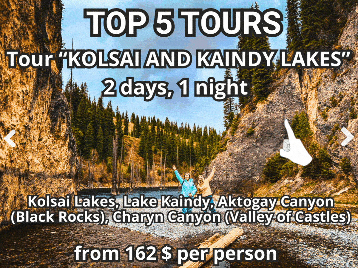
 Kyrgyzstan Authors tours
 Kyrgyzstan Authors tours
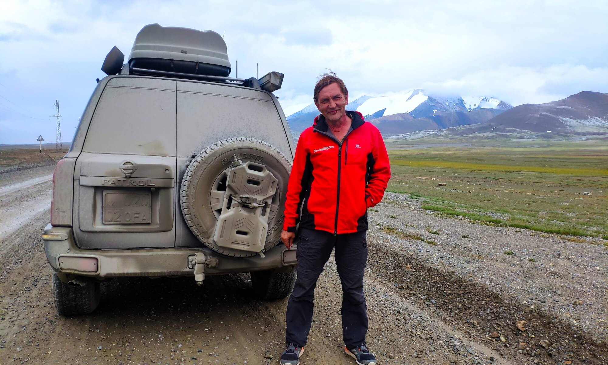 Kyrgyzstan Authors tours
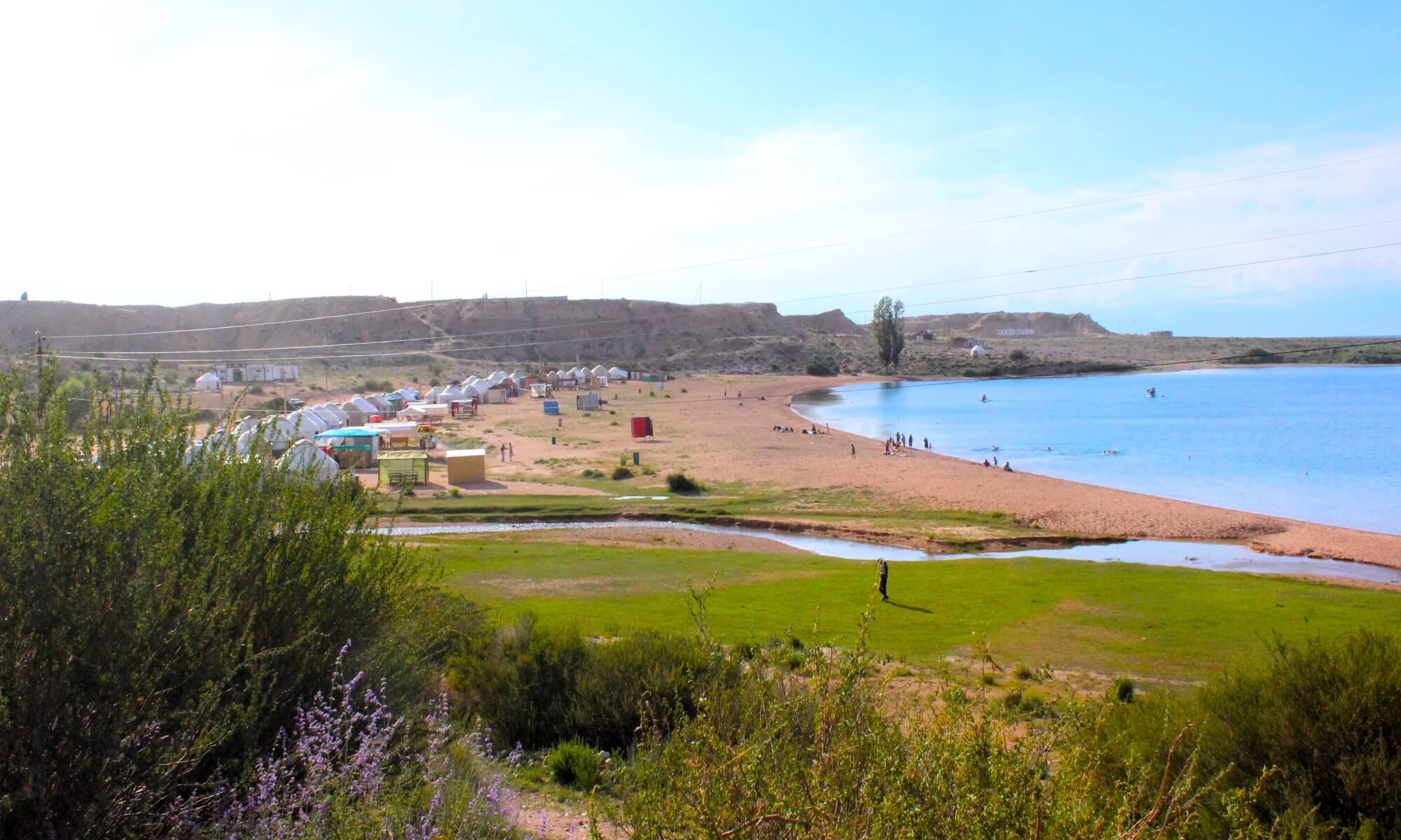 Kyrgyzstan Authors tours
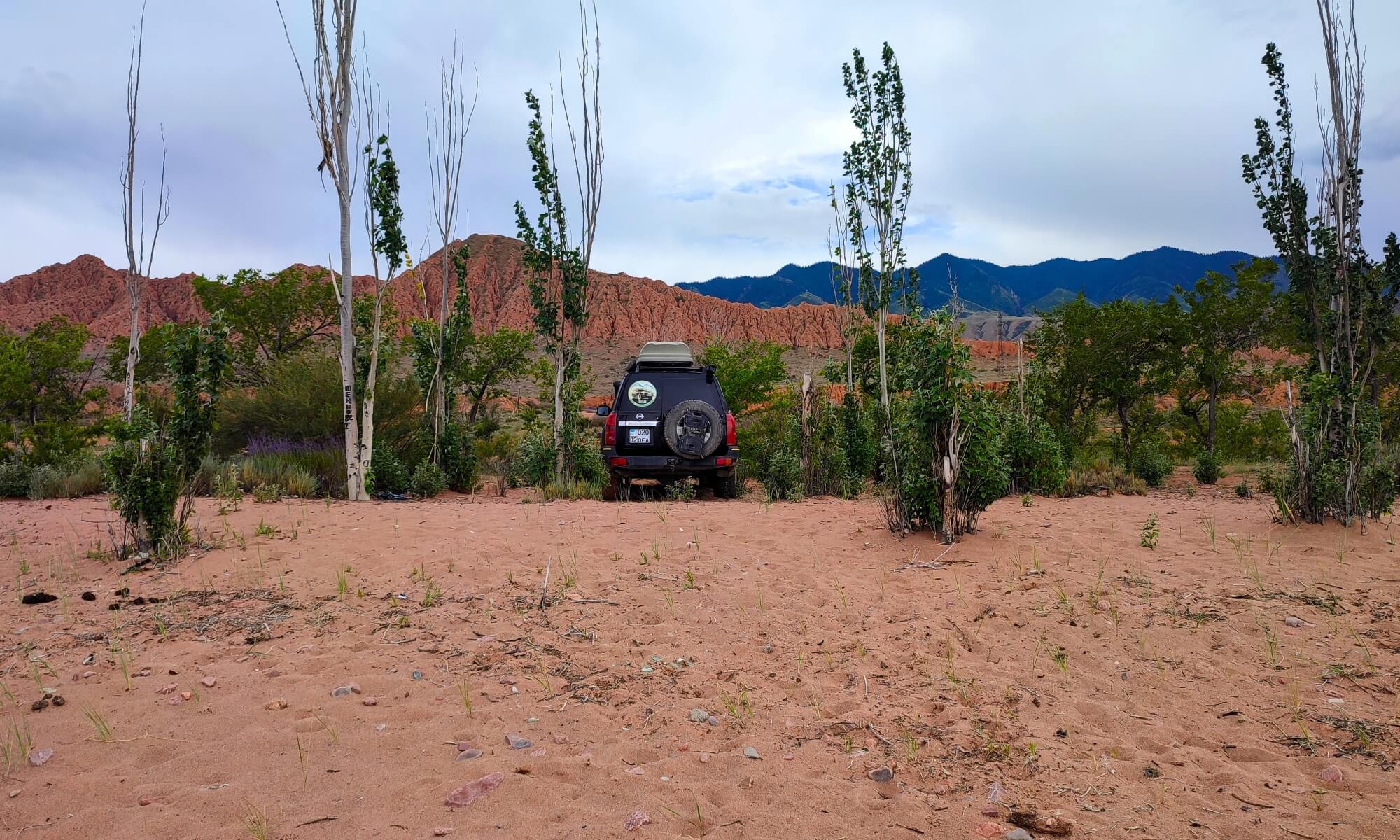 Kyrgyzstan Authors tours
 Kyrgyzstan Authors tours
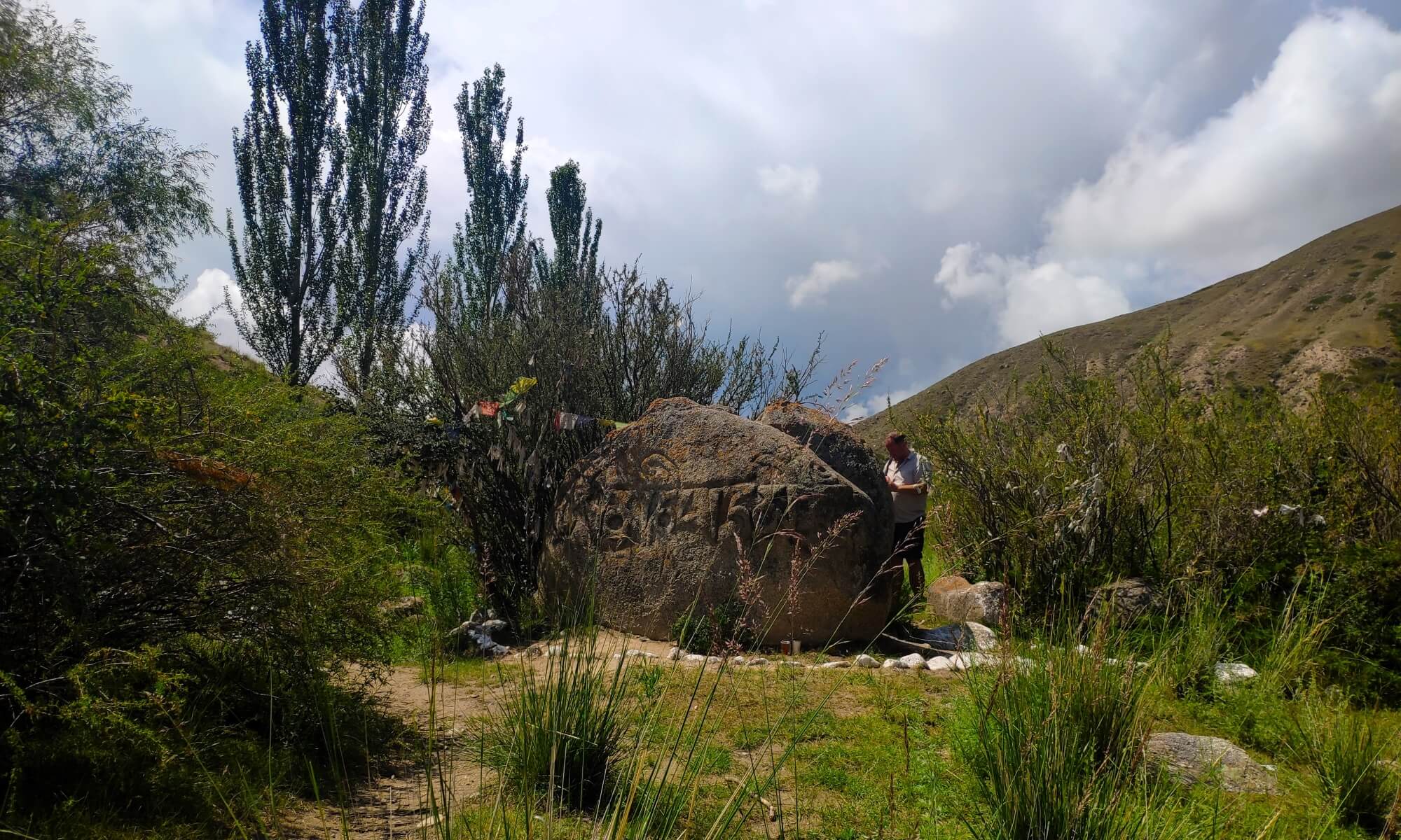 Kyrgyzstan Authors tours
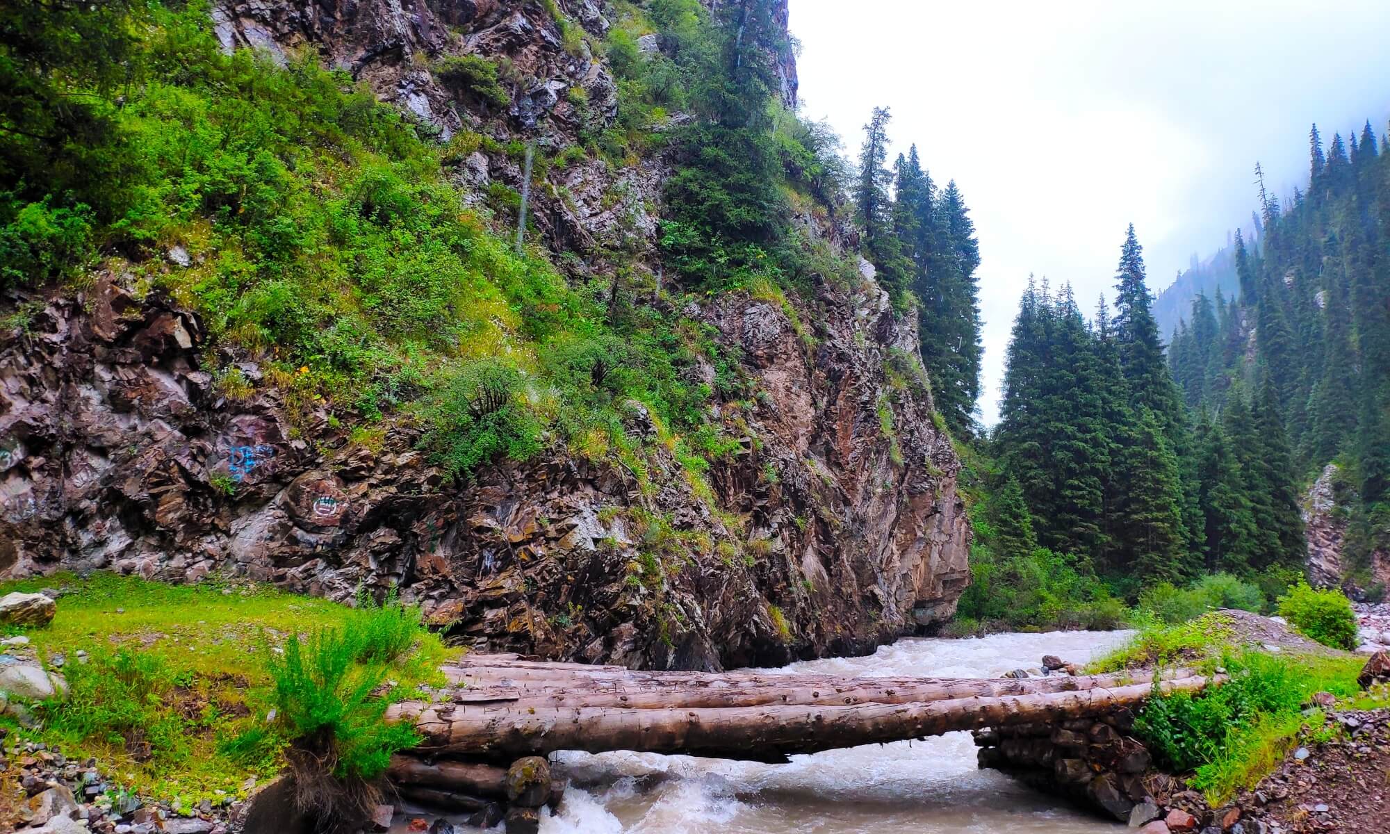 Kyrgyzstan Authors tours
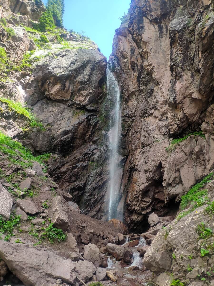 Kyrgyzstan Authors tours
 Kyrgyzstan Authors tours
 Kyrgyzstan Authors tours
 Kyrgyzstan Authors tours
 Kyrgyzstan Authors tours
 Kyrgyzstan Authors tours
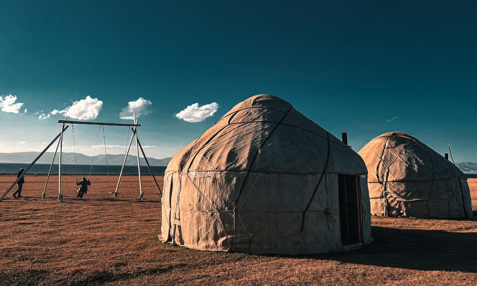 Kyrgyzstan Authors tours
 Kyrgyzstan Authors tours
 Kyrgyzstan Authors tours
 Kyrgyzstan Authors tours
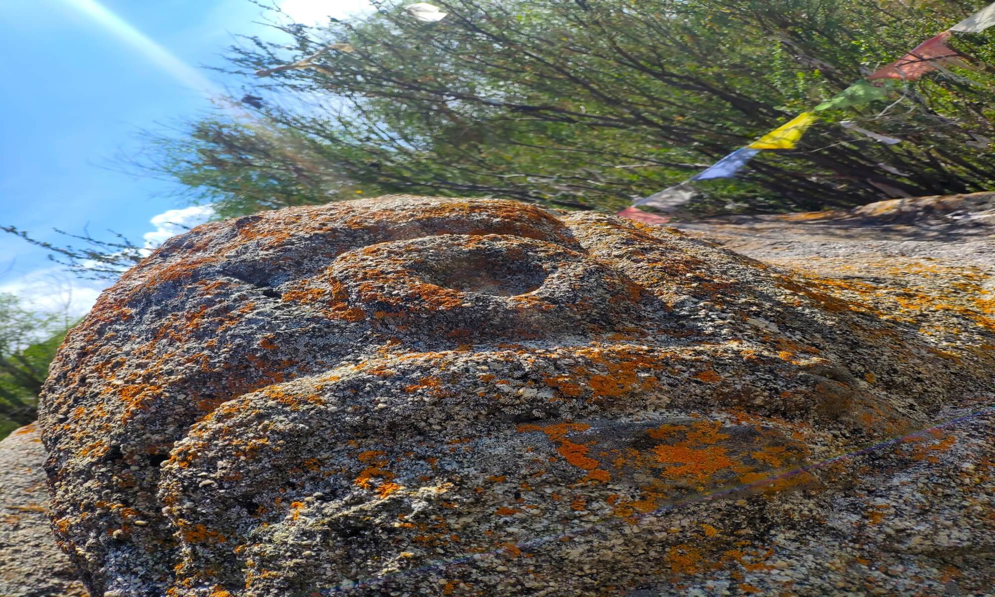 Kyrgyzstan Authors tours
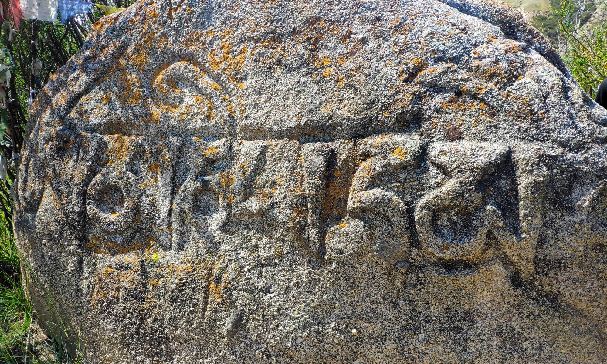 Kyrgyzstan Authors tours
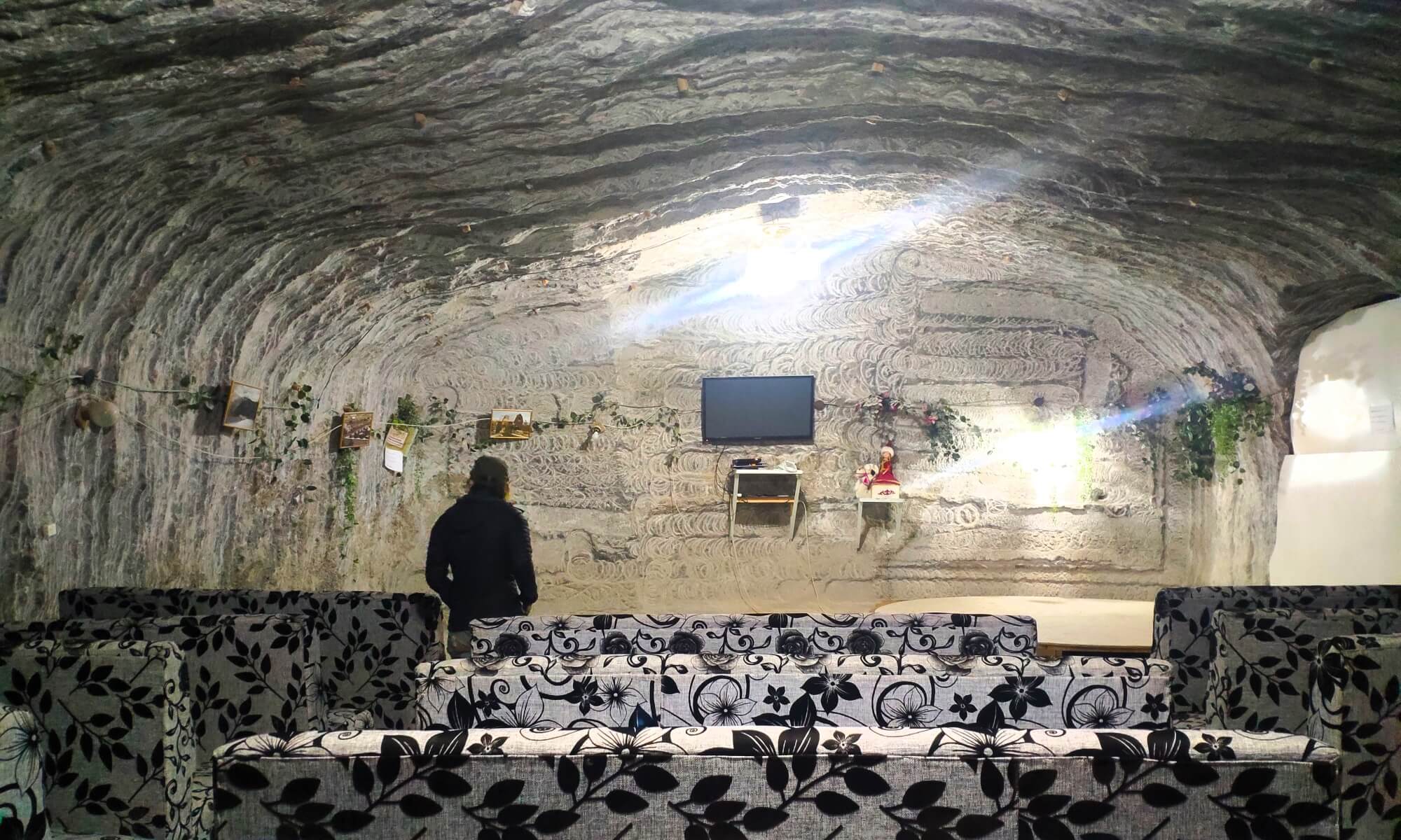 Kyrgyzstan Authors tours
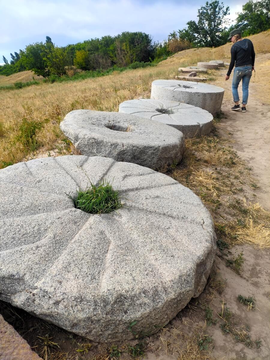 Kyrgyzstan Authors tours
 Kyrgyzstan Authors tours
 Kyrgyzstan Authors tours
 Kyrgyzstan Authors tours
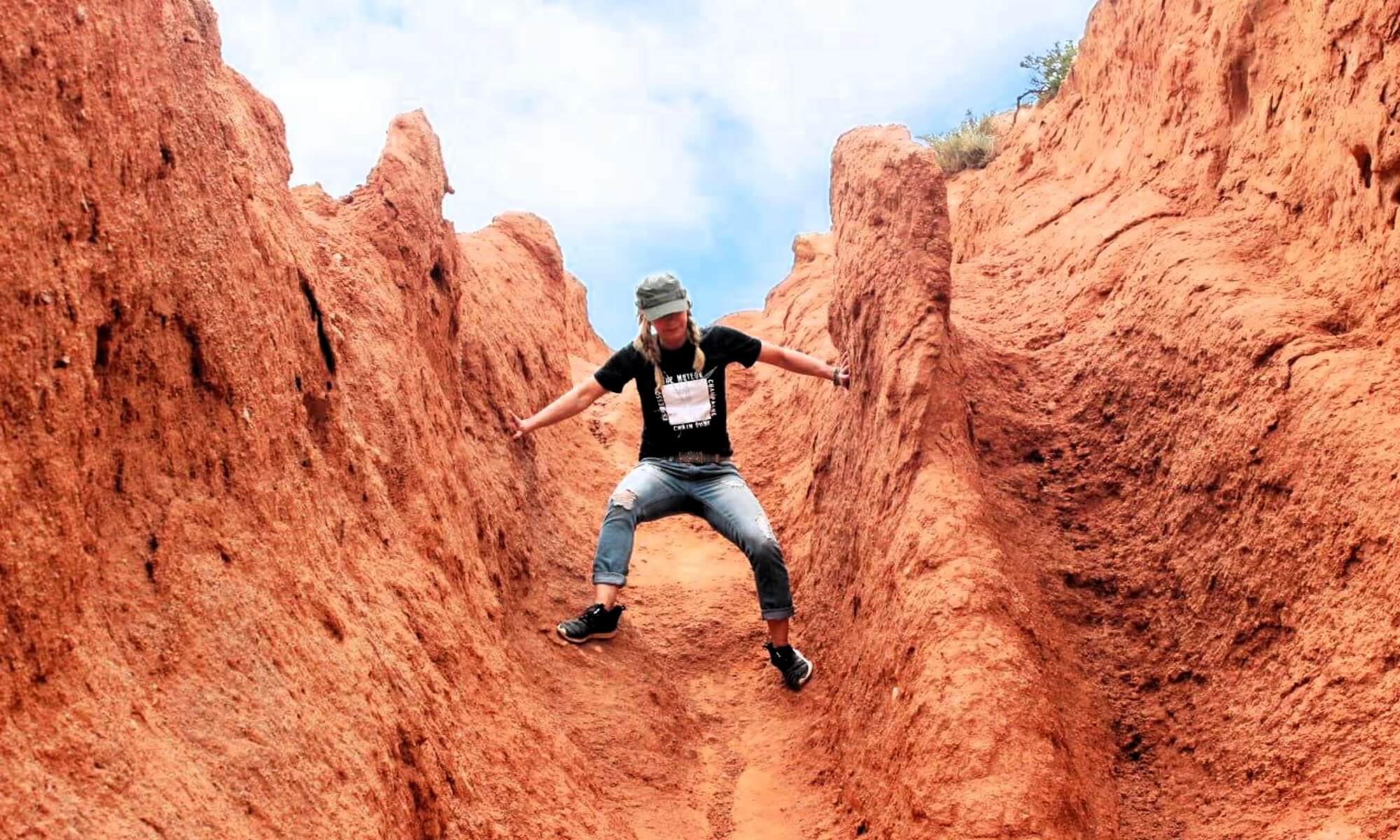 Kyrgyzstan Authors tours
 Kyrgyzstan Authors tours
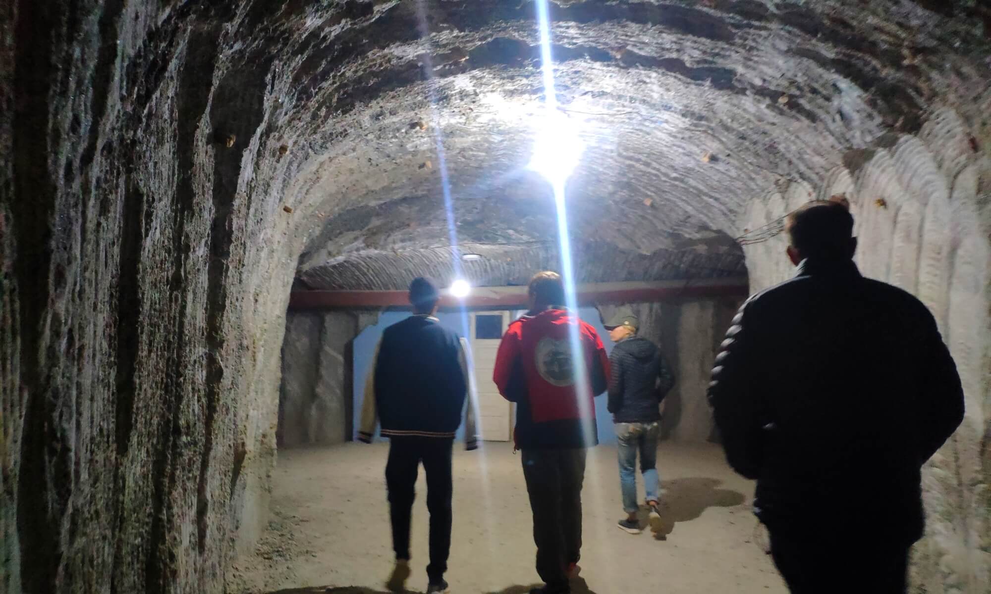 Kyrgyzstan Authors tours
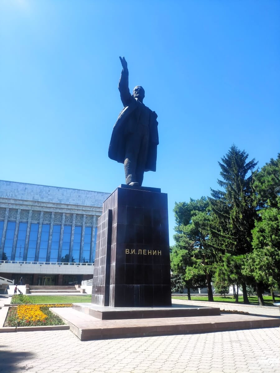 Kyrgyzstan Authors tours
 Kyrgyzstan Authors tours
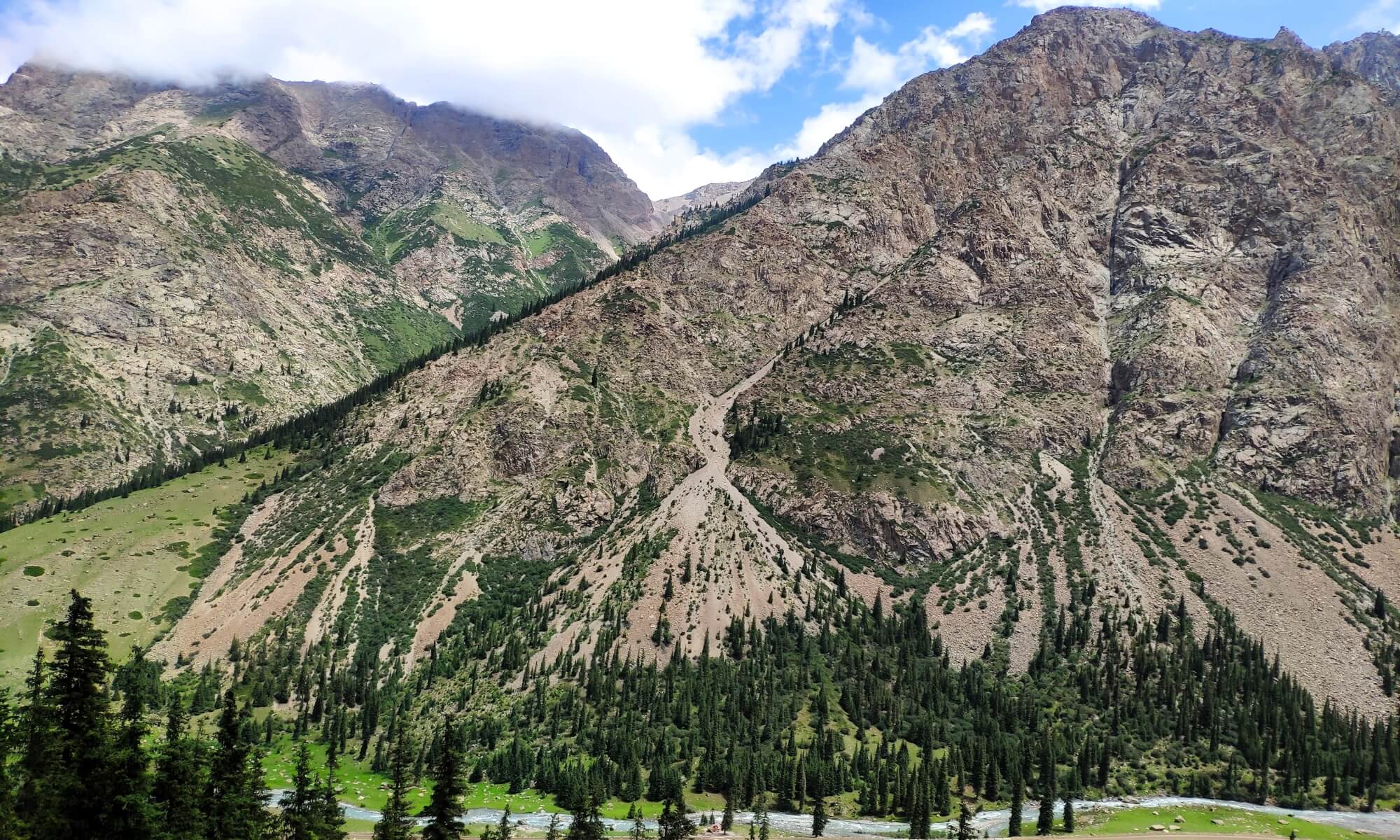 Kyrgyzstan Authors tours
 Kyrgyzstan Authors tours
 Kyrgyzstan Authors tours
 Kyrgyzstan Authors tours
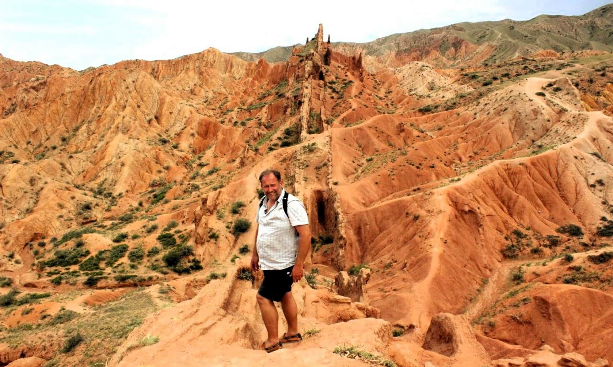 Kyrgyzstan Authors tours
 Kyrgyzstan Authors tours
 Kyrgyzstan Authors tours
 Kyrgyzstan Authors tours
 Kyrgyzstan Authors tours
 Kyrgyzstan Authors tours
 Kyrgyzstan Authors tours
 Kyrgyzstan Authors tours
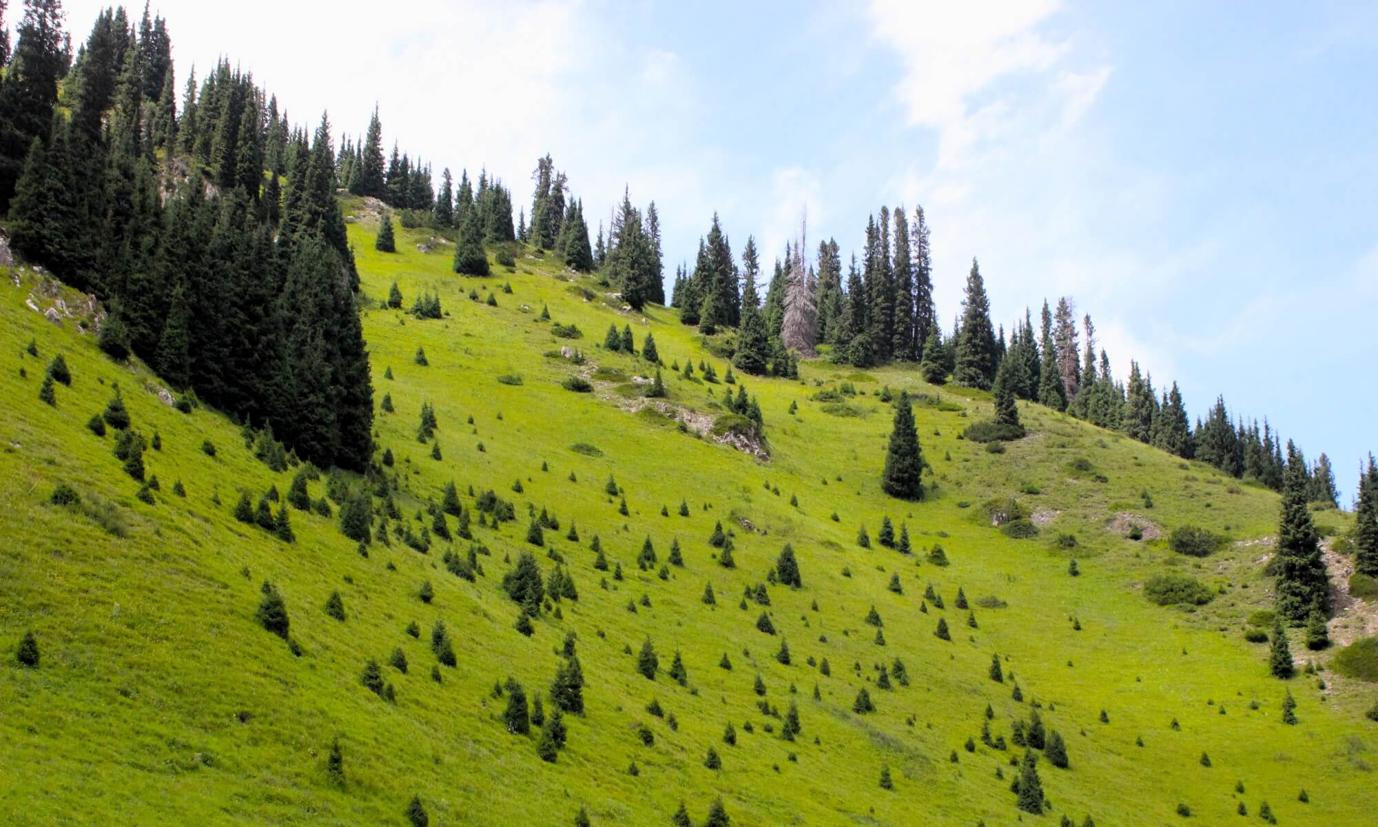 Kyrgyzstan Authors tours
 Kyrgyzstan Authors tours
 Kyrgyzstan Authors tours
 Kyrgyzstan Authors tours
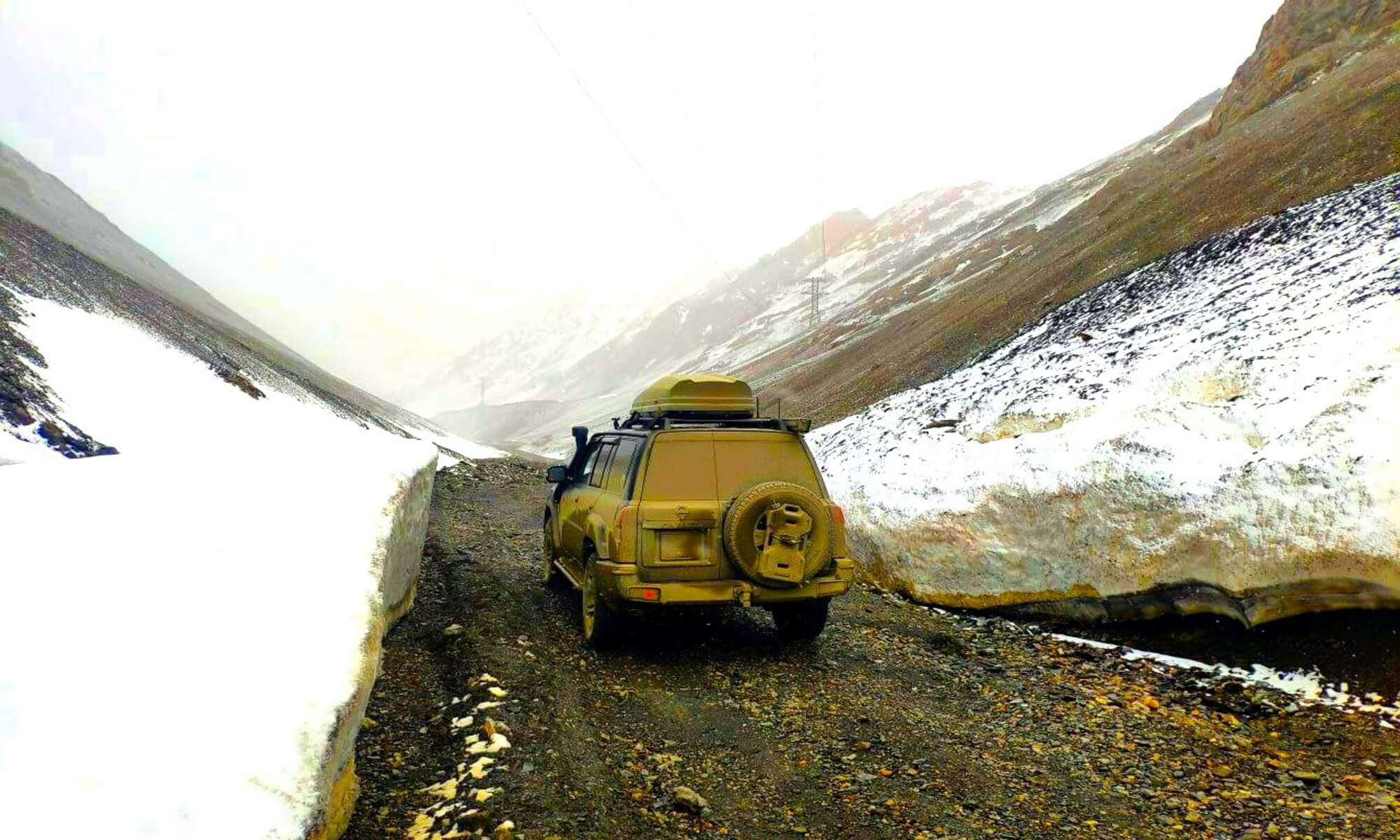 Kyrgyzstan Authors tours
 Kyrgyzstan Authors tours
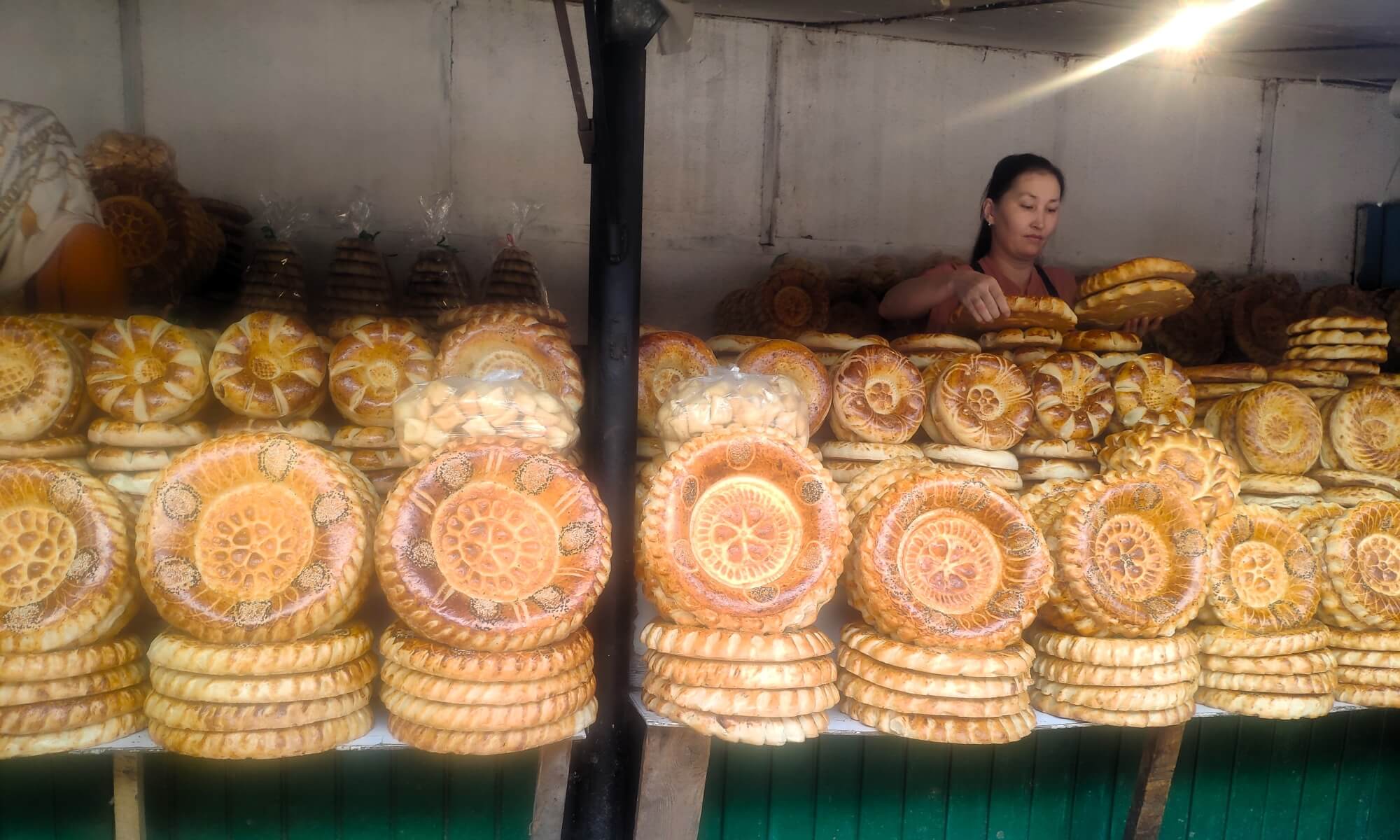 Kyrgyzstan Authors tours
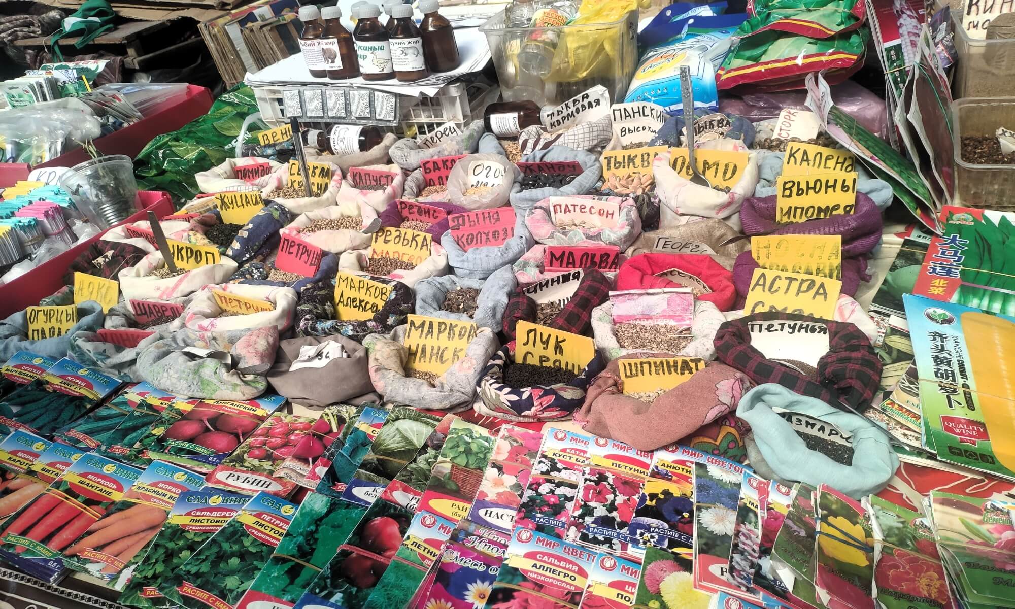 Kyrgyzstan Authors tours
 Kyrgyzstan Authors tours
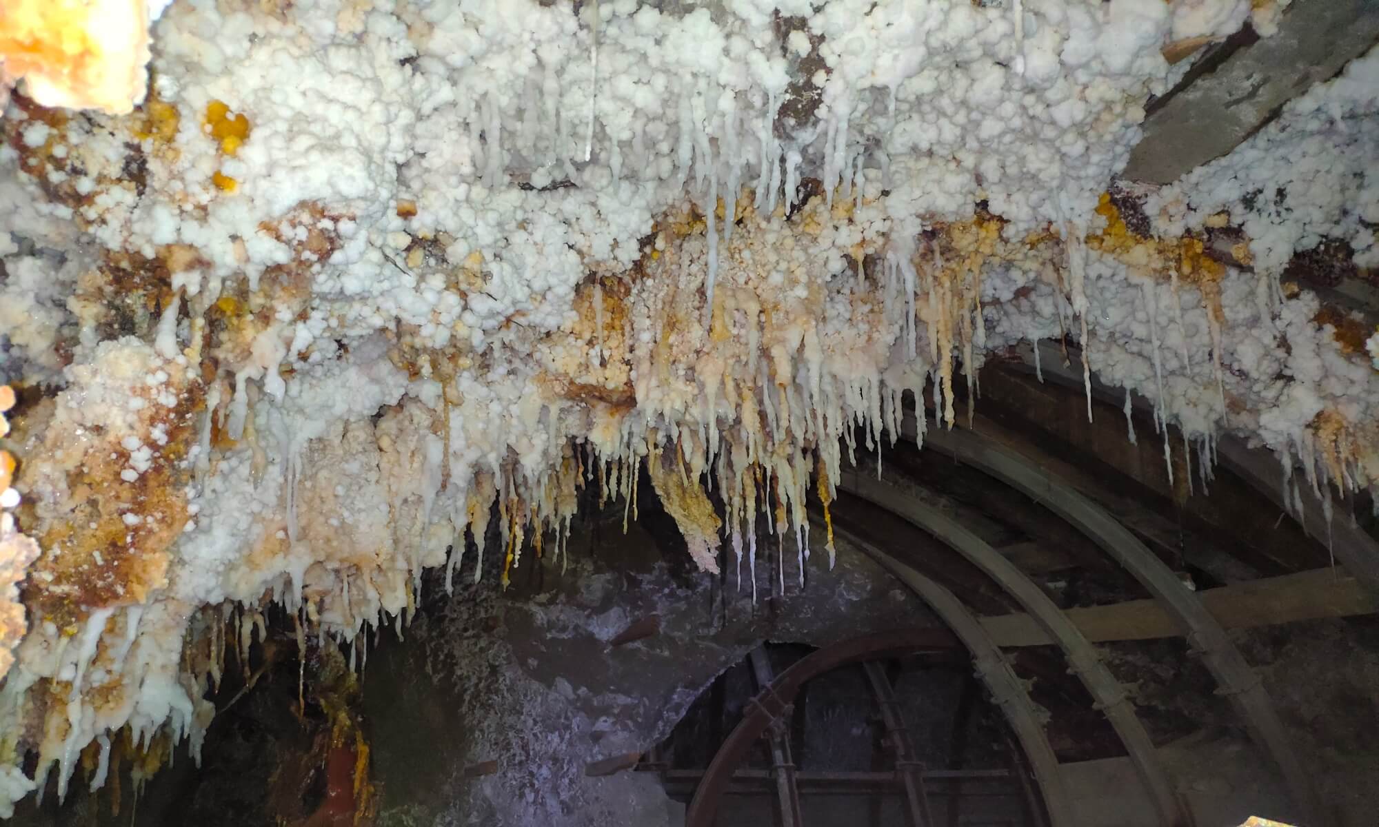 Kyrgyzstan Authors tours
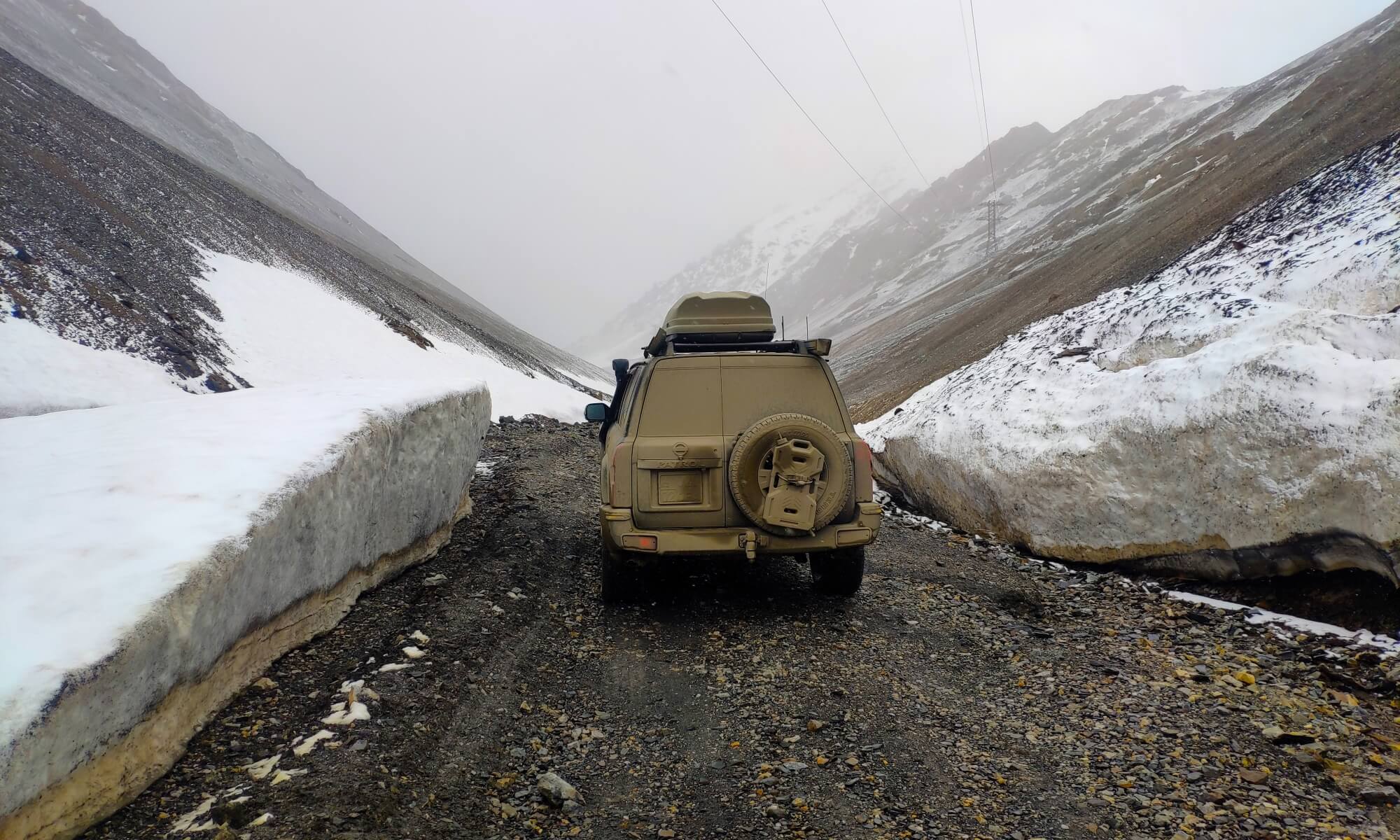 Kyrgyzstan Authors tours
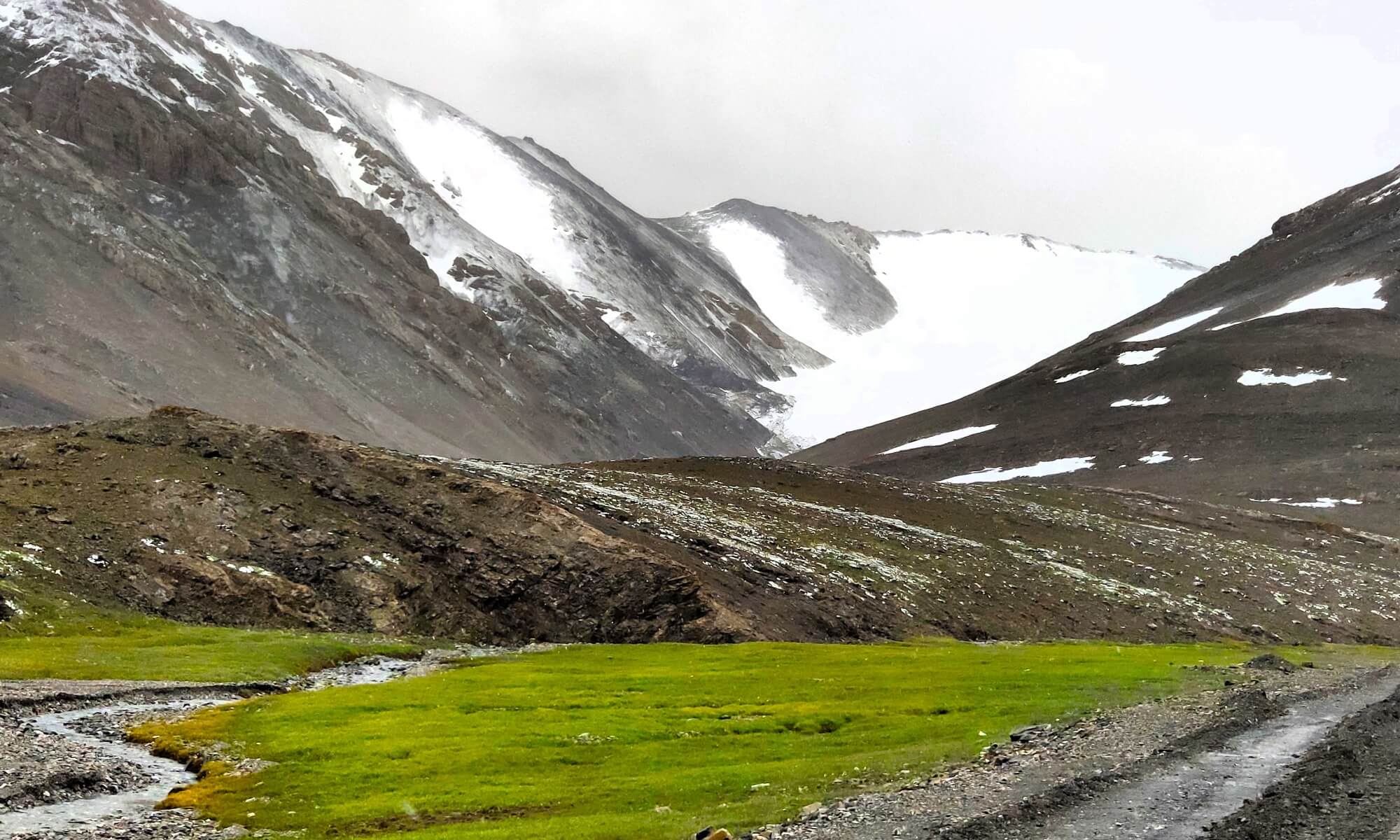 Kyrgyzstan Authors tours
Tour and Excursion in Kyrgyzstan
Kyrgyzstan is a mountainous country in Central Asia. It is located along the Great Silk Road, the ancient trade route between China and the Mediterranean. The Tien Shan Mountains, which surround this caravan route and occupy most of the country, are home to snow leopards, lynxes, and sheep. In the south of the country there is the city of Osh, whose history goes back more than a thousand years. It is famous for its huge bazaar, where merchants along the Great Silk Road once stopped.

Kyrgyzstan is a small country that is very rich not in the standard of living, not in the amount of minerals, but in natural attractions. More than three-quarters of the country's territory is occupied by high mountains with their beautiful valleys and lakes. Although Kyrgyzstan is a small country, it will take at least two weeks to travel around all its attractions.
Bishkek city
Bishkek is the capital of Kyrgyzstan, but the city has never been the center of tourist attention. The city is home to more than a million residents, but today it is more of a transit point on the way to other interesting places in Kyrgyzstan than a destination for a vacation. However, a full-fledged city tour of the city will appeal to connoisseurs of Soviet life and architecture, as well as tourists who would like to visit a real oriental bazaar.

Lake Issyk-Kul
 The lake is located at an altitude of about 1600 meters above sea level and is one of the deepest and largest endorheic lakes in the world. The maximum depth is 668 meters (which is higher than the Shanghai Tower), which became the reason for the location of a testing base for submarines on the lake during Soviet times. The lake and its surroundings were included in the global network of biosphere reserves in 2001. There are many legends associated with the lake. One of them says that near the northern shore there is a flooded Armenian monastery, where the relics of the Apostle Matthew are located. For example, on the so-called Catalan map of the world, dated 1375, on the northern shore of Lake Issyk-Kul there is a building with a cross, and next to it there is an inscription: “A place called Issyk-Kul. In this place is the monastery of the Armenian brothers, where the body of St. Matthew, the Apostle and Evangelist resides.”
Santash Pass The Great Emir Timur also appeared on the banks of Issyk-Kul at least three times - in 1376, 1389 and 1392. Many legends are also associated with this fact. Legends say that while setting out on his next campaign, Tamerlane came to the shores of Issyk-Kul. And Tamerlane ordered his soldiers to take each a stone and throw them into one pile. And a high mountain was formed from those stones. When the troops were returning from the campaign, he wanted to know how many soldiers he had left. Tamerlane ordered the remaining soldiers to take a stone each from the first pile and place the second one next to it and was saddened, because the second mountain turned out to be much smaller than the first, but the stone pile and the name Santash (“counting stones”) remained - this is the name of the pass a little east of Issyk-Kul.
Karakol city
Karakol (formerly the city of Przhevalsk) attracts hikers, travelers and climbers with its picturesque mountain landscapes. From Karakol to the west along the southern shore of Issyk-Kul, 30 km away are the resorts Jety-Oguz (“Seven Bulls”) and Zhyluu-Suu (“Warm Water”). To the east, 10 km is the climatic and mud resort of Jergalan, and 50 km in the spurs of the Tien Shan is the Merzbacher glacial lake. From there, trekking to the Khan Tengri MAL. In the Karakol gorge of the Terskey-Alatau ridge, 7 km from the city, among majestic coniferous forests, there is the Karakol ski base with five (4 chairlifts) lifts (elevation difference from 2300 to 3450 meters). In Soviet times, it was used for training of the Olympic team. From the panoramic peak 3040 m above sea level, where the lift goes, there are beautiful views of the high-mountain lake Issyk-Kul and the nearest five-thousanders (the highest peak on the ridge Karakol - 5281 m and the pointed peak Dzhigit - 5173 m).
Zhety-Oguz gorge

The Zhety-Oguz gorge is located on the northern coast of Issyk-Kul, 20 kilometers from Karakol. The name of the gorge is translated from the Kyrgyz language as “seven oxen”. It is covered with lush vegetation and received its unusual name from the monumental ridge of red rocks “Seven Oxen”. The rocks are depicted on Soviet postage stamps issued in 1968. In the gorge at an altitude of 2200 m near the ridge there is the Zhety-Oguz resort, famous for its healing geothermal springs. Another notable rock is the famous Broken Heart, a place of real pilgrimage for lovers. Also in the gorge is the famous “Maiden Tears” waterfall, which is located at an altitude of 2400 meters above sea level.
Barskaun Gorge

The Barskaun Gorge is located on the southern coast of Lake Issyk-Kul in the floodplain of the river of the same name. The length of the gorge is about 10 km. The gorge is famous for its waterfalls. One of the most famous is “Tears of a Leopard”. In addition to the “Tears of a Leopard” waterfall, three more are notable: “Aksakal’s Beard”, “Splash of Champagne” and “Chalice of Manas”. The latter, according to legend, was formed after Manas scooped up water with his hand, and this left a bowl in the rock. In the middle part of the gorge there is a monument to the first cosmonaut Yu. A. Gagarin, who loved this place very much and rested in the nearby Tamga military sanatorium. A highway passes through Barskaun to the Kumtor Pass (4000 m), where at the Kumtor mine the Canadian gold mining company Centerra Gold (Kyrgyzstan owns 33% of the shares of this company) represented by the Kumtor Operating Company extracts gold (100 tons in 2002 worth 1 billion USD).
Tamga Gorge
Tamga Gorge is located on the southern coast of Lake Issyk-Kul, 2 km south of the village of Tamga. The name of the village and the gorge comes from the Turkic word “tamga”, which means “seal” or “stamp”. This area is famous for its Tamga-tash stones, on which Tibetan inscriptions are carved. As it turned out, the inscriptions on the stones are Buddhist prayers dating back to the 8th–9th centuries. On two stones located on the left bank you can read the famous Buddhist inscription “Om Mani Padme Hum”, which means “Oh, you treasure on the lotus” or “May the sacred lotus flower abide!” Among Buddhists, this is a common mantra symbolizing enlightenment and awakening. There is a legend that the hero-batyr, famous in folklore, split the first Tamga-tash with a saber and inscribed on it the number of trophies obtained. However, scientists believe that this is the legacy of the Tibetans who lived here in the early Middle Ages. The stones are revered by Buddhists all over the world as sacred, and the Tamga Gorge is a place of pilgrimage and is very popular among tourists.
Fairytale canyon

The canyon, created over centuries because of erosion, got its name due to the unusual shapes of the rocks that resemble fairy-tale characters and animals. For example, rocks look like castles, mushrooms, animals and other fantastic creatures. The canyon is about 2 km long and the height of the walls is up to 100 meters. In addition to the unusual shapes of the rocks, Fairytale Canyon is also known for its colorful hues. Various colors can be seen on the canyon walls: red, orange, yellow, green and white. Fairytale is a popular destination for tourists who come here to enjoy the unique nature and take photographs against the backdrop of unusual rocks. Here you can also walk along a special trail and enjoy beautiful views of the surrounding mountains and the valley of the Dzheti-Oguz River..
Son-Kul Lake and 33 Parrots Pass

Son-Kul is a lake with rich tourism potential, located at an altitude of 3013 meters above sea level. It is remarkable for its untouched beauty and impressive size: the water surface area is 278 km². Such parameters make it the second largest reservoir in Kyrgyzstan - second only to the famous Issyk-Kul. But in terms of freshwatereserves, the reservoir has no equal in the entire country. It is still unclear exactly what Kyrgyz words the name of the reservoir came from. One version says that it is translated as “the last lake.” The second is “a lake where wild ducks live.” Among the Kyrgyz variants there are also Song-Kol, Sonkel, Songkol, Sonkul. The immodest but truthful “Soul of Kyrgyzstan” has become popular among Russian-speaking tourists. Tourists coming here do not expect to live in comfortable conditions with developed infrastructure. And they do it right. After all, there are no hotels, inns, or luxury spa centers on the coast of the reservoir. You can only stay in your own tent or in one of the yurt camps. They are broken here every year. There are four roads leading to the lake, all of them are extremely interesting and picturesque, but the most interesting and exciting one goes through the “33 Parrots” pass or the official name “Teskey - Torpok” at an altitude of 3133m. It is believed that the pass got its name because of the huge number of turns on the mountain serpentine, which winds upward like a “snake”.
Chon Tuz salt mines

In Soviet times, salt was mined in the mines on an industrial scale. However, it is known that salt can cure several diseases, including allergies, neuroses and bronchial asthma. In 1980, in one of the parts of the Chon-Tuz salt mine near the village of Kochkorka, a sanatorium with 120 beds was organized. The underground premises of the sanatorium are a gallery 500 m long, 3 m high and 5 m wide. Chambers with beds extend from it; of course, there are no windows. The therapeutic effect is achieved by an increased content of salt microcrystals in the air and a reduced number of bacteria in it. The air temperature is below 10 degrees, so it is important for visitors, in addition to medical advice, to take warm clothes with them. Residents of the sanatorium live in the mine from 19:00 in the evening until 7:00 in the morning, and during the daytime the caves are open to tourists.
Grigorievskoe and Semenovskoe gorges

The top tourist spot is located on the northern shore of Issyk-Kul. Named after the Russian traveler and scientist who discovered this place in the 19th century. Before that, local residents called it Kyrchyn. The gorge stretches for as much as 30 km, with many tourist routes running along it. Most of them are one-day, but there are also complex ones. The Grigorievskoye Gorge borders Semenovsky. Locals call it Chon Ak-Suu. It is located on the Kungey-Ala-Too ridge near the village of Grigoryevka. The aroma of pine needles, the sound of a bubbling mountain river and the stunningly beautiful green slopes make a huge impression. Along the river there are three more small lakes with blue water and marshy banks. Dense forests periodically give way to beautiful alpine meadows. In the middle part of the valley there are two snow-capped peaks - Kum-Bel and Eshenbulak
Petroglyphs of Cholpon Ata

In the mystical “stone garden,” which is considered an anomalous zone, you can take a walk in Issyk-Kul near the resort town of Cholpon-Ata. There is an open-air museum here, where, on an area of 42 hectares, there are tens of thousands of large and small stones decorated with ancient petroglyphs. Several thousand years ago, there was a gigantic temple on this site, where deities and heavenly bodies were worshiped, priests performed cult rituals, and it was considered sacred for the nomadic tribes living here.
The Museum of Petroglyphs is a huge field 4 kilometers long and 0.6 to 2 km wide, located near the abandoned Cholpon-Ata airfield, and stretching to the very foot of the mountains. It is covered with many different-sized boulders brought here by mudflows from the mountain gorges of the Kungei Ala-Too ridge. The first petroglyphs appeared here more than 4,000 years ago and were created over about three thousand years in a row.
Osh city
Osh is the second most populous city in Kyrgyzstan after Bishkek, the largest city in the south of the country, informally referred to as the “southern capital”. This is one of the most pleasant and colorful cities in Central Asia. It is located at the crossroads, once the Great Silk Road passed here. Now people of different nationalities simply live, mind their own business. Osh is a rare city of the former Empire that has changed little since Soviet times: the same buildings, the same mosaics, parks, bazaars. Among the local diversity there are attractions that have long received the status of calling cards of the city, for example Mount Suleiman-Too. The five-domed beauty mountain, visible from different parts of the city, is located in its very center. At the peak there is the famous “Takhty Suleiman” mosque, just below there are seven caves, and at the foot there is a bathhouse built in the Middle Ages. The Sulaiman-Too complex is the country's first attraction included in the UNESCO World Heritage List.