


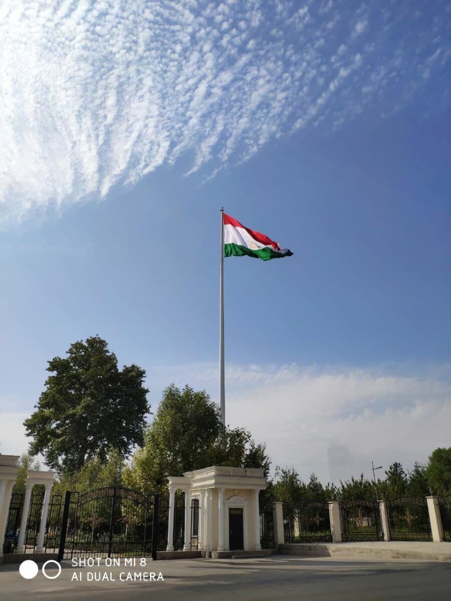

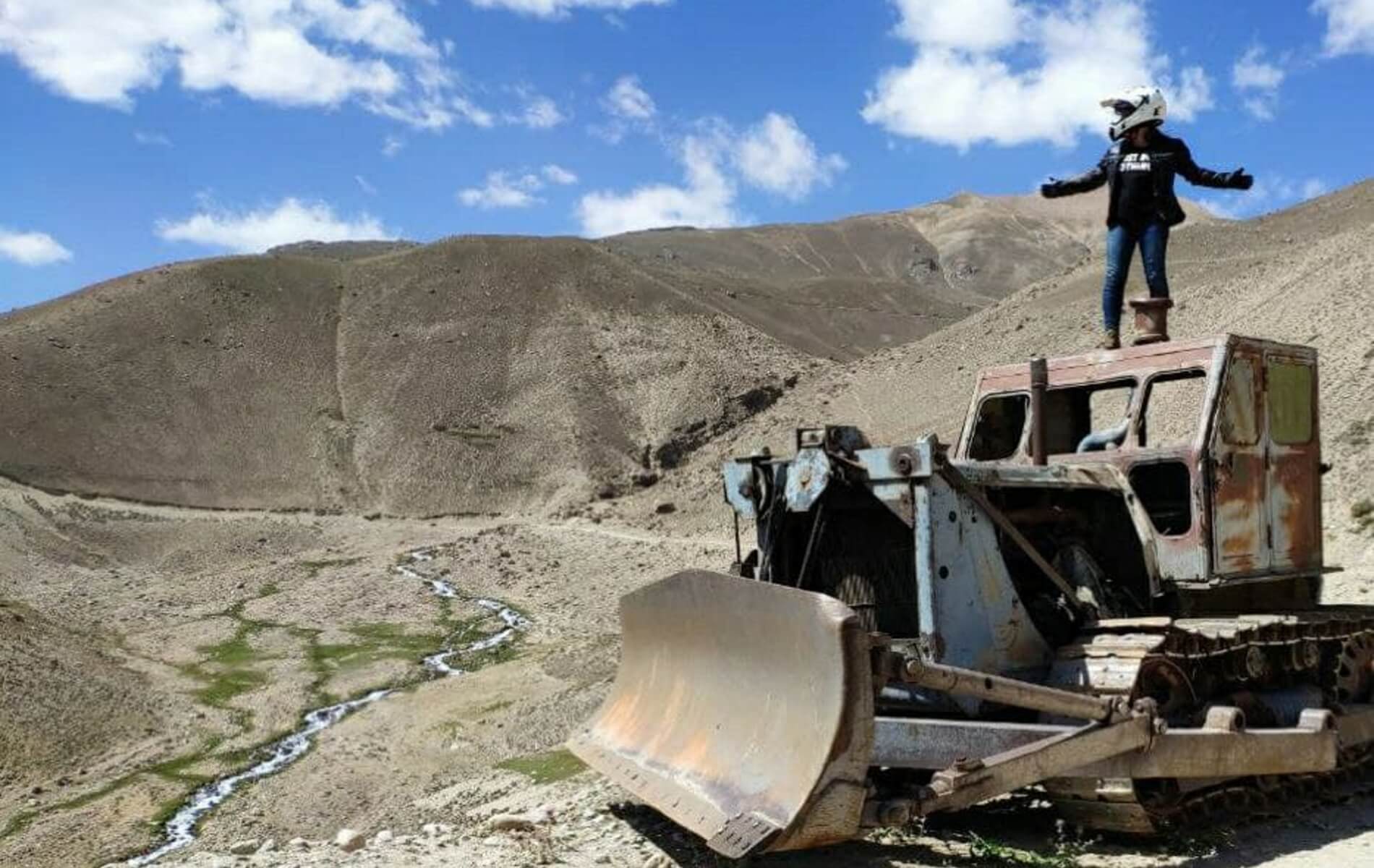
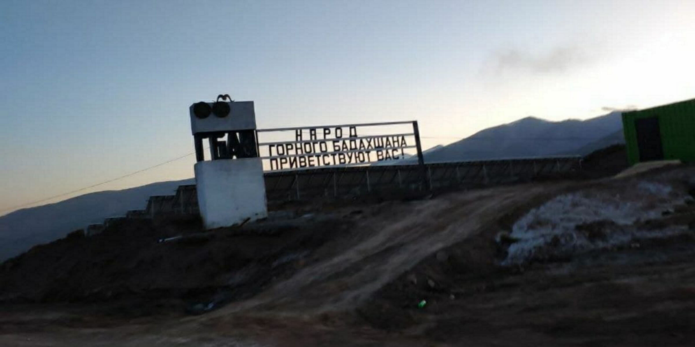


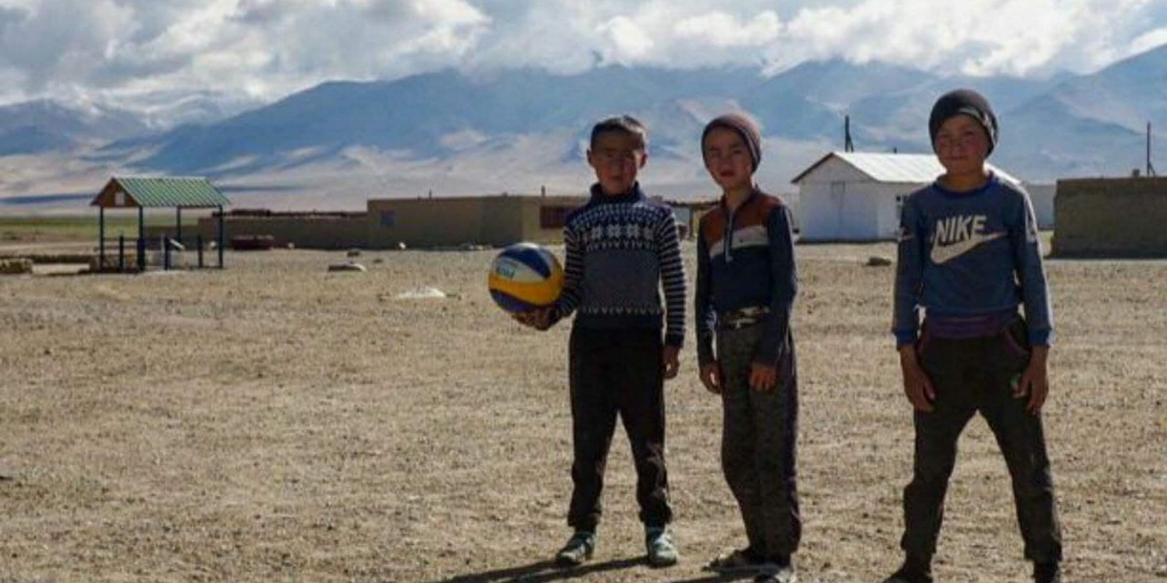
TAJIKISTAN AND THE PAMIR HIGHWAY
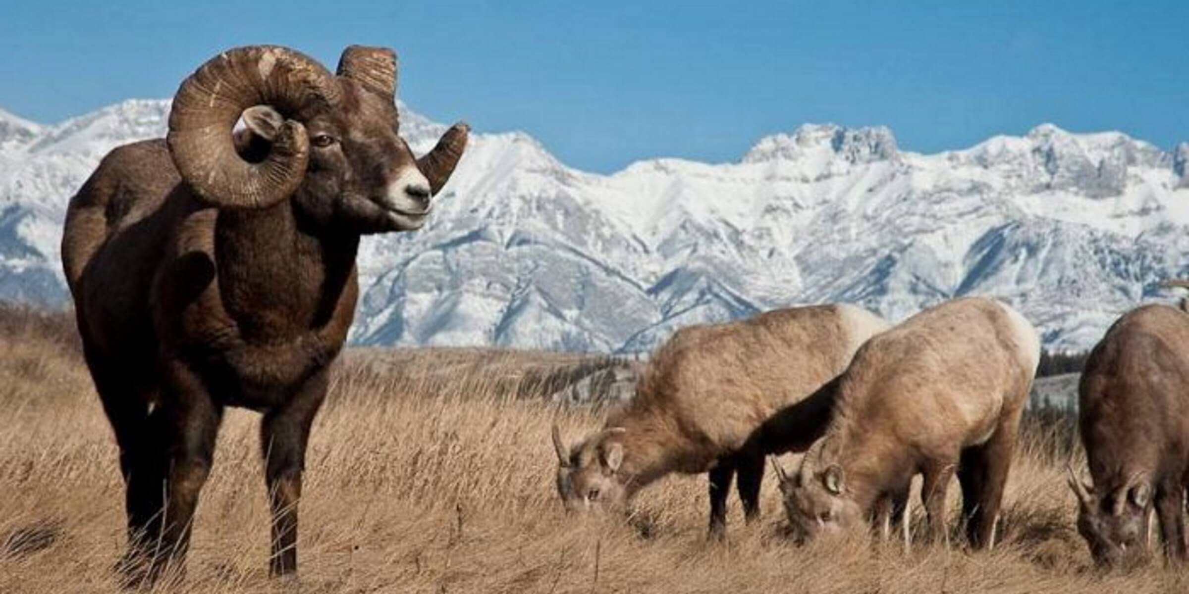
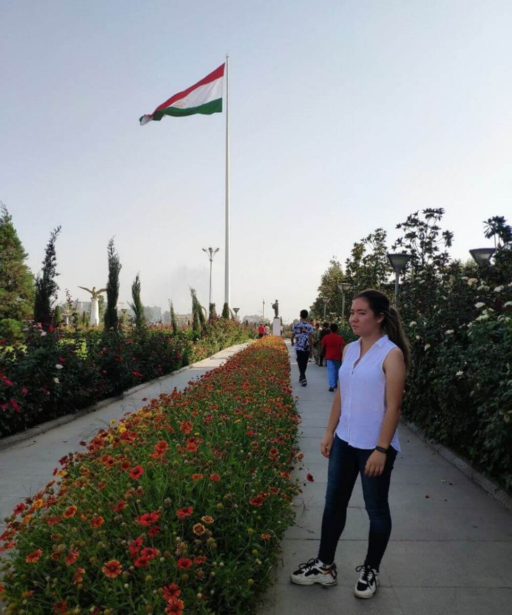
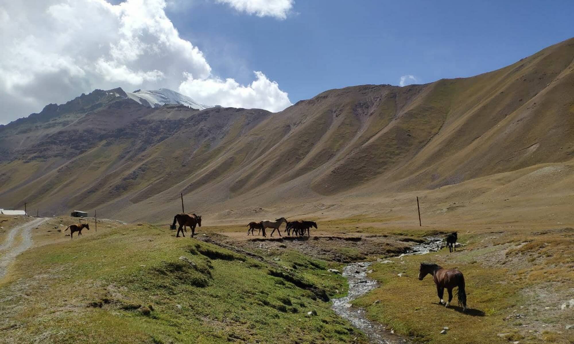
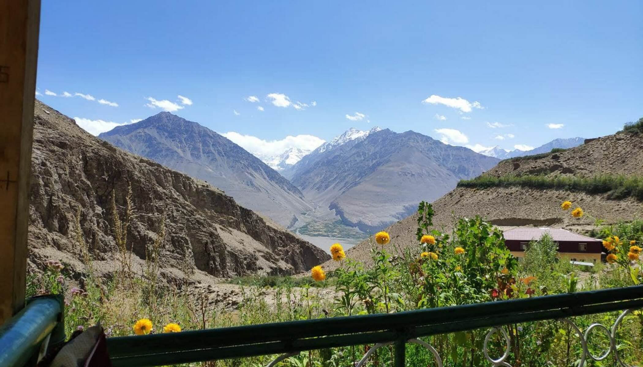
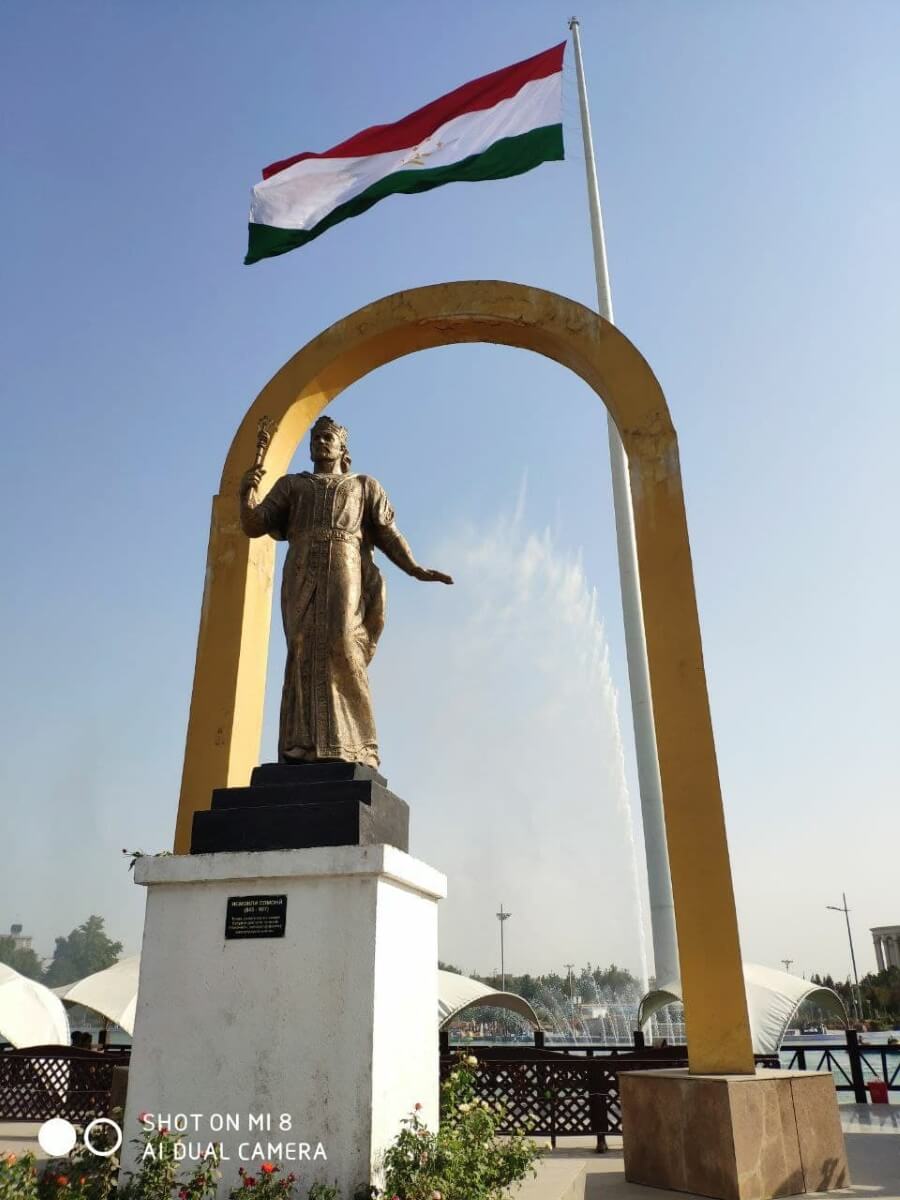
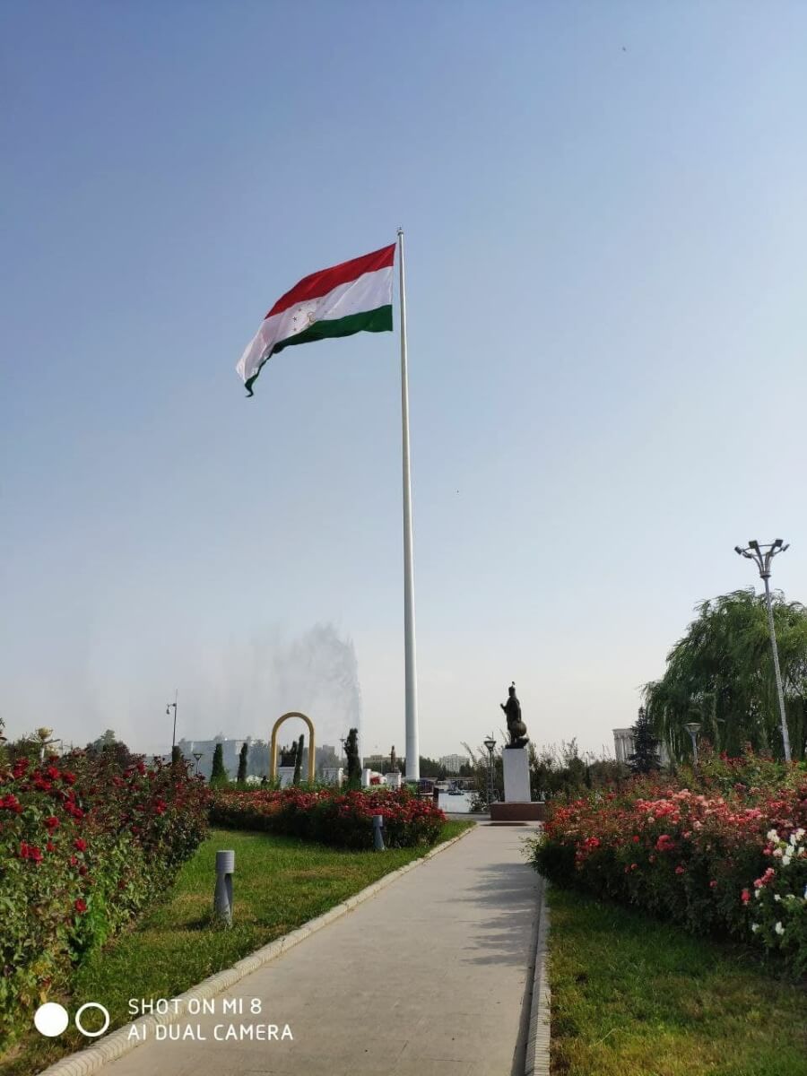
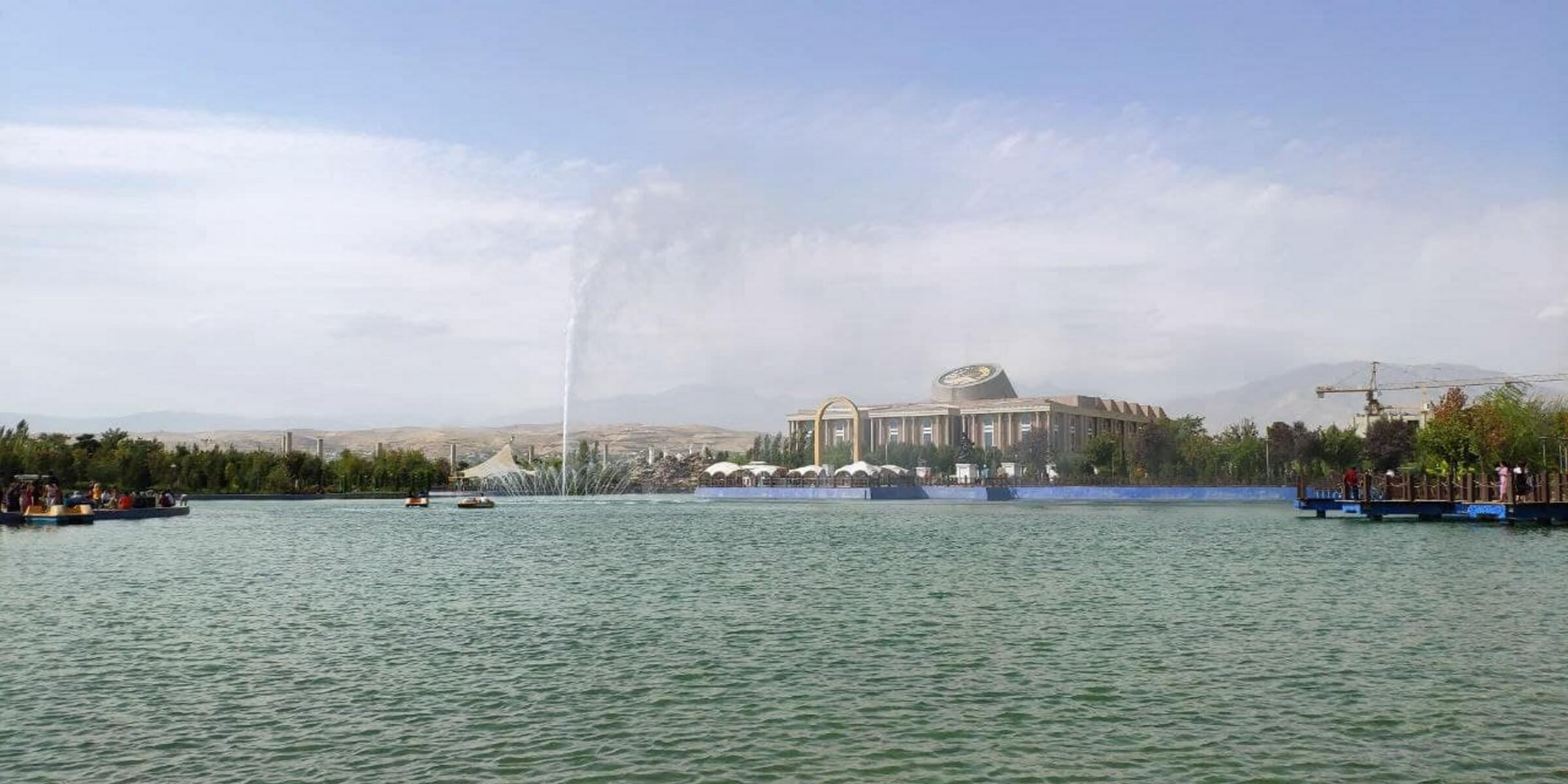
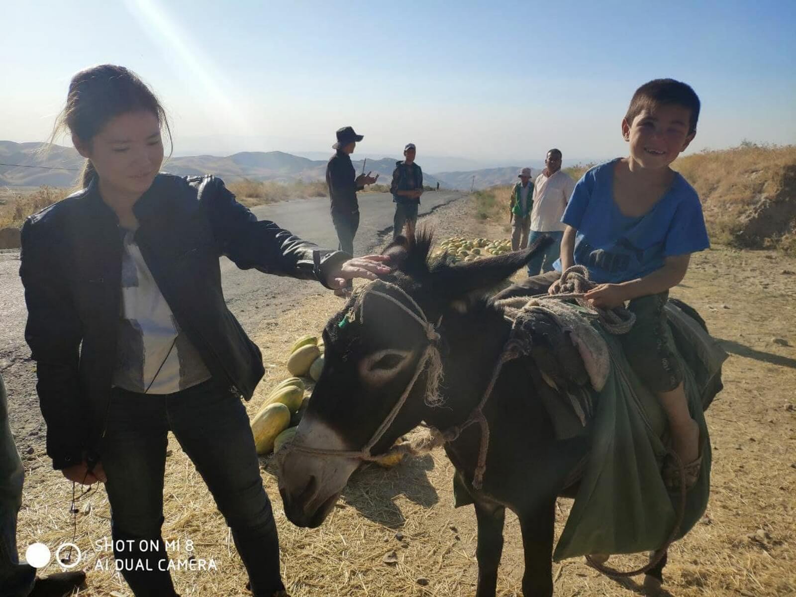
The Republic of Tajikistan is the smallest country in Central Asia, the capital of which is the city of Dushanbe. Tajikistan is the only Persian-speaking country in the former USSR. If the Kazakh, Uzbek, and Kyrgyz languages are similar to each other, then Tajik is radically different from them. The republic has an area of 141,400 km², which is approximately the size of England in the United Kingdom. However, Tajikistan is a mountainous country; mountains make up as much as 93% of the territory of the republic. The country is very rich in minerals, but their extraction is greatly complicated by the mountainous terrain and, therefore, poorly developed infrastructure. Tajikistan is located far from Eurasian transport routes. The entire life of residents of the Gorno-Badakhshan Autonomous Okrug (eastern Tajikistan) entirely depends on the Pamir Highway transport artery (M41 highway). Nowadays, people from all over the world travel to the harsh mountain conditions of the Pamirs. Driving along the Pamir Highway is a kind of challenge because smooth asphalt roads, comfortable hotels and fashionable restaurants do not await you along the way. The brave traveler can expect more than 700 km of severe off-road terrain, three mountain passes over 4000 m high, as well as guest houses where Wi-Fi and hot water are a rarity. However, why do tourists go to the Pamirs? The reason is that those who have been there change their worldview once and for all. Adventurers go to the Pamirs; people in search of themselves; as well as those who want to see and feel the flavor of the local population living at an altitude of more than 3500 m. This is an area untouched by civilization. Extraordinary pristine silence, clean air and water, wild yaks and Marco Polo sheep, tall mountains... Many books have been written about the nature of the Pamirs. And those same guest houses without Wi-Fi and hot water provide an opportunity to get acquainted with the ethnocultural of the “roof of the world,” as the Pamirs are sometimes called, preserved since the Middle Ages. Despite the extreme poverty and harshness of life, the Pamiri people are surprisingly hospitable. They will always offer a place under a roof, a sheepskin blanket and hot “shir chai” - tea with goat milk, salt and butter. 1. History of the M41 highway 2. Ancient monuments 3. Nature 3.1 Thermal springs 3.2 Mountains 3.3 Lakes 4. Famous Explorers

1. History of the M41 highway:
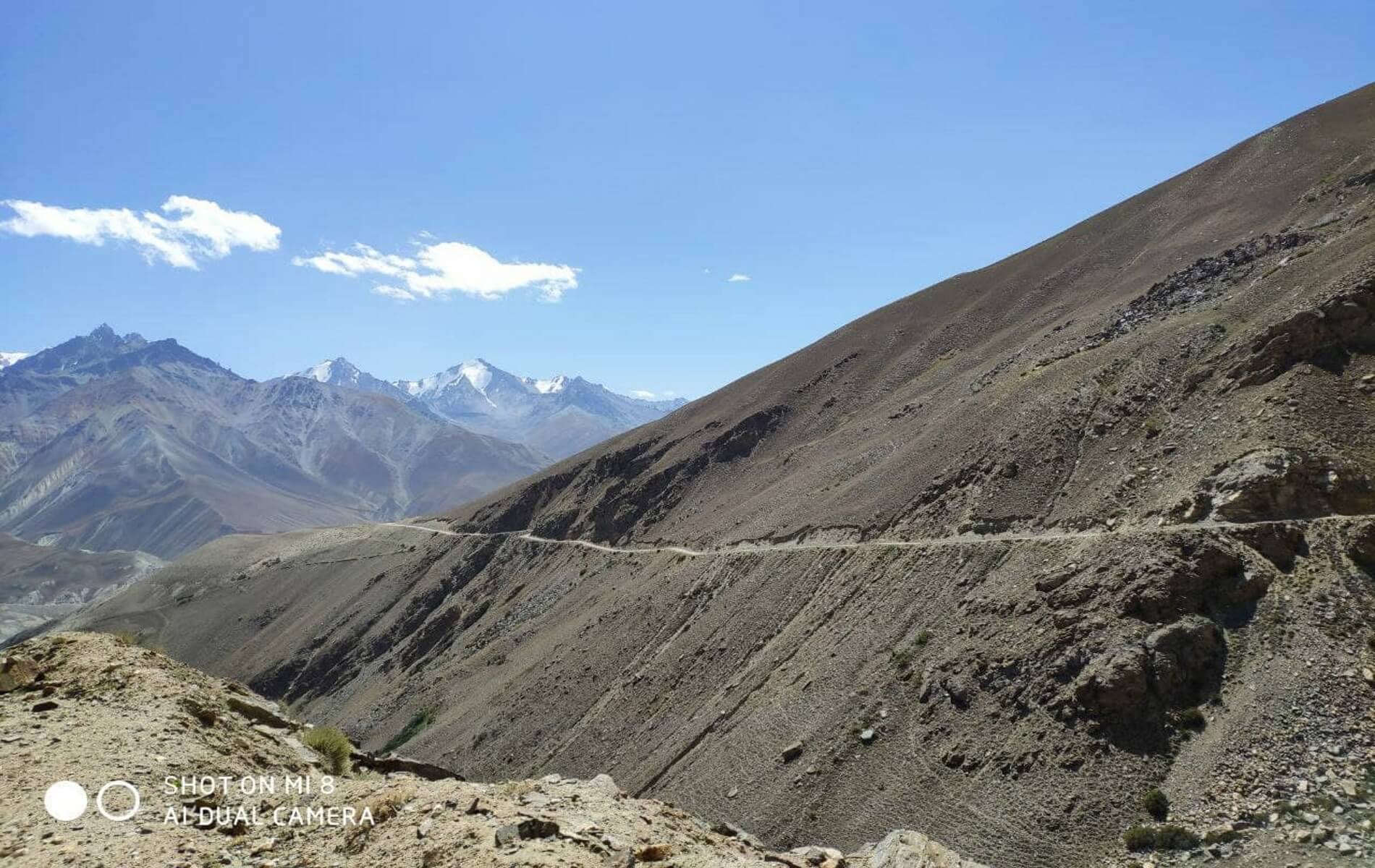
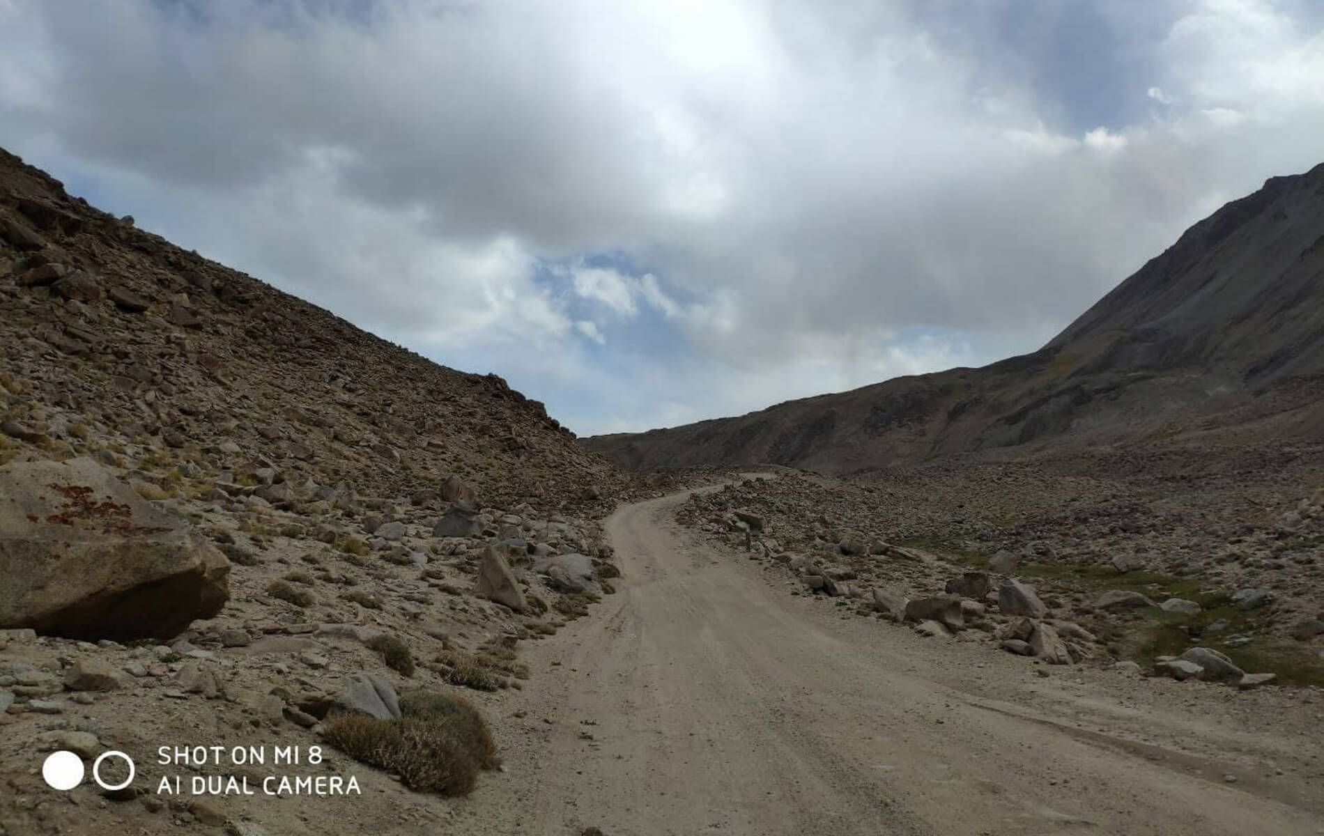
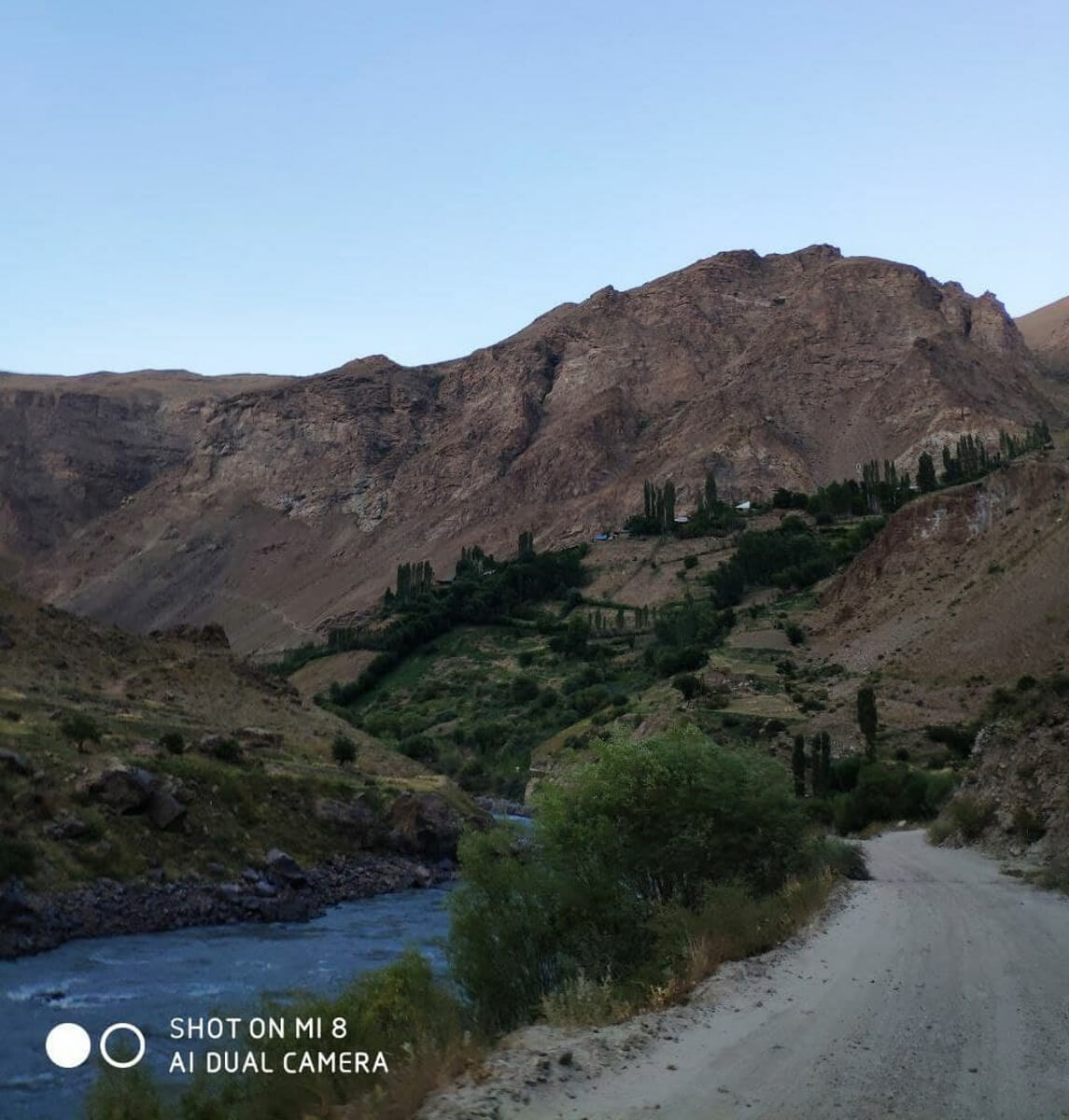
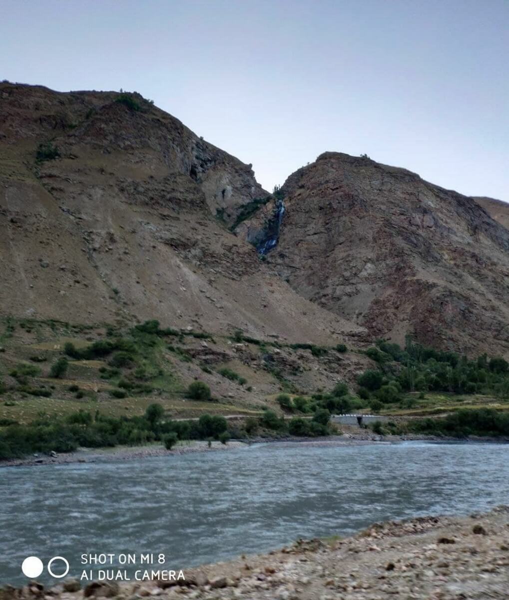
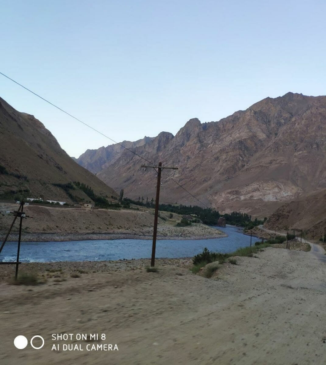
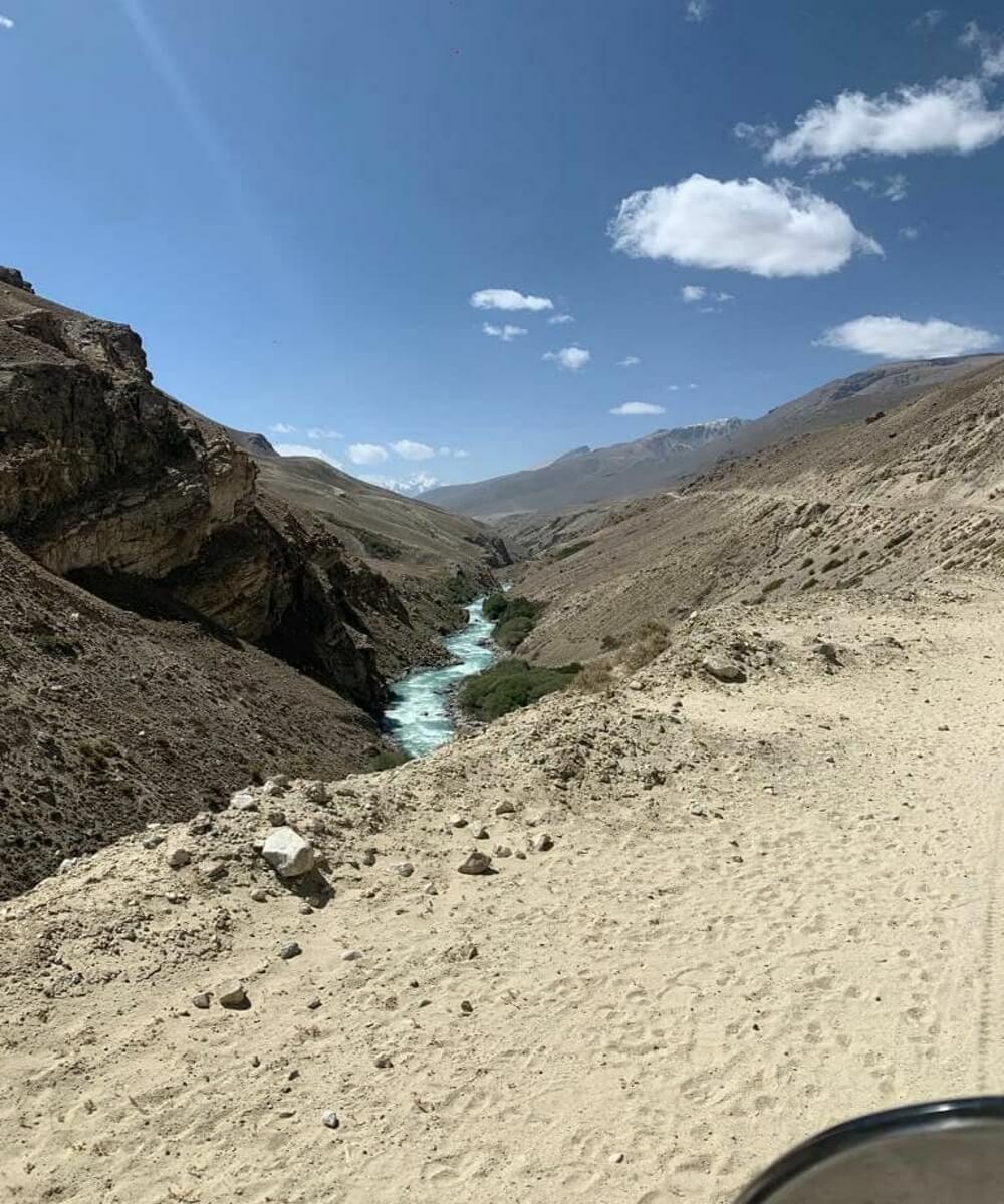
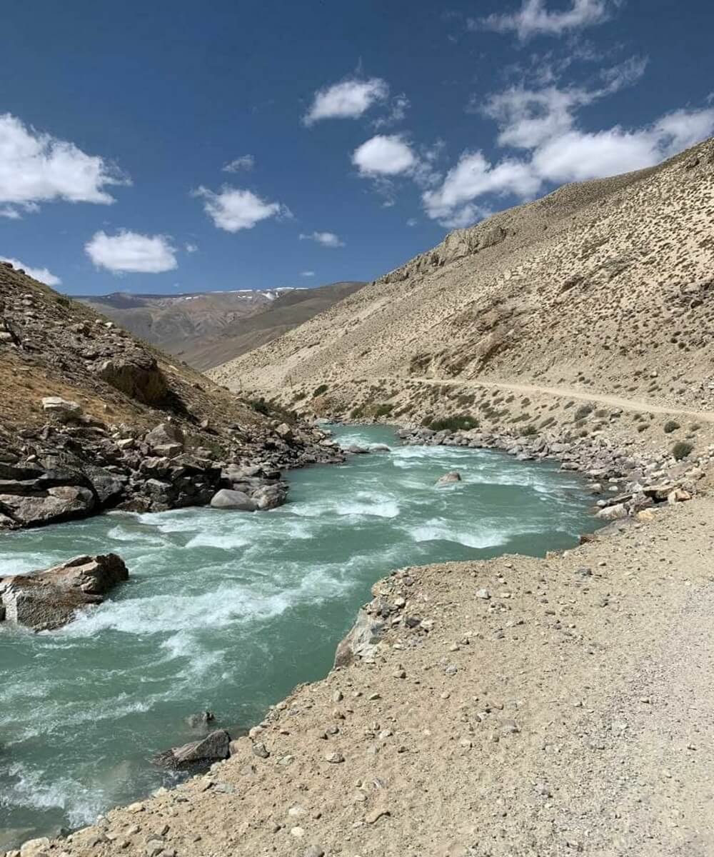
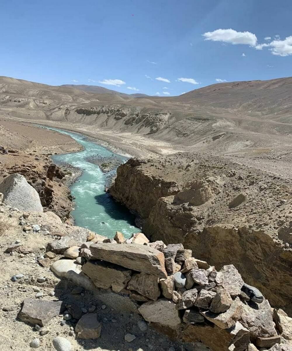
The Pamir Highway (M41) is one of the highest mountain routes in the world, with a length of more than 1000 km. The beginning of its construction is closely connected with the so-called “Great Game” between the Russian Empire and England at the turn of the 19th-20th centuries. The Russian Empire was concerned about the activity and influence of the British in the Pamirs, which played a strategically important role in the colonization of Central Asia. In 1876, the Russian army secretly built a military road along which it was possible to quickly transfer troops from the Fergana to the Alai Valley and effectively supply them. For a long time, no one suspected the existence of a wheeled road through the Alai Range.

The Alai Valley is a picturesque tectonic depression located between the Alai and Trans-Alai ranges in the south of Kyrgyzstan at altitudes of 2240 - 3536 m.
And on the remaining section of today’s Pamir Highway in those days there was only a very dangerous pack trail. Cargoes were transported in packs on horses and donkeys. Rockfalls, landslides, avalanches, waterfalls, and floods often destroyed the trail. By 1930, according to eyewitnesses, this trail was in terrible condition, even pack horses could hardly pass along it, they had to be constantly unloaded to be transferred along the overrings.
Ovring (from Tajik - narrow mountain path, abyss, cliff) - hanging wooden walkways made by hand on steep cliffs, usually in places where a mountain path could not be laid along the bank of a mountain river or go around a section of steep cliffs on top. Ovring is also the name of a path carved into the rocky wall of a canyon. Ovring was a continuation of the usual trail, but in some cases it itself was the only means of communication between mountain settlements.
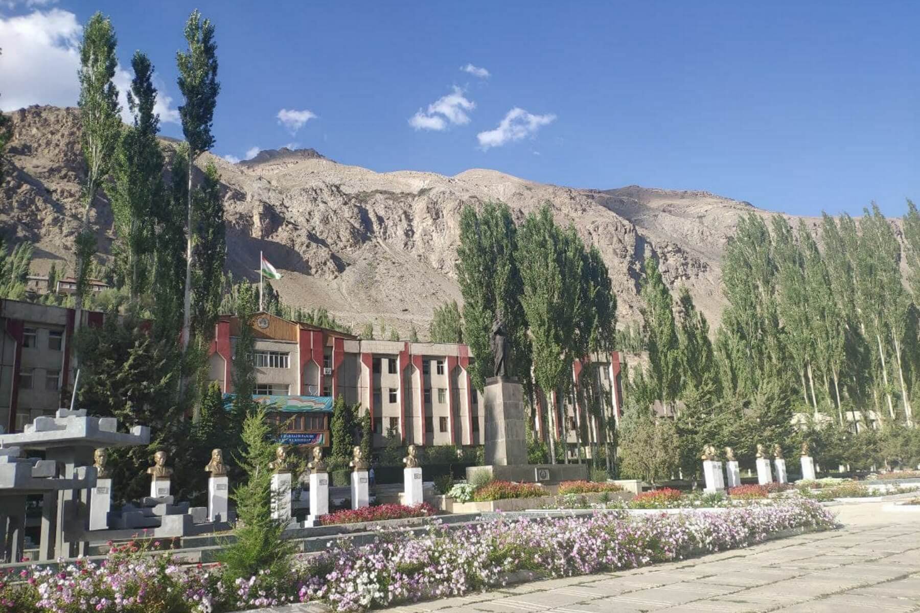
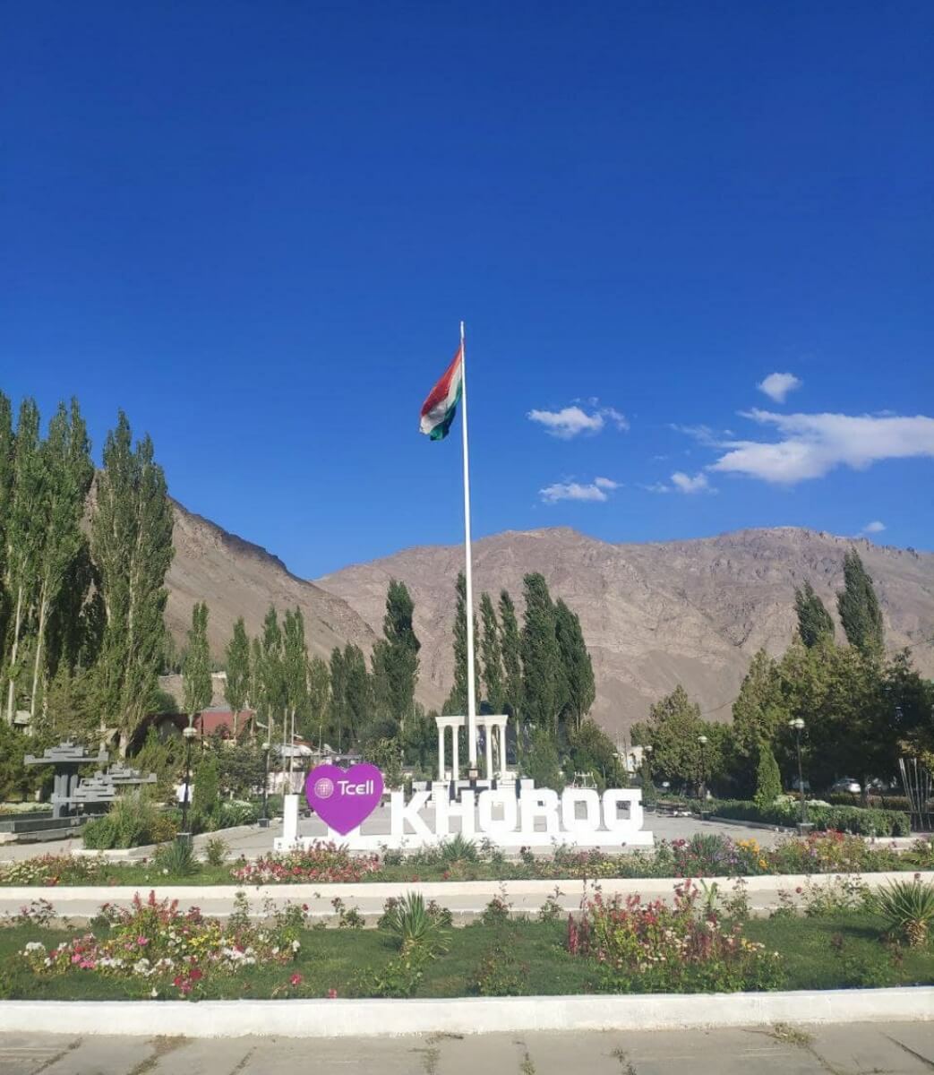
During the Soviet period of Tajikistan's history, in 1931-1934, the road was extended to the city of Khorog, the center of the Gorno-Badakhshan district. In the Soviet Union, the road was given great importance in connection with the development of the territories of the mountain Pamirs. Social cargo (food, consumer goods, fuel, etc.), military and industrial purposes were delivered along this road. Since 1940, the road was called the Pamir Highway named after Stalin. Even later, the final section was built connecting Khorog with the capital of Tajikistan, Dushanbe.
2. Ancient monuments:
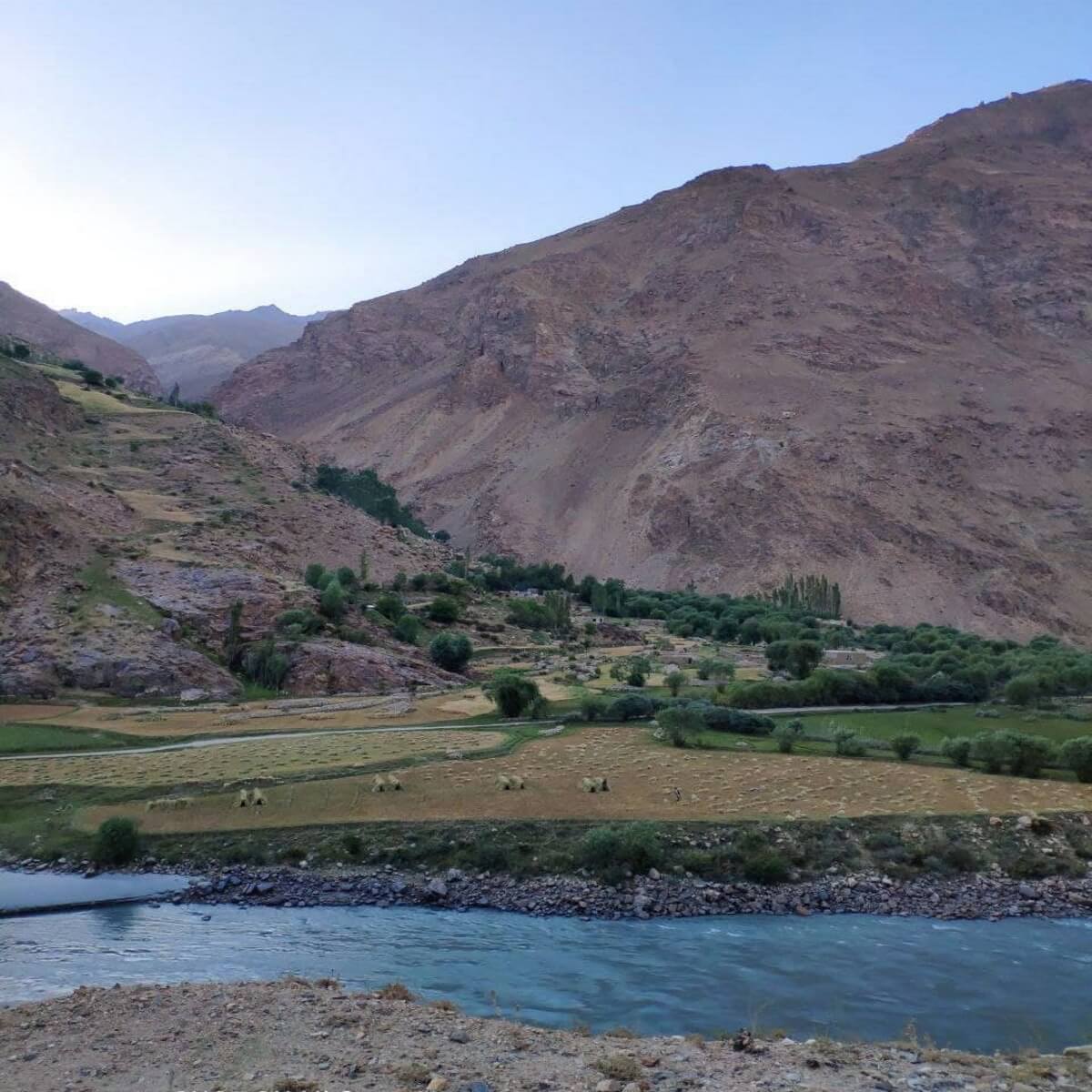
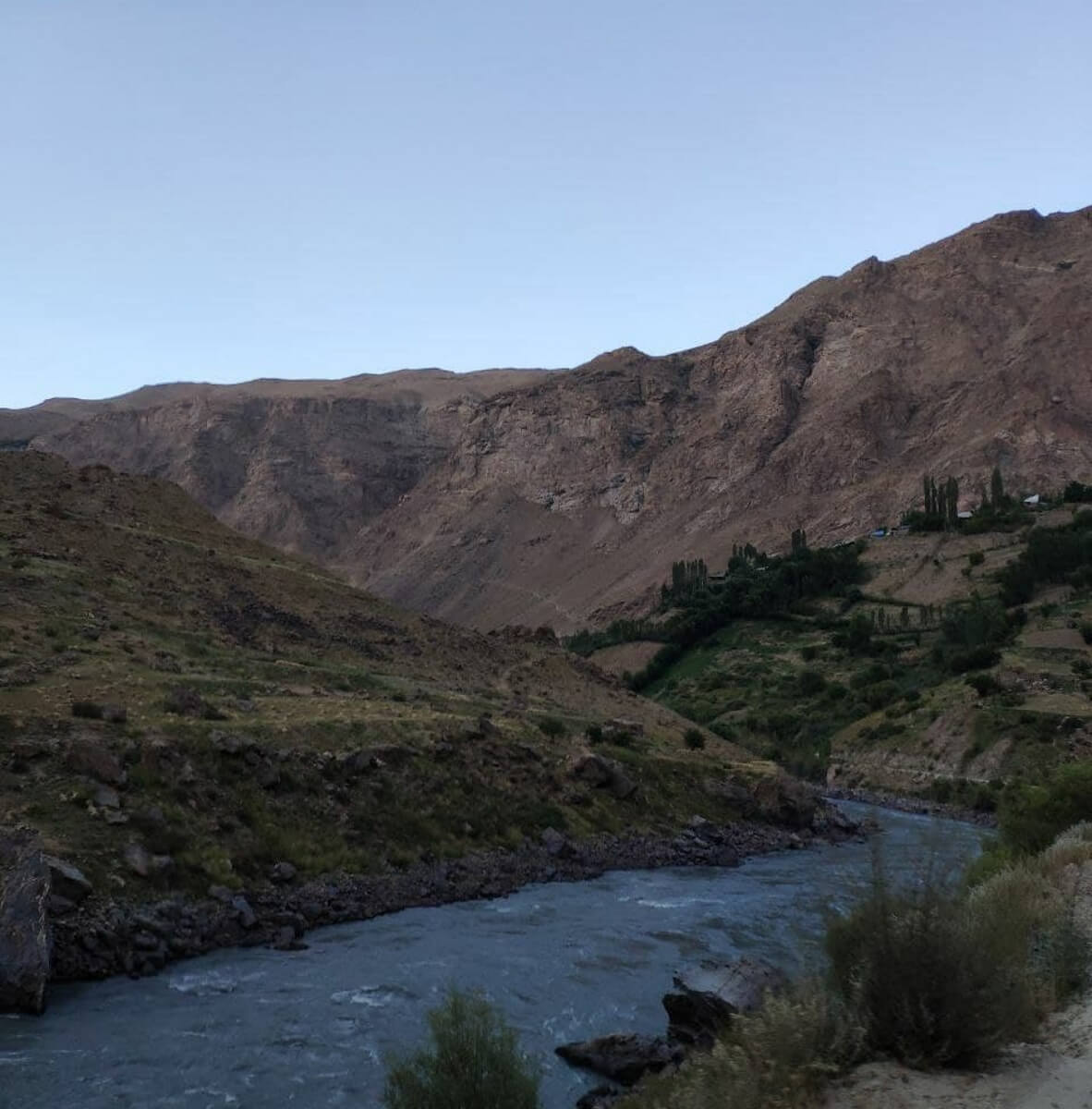
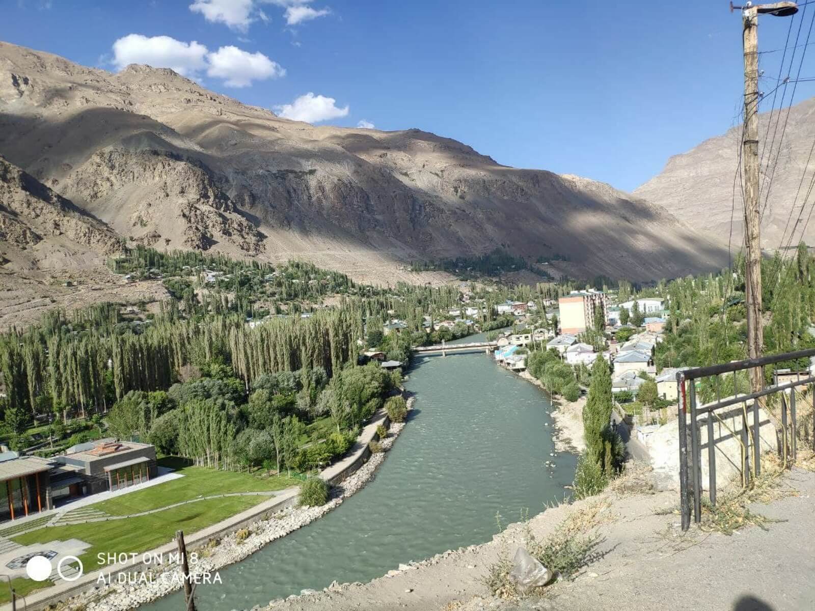
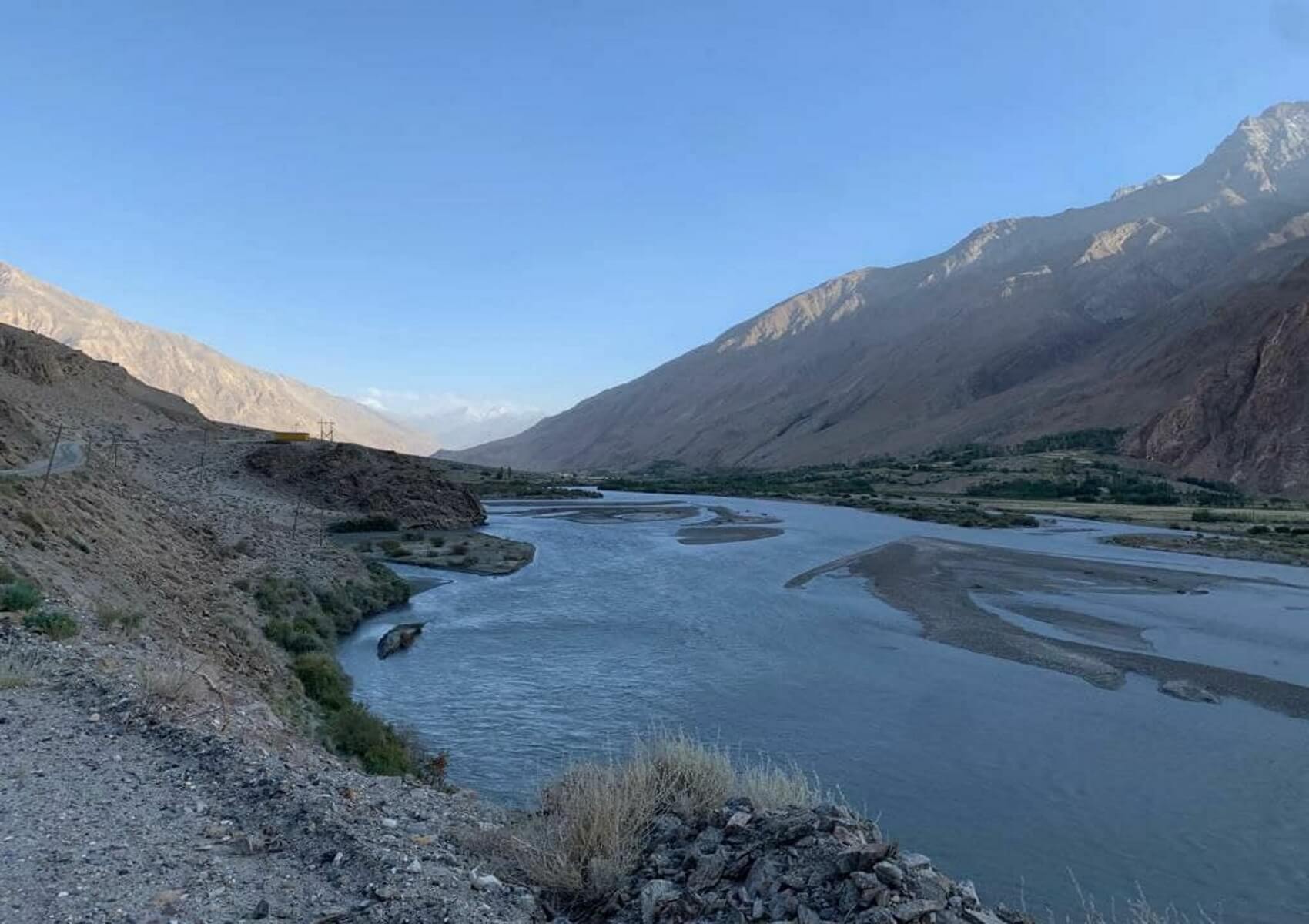
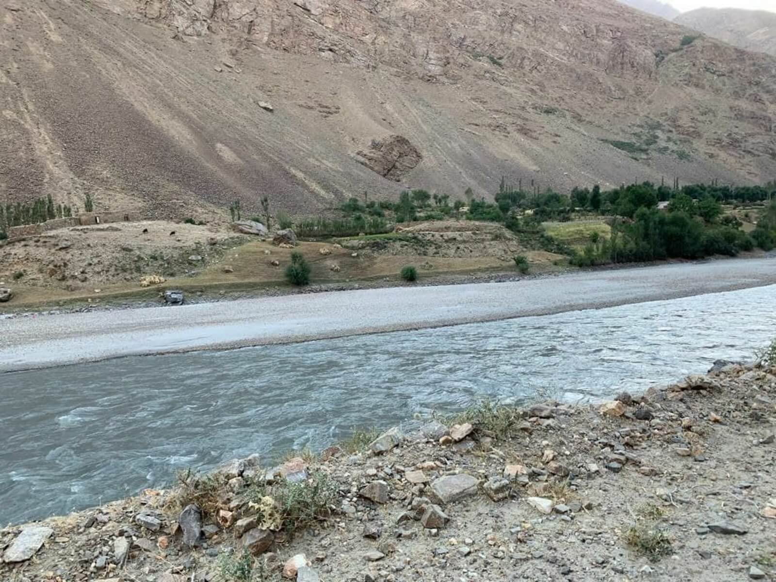
 When traveling through the Pamirs, the section of the route in the south, passing near the border of Tajikistan and Afghanistan, evokes special emotions. The border of the two republics is presented not in its classical sense, but in the form of the Pyanj River. The Afghan River valley is more spacious and contains the only narrow strip of land suitable for farming. Residents build their settlements along the banks of the Pyanj, in order to provide their small population and crops with water. This fact makes it possible to see their primitive life, and even talk over the noise of the river.
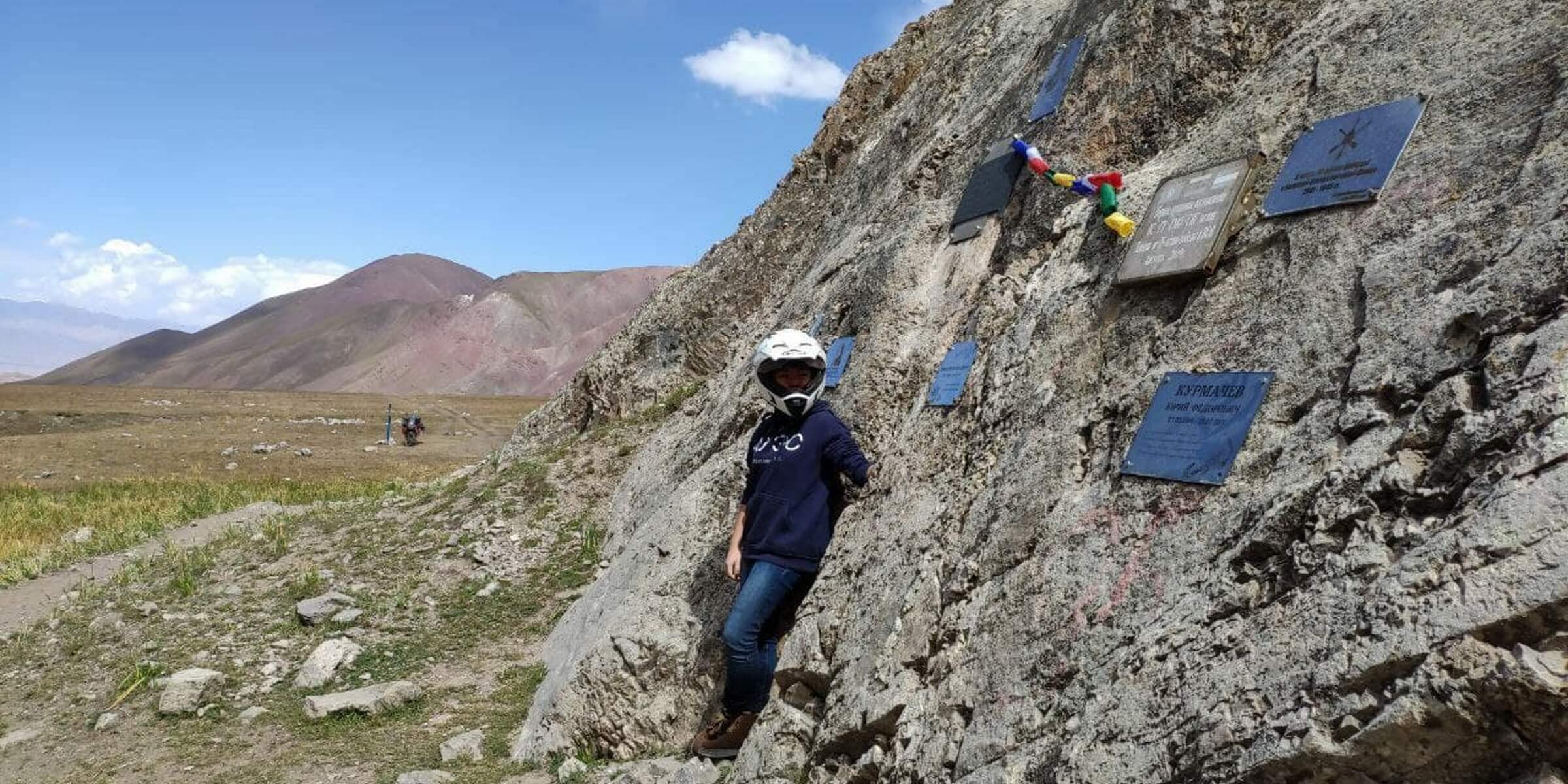
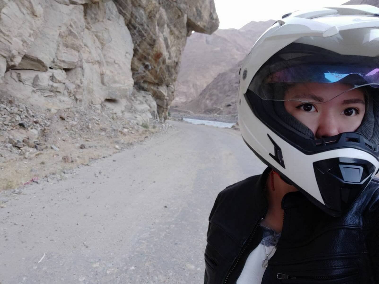
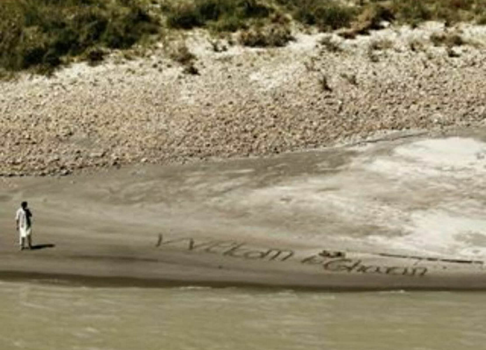
 While traveling through the Pamirs on a motorcycle, I saw Afghans collecting hay on the other side of the river. The height difference along the coast was about 30 meters: too far to hear me. I honked to get their attention. The workers smiled, waved at me, and a little boy, who was playing nearby, suddenly ran somewhere. He took a stick and wrote WELCOME (welcome) in large letters on the sand, apparently confusing me with European travelers. It seemed like a small kind gesture, but it left an impression that I will probably carry with me for the rest of my life. Returning to the topic of ancient monuments, their largest concentration is located near the Pyanj River. Ancient people were guided by the same principles of building settlements near rivers. Large locations of petroglyphs are real picture galleries, where entire compositions are carved on the rough surface of stones, where there are dozens, hundreds and thousands of similar rock paintings. Despite the harsh natural conditions that determined the difficulties of human adaptation in the highlands, people appeared in the Pamirs a very long time ago. The silent rocks have preserved ideals and people's faith in a better future. Here, the drawing conveyed deep traditions associated with the culture of the people who have always inhabited these lands or, conversely, who ended up here for a short time, moving from place to place. The oldest paintings in the Pamirs are those found in the Shakhty grotto. These paintings date back to V.A. Ranov based on the finds of stone plates and dates to the Mesolithic - Early Neolithic period (VIII - V millennium BC). In total, 63 points with finds of the Stone Age, including in caves, and art monuments of this time were recorded in the Pamirs. Most of them belong to the Markansu culture (VIII - V millennium BC), which shows similarities with the contemporaneous cultures of Siberia, Transbaikalia and, perhaps, northwestern China. Less known in the Pamirs are the monuments of subsequent periods - the Neolithic and Eneolithic, which may be due to the deterioration of the climate. Finds from the Bronze Age are also quite rare: only 5 - 6 isolated points. On the contrary, the subsequent period, the Saka, is represented by numerous mounds. The main researcher of the monuments of this period B.A.
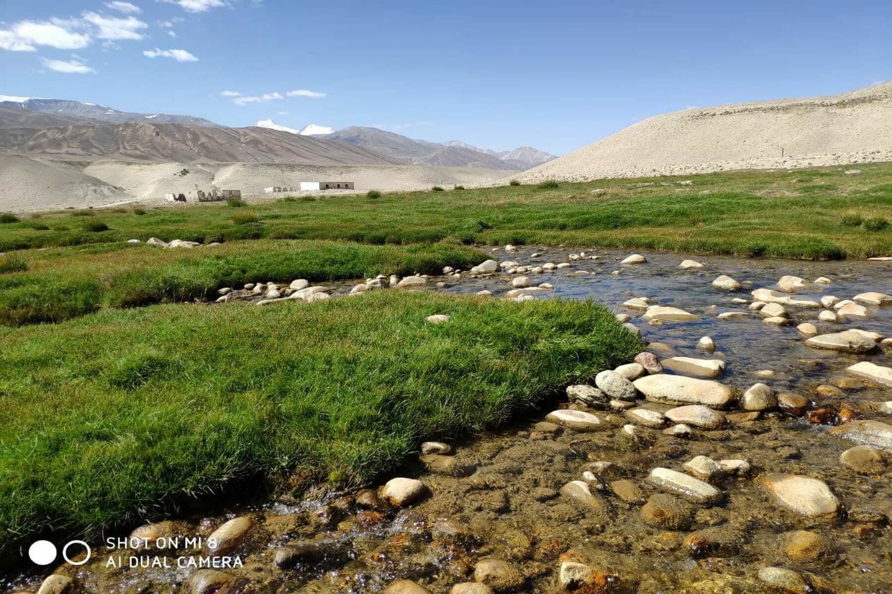
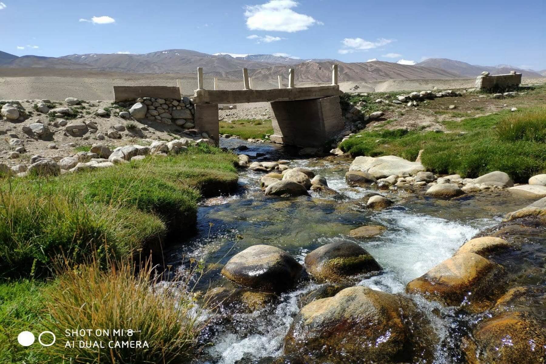
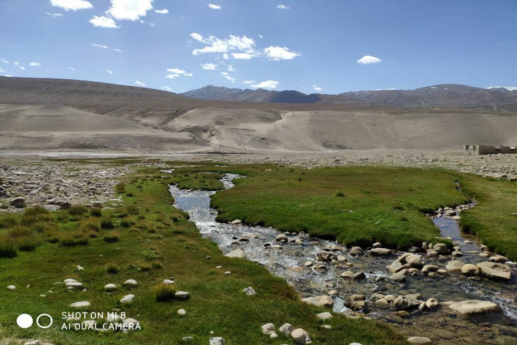
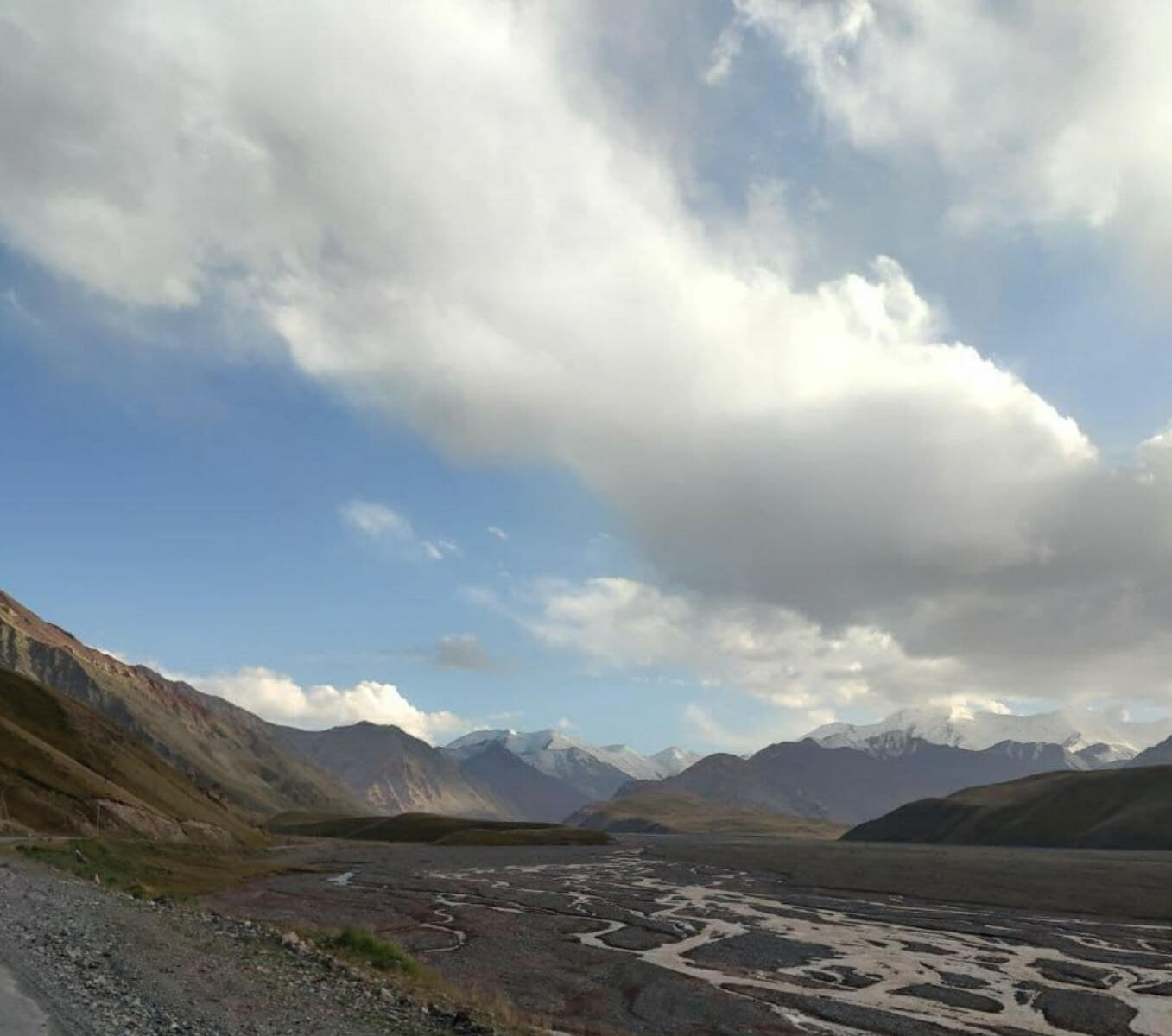
3.Nature of the Pamirs:
There are few places on earth where nature would be as unique and beautiful as in the Pamirs. For a long time, this region has attracted the attention of travelers and naturalists. And even today the number of natural scientists, artists and inquisitive tourists has not decreased at all. And each of them, finding something of their own in the amazing appearance of the Tajik land, does not remain indifferent to its “stone miracles”, called geological natural monuments. Natural monuments are a concept that was first used by the German scientist A. Humboldt. That's what he called the strange old tree. Now this name is given not only to unique trees, but also to all sorts of attractions of a particular region, waterfalls, lakes and springs, caves, rocks and boulders, interesting geological outcrops, rare species of plants and animals, typical natural landscapes - everything that makes the area memorable. Natural monuments, along with other geological phenomena, include the unique thermal springs of Gorno-Badakhshan.
3.1.Thermal springs:
The region is also rich in numerous outlets of hot and cold underground waters. Of the mineral waters, all types from Narzan to Borjomi are found here. It happens that boiling water comes out of the ground, and next to it, literally a few steps away, there is a spring with ice water. Most of these sources are healing. The most famous of them, Garm Chashma, is in Ishkashim.
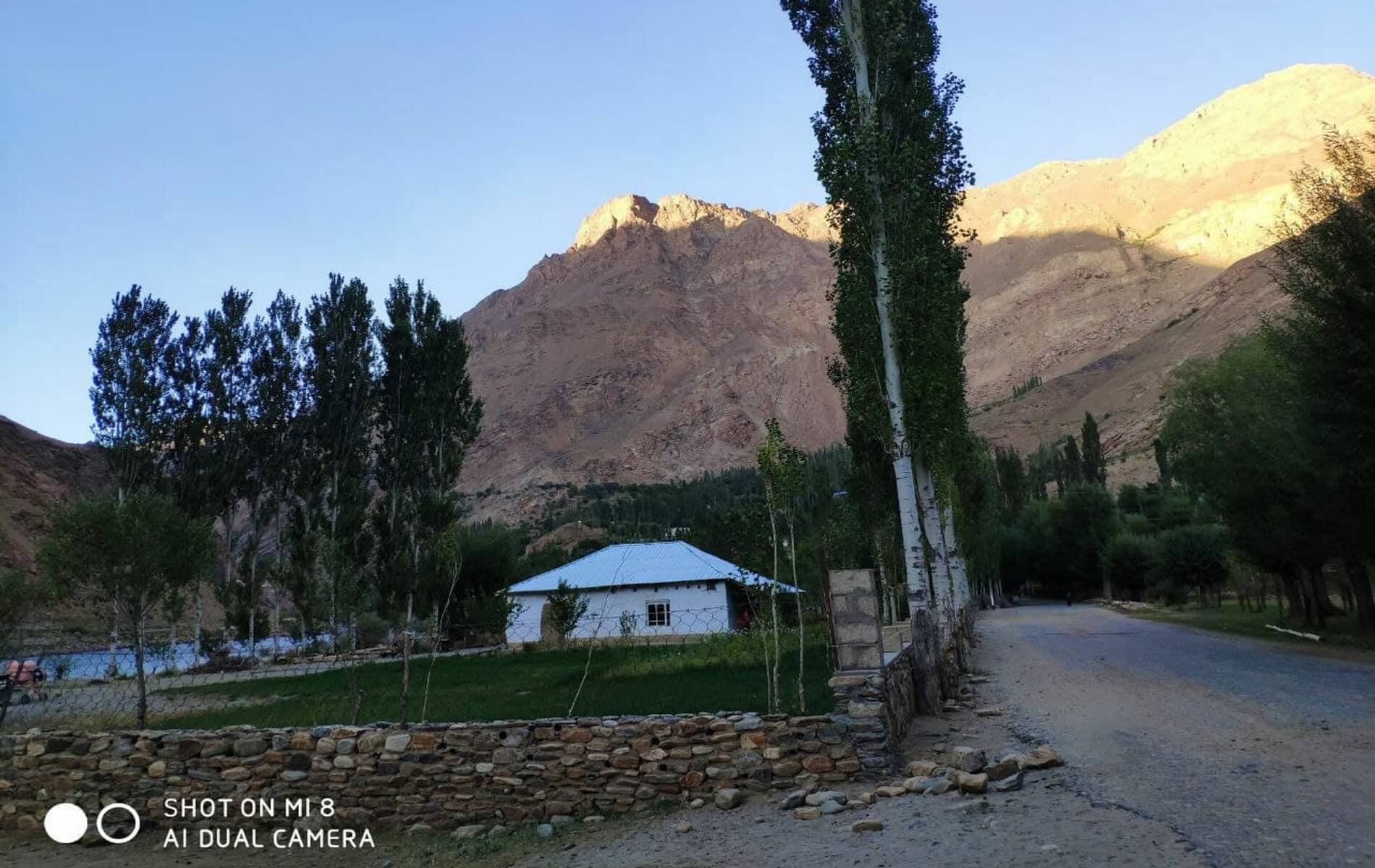
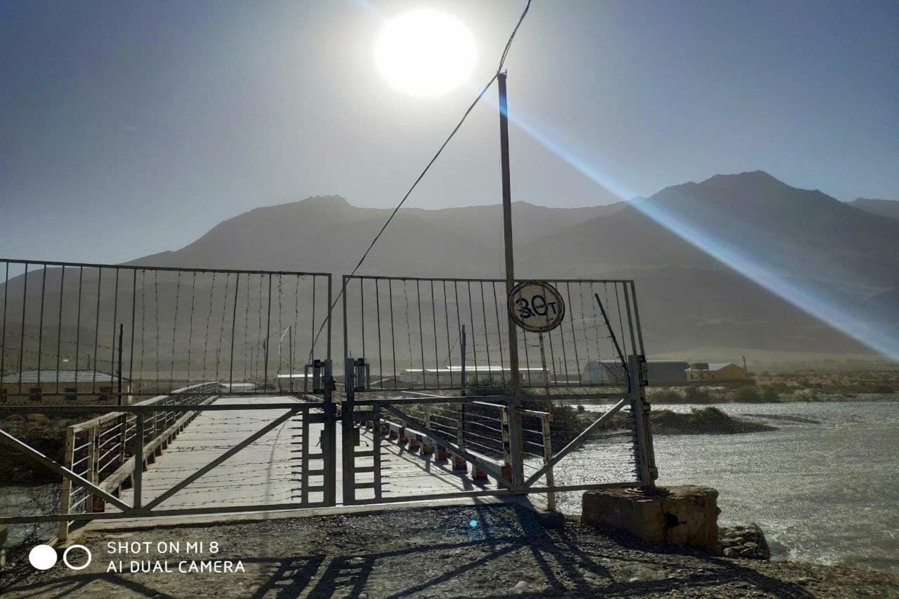
Ishkashim is a small Tajik village located at the end of the Wakhand corridor. On the Afghan side, across the Pyanj River, there is also the village of Ishkashim. It may seem strange at first glance, but Saturday is a special day in the life of the residents of Ishkashim. On Saturdays, military border guards open the bridge and a large market is organized there. This is the only day when Afghans can cross the border of Tajikistan, that is, their only connection with civilization.
The source at Ishkashim is unique. It has several natural pools with different temperatures. In the upper basin it reaches 60 degrees, however, flowing down the ledges from one bowl to another, it gradually cools to 40 degrees. The water of this source is effective in the treatment of skin diseases, joint diseases, rheumatism, and radiculitis. Its chemical composition is very complex and rich in radon, sodium, and potassium.
Also, not far from Ishkashim there is another hot spring - Bibi Fatima Zahro. The temperature in both winter and summer is above 40 degrees. Water contains radon, as well as ions of lithium, nickel, bromine, molybdenum, zinc, and is useful for the treatment of the digestive system, musculoskeletal system, urological and gynecological diseases. The structure of the source itself is interesting and surprising - a stone cave, inside of which there is a small waterfall. The cave is filled with hot water up to the waist.
In the Gunta Valley there is another equally famous spring, Jelondi, containing hydrogen sulfide. Currently, several modern buildings have been built here, where not only residents of the region, but also other regions of Tajikistan and Kyrgyzstan annually relax and improve their health.3.2. Mountains:
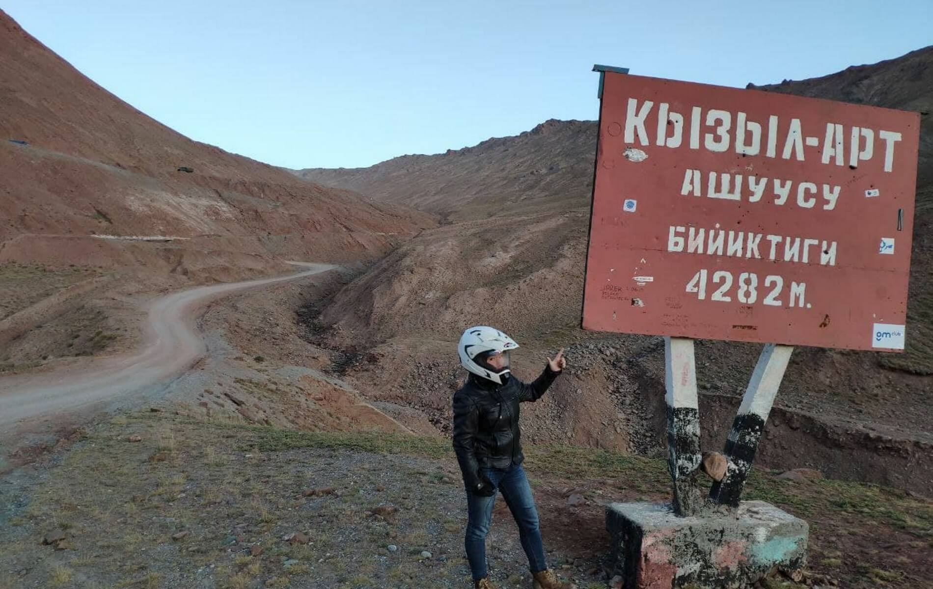
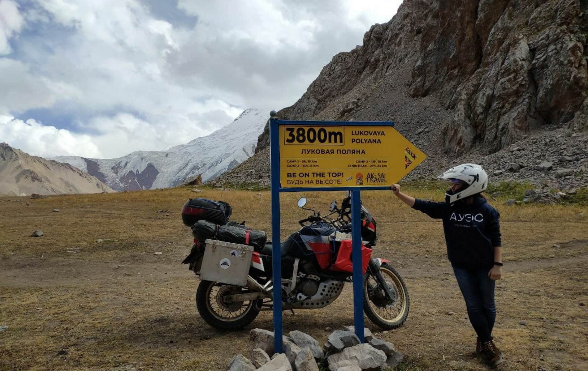
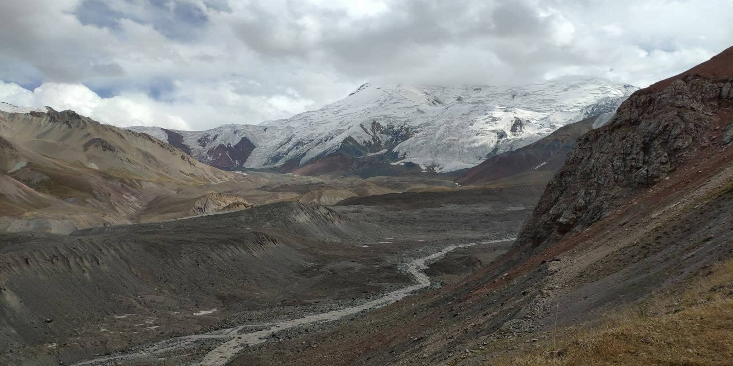
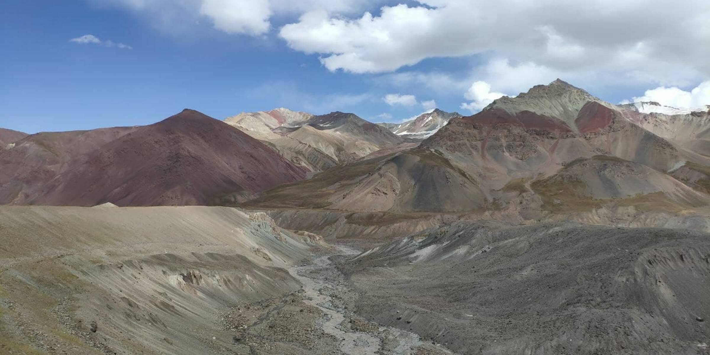
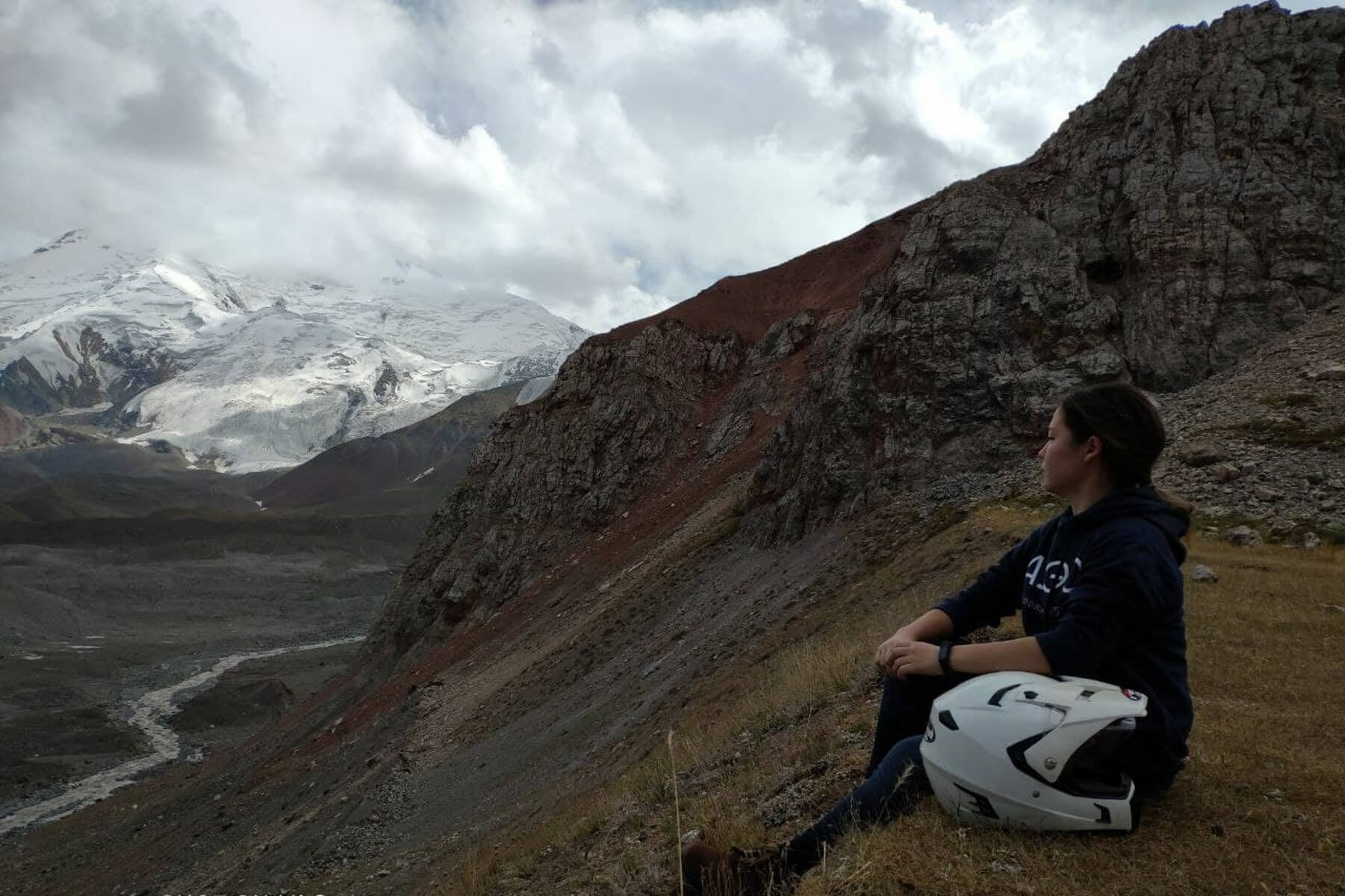
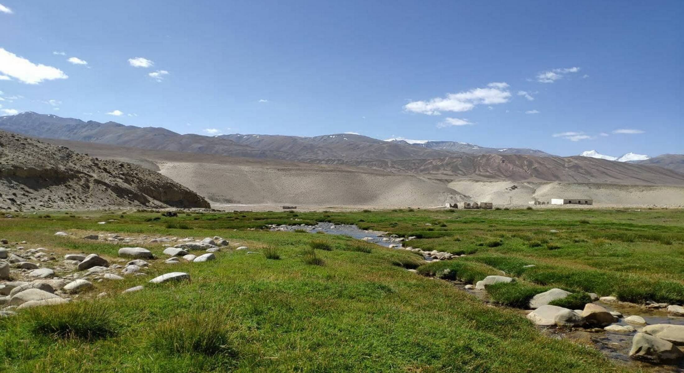
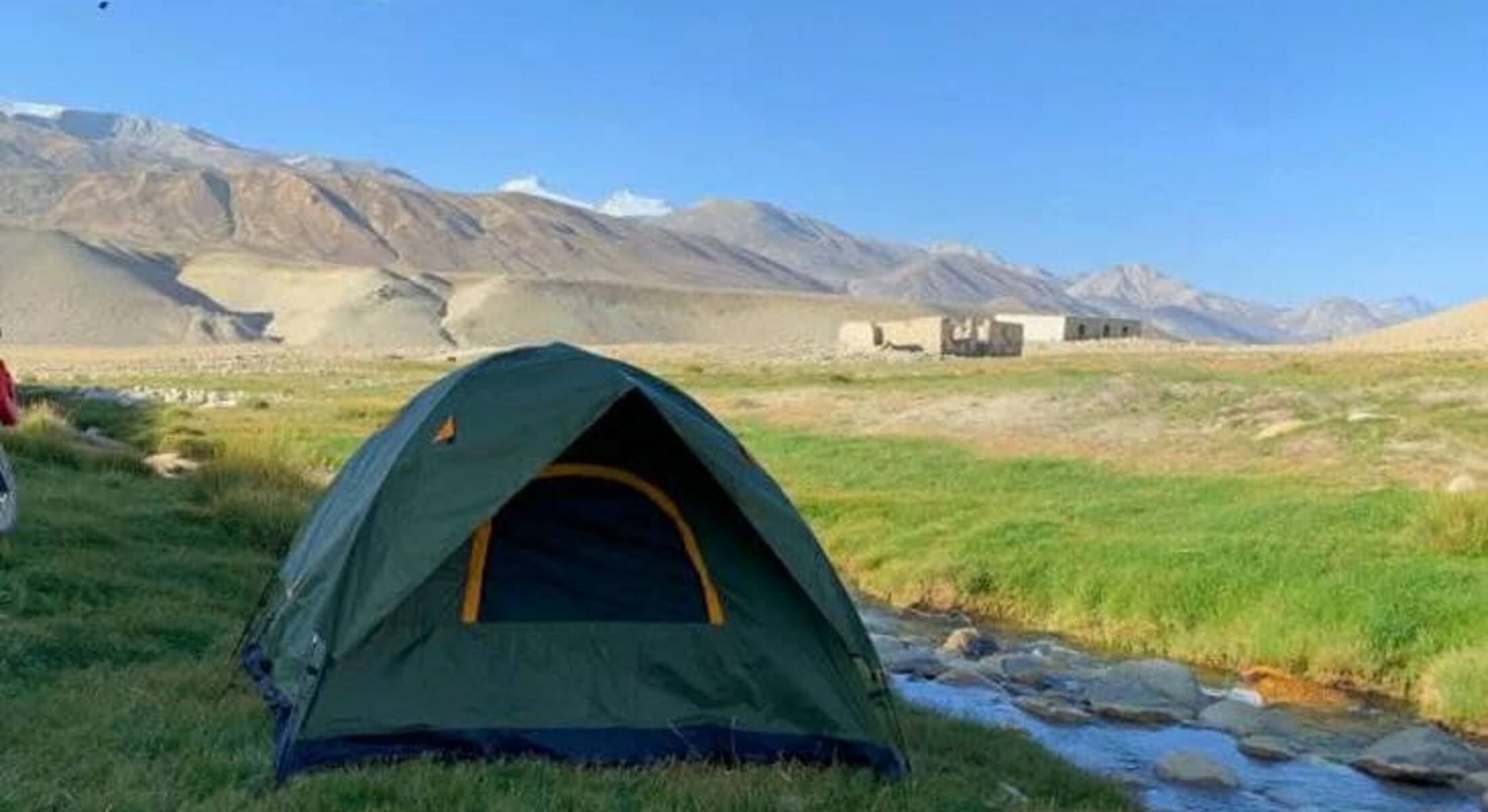
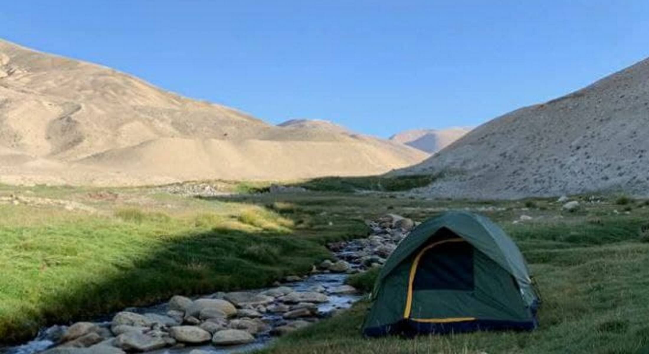
On the territory of Tajikistan there is the Pamir Mountains National Park, which was included in the UNESCO World Heritage List in 2013. The park is located in the center of the so-called Pamir Mountain cluster, from which the highest mountain ranges of Eurasia radiate. There are 1,085 glaciers in the park, including the longest glacier in a mountain valley outside the polar regions. Between the Tersagar and Kyzylart passes there is the Zaalai ridge. This part is a literal confirmation of the phrase “The only thing better than mountains are mountains you have never been to before.” The ridge here rises in an almost continuous ridge of peaks, separated by passes covered with a white blanket of ice and snow. Here is Petrovsky peak (4700m), Yukhin peak (5130m), Razdelnaya peak (6148m), Zhukov peak (6842 m), Oktyabrsky (6780 m), Dzerzhinsky (6717 m), Unity (6640 m), Kyzylagyn (6683 m) as well as the seven-thousander Lenin Peak (7134 m). Lenin Peak is the highest in Kyrgyzstan. The giant drowning in the clouds was first documented in 1871 by Russian geographer and traveler Alexei Fedchenko. Until 1928, it bore the name Kaufman Peak in honor of the Governor-General of Turkestan. With the advent of Soviet power, it began to be called Lenin Peak. In 2006, the government of Tajikistan unilaterally gave it the name of the peak named after Abu Ali ibn Sina (Avicenna). In defiance of its neighbors, in 2017 Kyrgyzstan proposed to name the peak Manas Peak. However, among tourists and climbers the old name is better known - Lenin Peak. On a jeep tour along the Pamir Highway, we make sure to make a detour towards Lenin Peak and reach the Lukovaya Polyana base camp, where there is a memorial to the fallen climbers and a view of the peak. Also in the Pamir mountainous country there are such giants as Ismoil Somoni Peak (formerly Communism, Stalin) (7495), Korzhenevskaya Peak (7105), Russia Peak (6875), Izvestia Peak (6841), Moscow Peak (6785), Garmo Peak (6602).
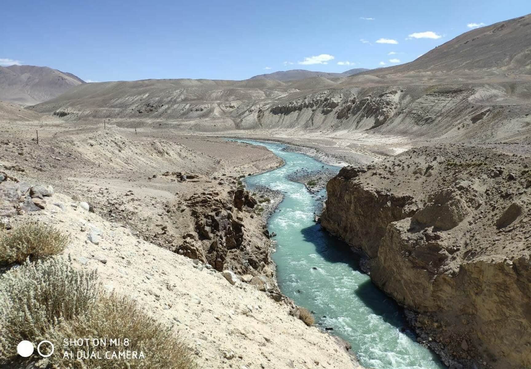
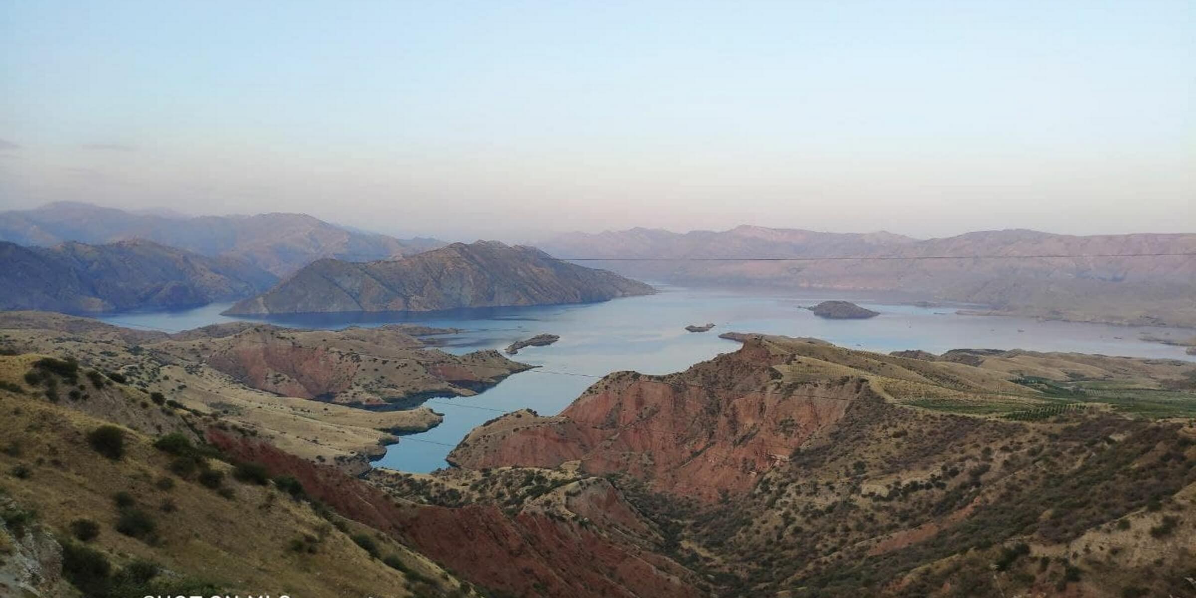
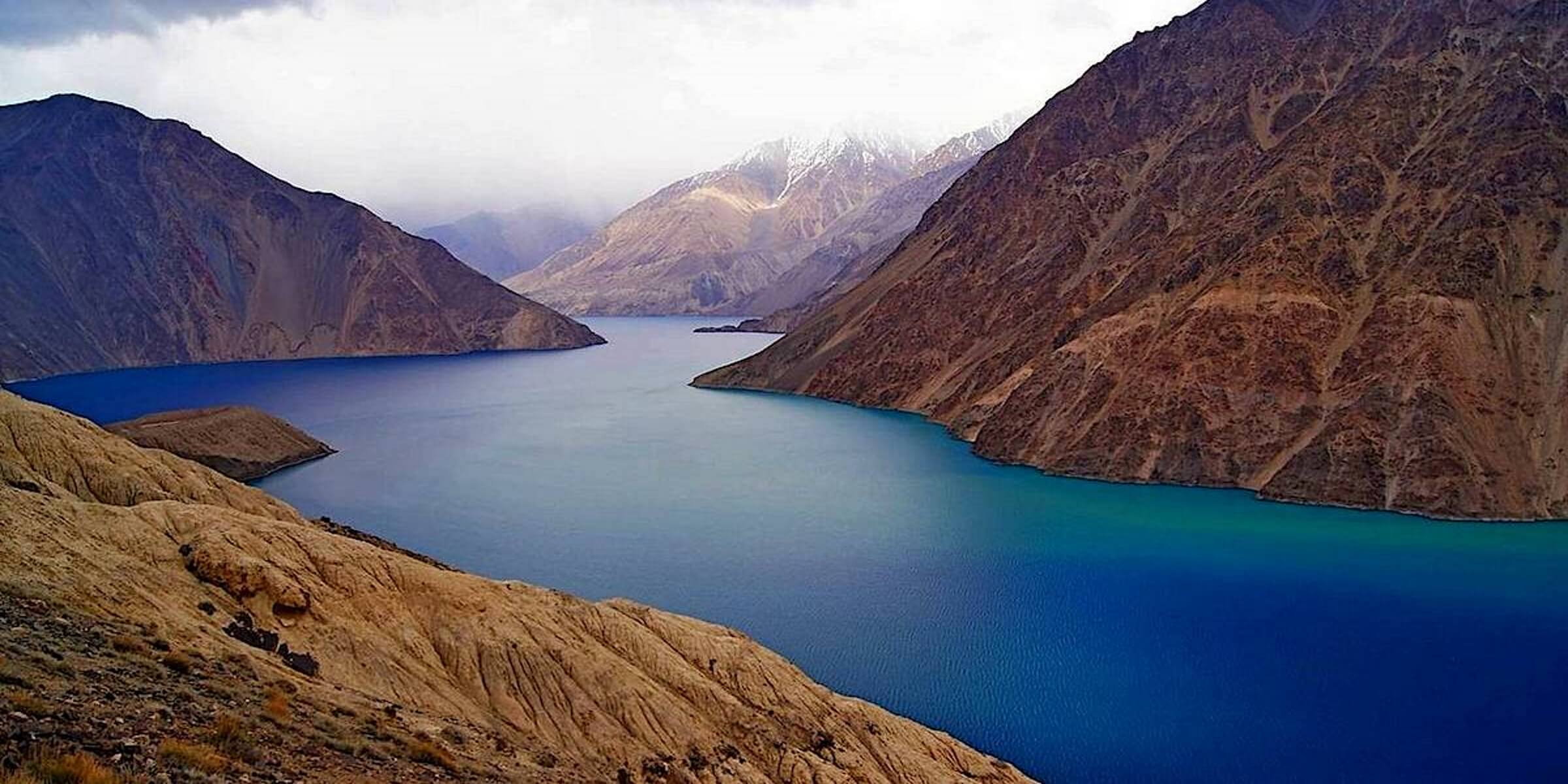
3.3. Lakes:
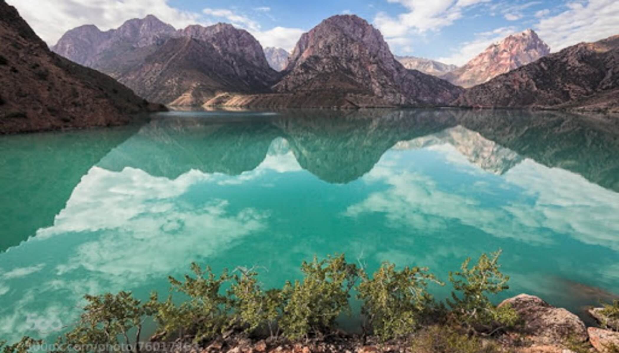
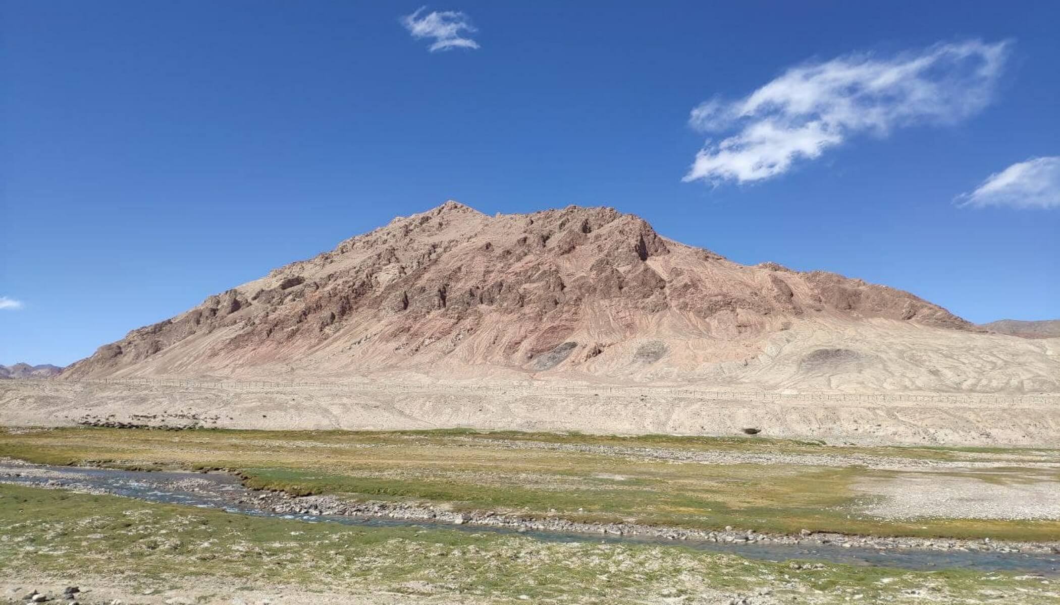
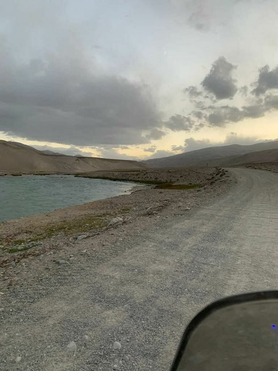
The Pamirs are rich in lakes of various geological origins. The largest lake in the Eastern Pamirs is the Salt Lake Karakul, which is located 50 km from the Kyrgyz-Tajik border. Its shores, completely covered with animal bones, are alternating layers of sand and eternal ice. Its water is undrinkable. The bottom of the lake and some of its shores are covered with permafrost for many kilometers. It is believed that it was formed during the Ice Age. Lake Karakul (“Black Lake”) is located at an altitude of 3914 m, which is 100 m higher than the most famous high-altitude Lake Titicaca in the Andes. In the valley of the Alichur River, there is a picturesque, dammed lake Yashilkul. The soft outlines of the mountains around, the greenish-blue color of the water, all this creates the impression of comfort and warmth. Among local residents there is a legend about an animal living in the lake, called a “water horse”. Lake Sarez is unique. In the narrow bowl of the lake, up to 500 meters deep, about 17 cubic kilometers of pure water have accumulated. His birth occurred on the night of February 5-6, 1911, when an earthquake caused an entire mountain to collapse into the Bartang River valley. At the same time, the village of Usoi and all its inhabitants perished. The water level in the lake is constantly rising, and now it is a giant bowl resting at a high altitude among the mountains. Lake Sarez is the largest natural reserve of fresh water. Being a tragic and at the same time beautiful creation of nature, this lake simultaneously evokes interest and a hidden feeling of fear. Scientists have called Lake Sarez the “Sleeping Dragon” and compare it to the “Murgab bomb with a lit fuse.” If there is a breakthrough of Lake Sarez, then the water flow, breaking out, will pass almost throughout the entire territory of Central Asia, washing away everything in its path. There is a belief that similar incidents are repeated every 100 years. In February 2010, the Usoi tragedy marked its 100th anniversary, and who knows what “surprise” nature will present this time. In addition to these lakes in the Pamirs there are also lakes Zorkul, Shorkul, Rangkul, Turumtaikul, Sasykkul, Bulunkul, Drumkul, Oykul, Zaroshkul, Tuzkul, Uchkul. Their total area is more than 500 square meters. km. In many of these lakes and mountain rivers there are trout fish that live only in the purest, cold water, such as marinka, osmanchik, etc. Despite all the hydrological diversity of the Pamirs, the Tajik side is not inferior in the beauty of its lakes. Not far from Dushanbe is the beautiful Nurek reservoir. The Nurek hydroelectric power station is the most powerful hydroelectric power station in Central Asia, the dam of which is listed in the Guinness Book of Records as the tallest embankment dam in the world. The height of the Nurek hydroelectric power station dam is 304 meters. To a layman inexperienced in technical matters, this figure may not seem very impressive. But... imagine the Eiffel Tower (the original height of which was 300 m), and then look at the steep mountain roads of Tajikistan, sometimes completely devoid of any surface, and it becomes clear that building such an epoch-making structure was not just difficult, but difficult squared . Also, just 130 km from the capital Dushanbe, the calling card of Tajikistan is located - Lake Iskanderkul. It is located at an altitude of 2195 meters above level, reaches a depth of 72 meters, and has an area of 3.4 km². You can swim in it, and many tourists relax on the rocky beaches in the summer, but already 10 meters from the shore the water temperature drops sharply to about +10° C. This is a typical landslide-tectonic lake, but there are many legends around its name. According to one of them, Iskander is the eastern name of Alexander the Great. During his campaign against Sogdiana and Bactria, Alexander the Great encountered resistance from one mountain village, which resolutely did not want to submit to the great conqueror. And then Alexander ordered to change the riverbeds in order to flood the rebellious, and this is how Lake Iskanderkul was formed. In addition, in addition to Lake Iskanderkul itself, there are several other attractions here: Zmeinoye Lake, which, due to the higher water temperature, is inhabited by many snakes; 43-meter waterfall “Fan Niagara”, located on the river flowing from Iskanderkul; and a rock with the inscription: “Russians, 1870”, left by the expedition of the famous scientist and traveler Alexei Fedchenko.
4. Famous researchers:
In the 19th century, the region was studied by Nikolai Severtsov, Alexey Fedchenko, Arnold Regel, Mikhail Ionov, Dmitry Ivanov, Ivan Mushketov, Konstantin von Kaufman, Fyodor Alekseenko, Sergei Korzhinsky, Arminy Vambery. In the 20th century, Grigory Shpilko, Nikolai Korzhenevsky, Nikolai Vavilov, Pavel Baranov, Ilaria Raikova, Kirill Stanyukovich, Anatoly Gursky, Nikolai Gvozdetsky, Oleg Zelensky, Okmir Agakhanyants, Khudoer Yusufbekov, Vladimir Kotlyakov. In the 21st century Alexey Postnikov.
As you can see, Tajikistan and the Pamir Mountains are always waiting for their explorers. This is a separate, unlike anything else, the discovery of which, even just for yourself, will leave indelible impressions for a lifetime.