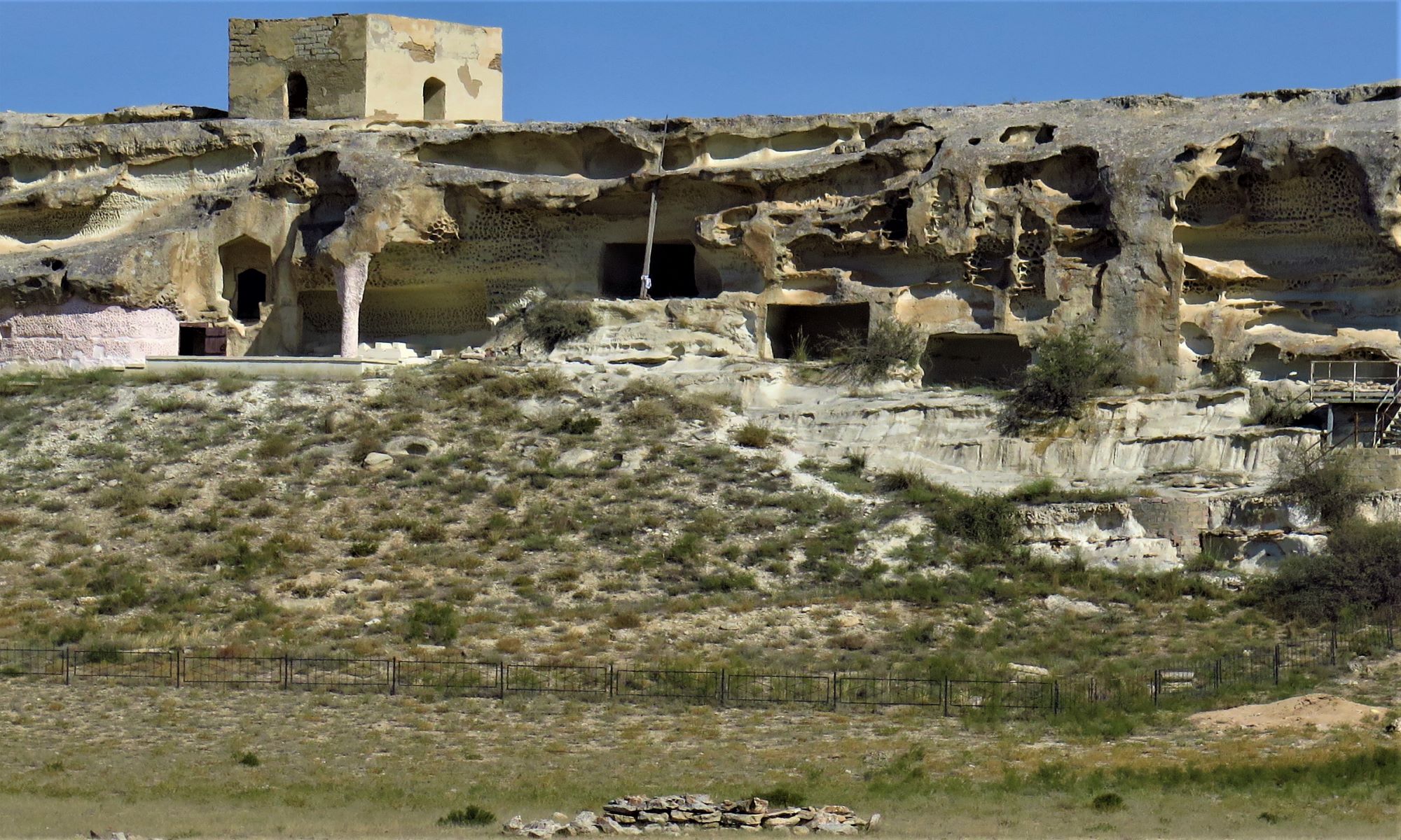
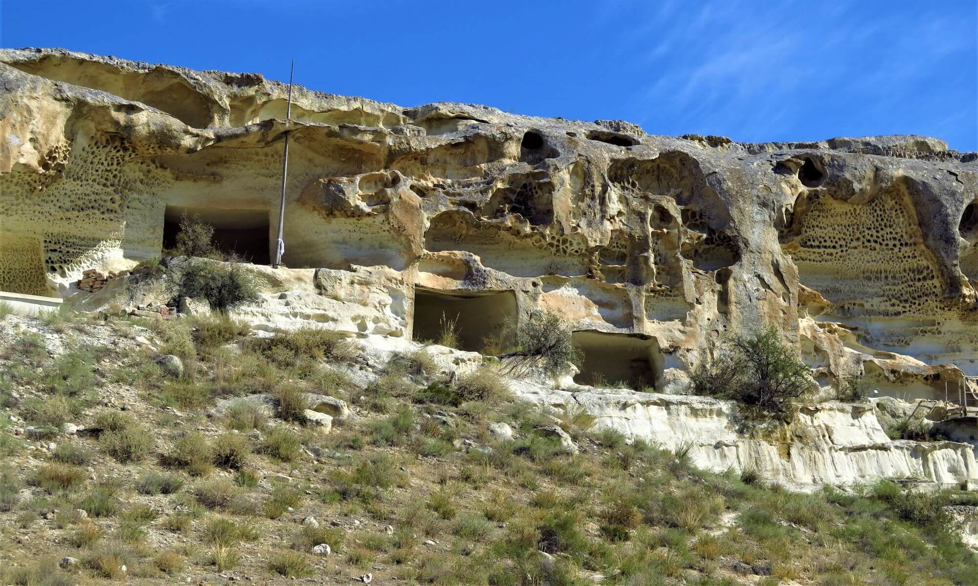

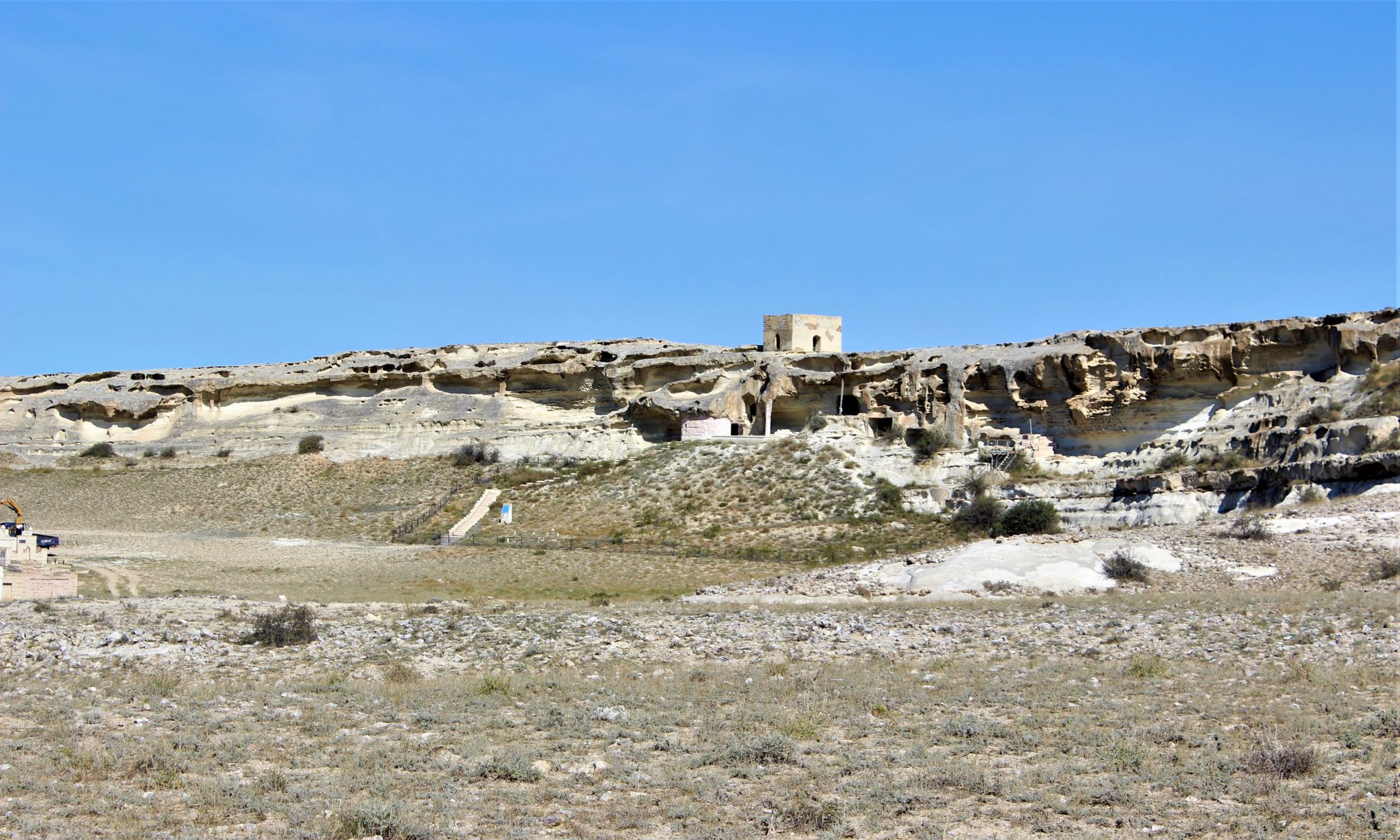
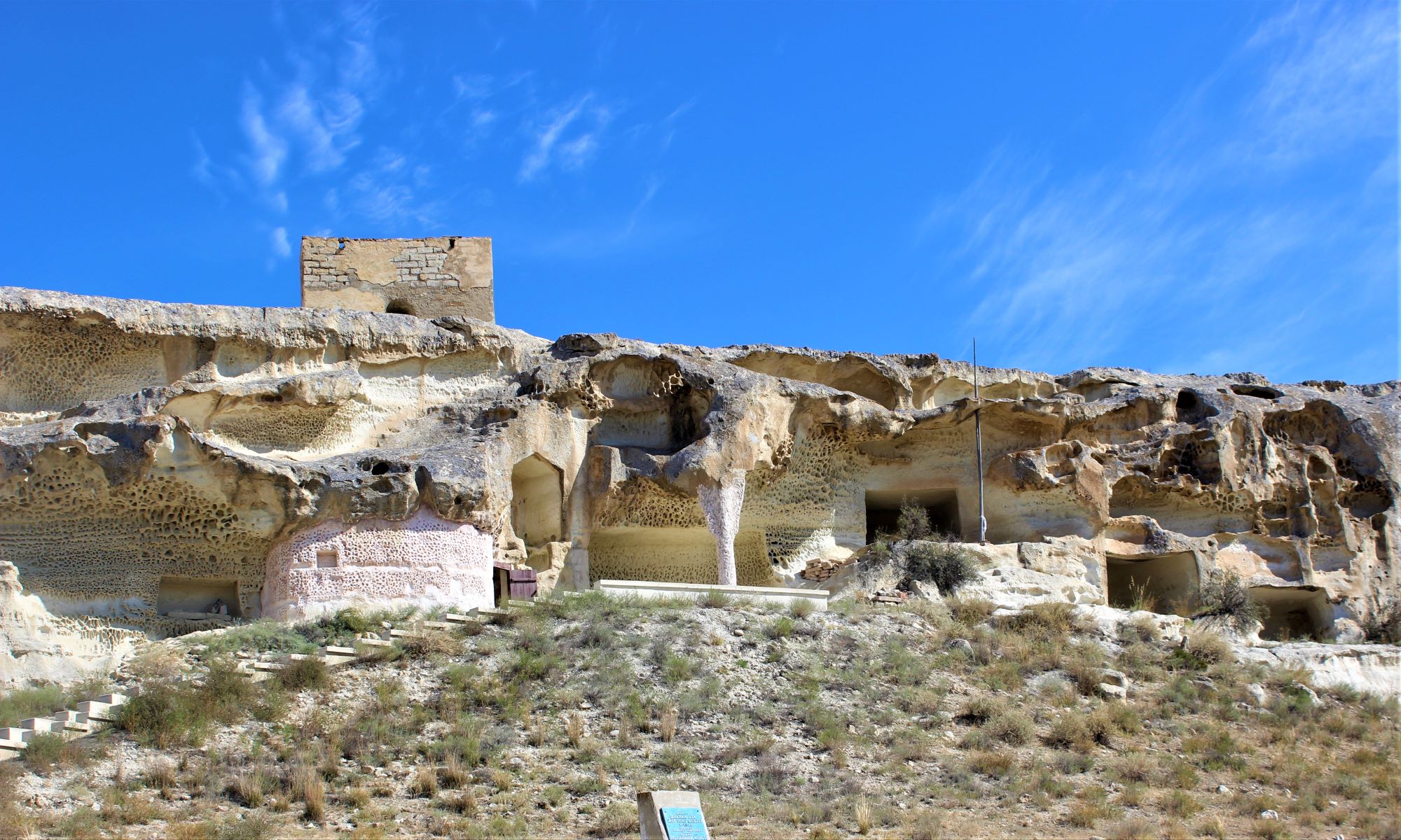
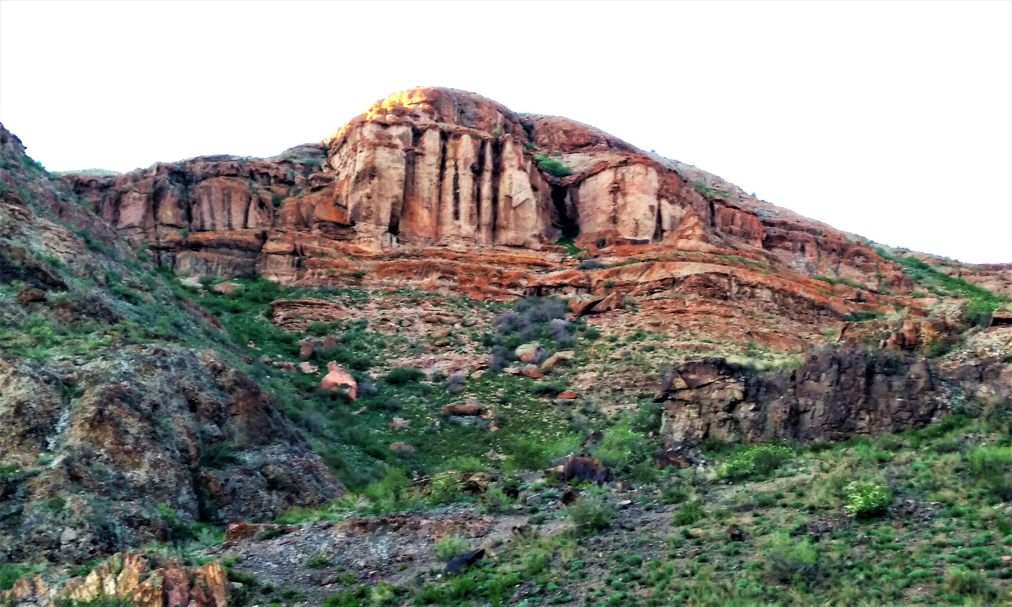
The written history of Kazakhstan in antiquity and in the Middle Ages is practically unknown. The reason lies sometimes in the scarcity of the written sources themselves, and often in their complete absence for certain very important periods. In-depth information about Kazakhstan is hidden in the monuments left by ancestors. Unlike the written records, the archaeological evidence is practically inexhaustible. Perhaps it is difficult to name another region of Eurasia where there are so many of them. Kazakhstan is truly an open-air museum, the most striking exhibits of which rest in the Aral Sea region, in the ancient delta of the Syr Darya, on Mangyshlak, in Saryarka, Zhetysu, Mugodzhary and Priirtyshie. Over the years of the existence of archaeological science in our country, scientists have recreated a holistic picture of the development of the ancient history of Kazakhstan, including the history of culture. The magnificent works of our ancestors, discovered thanks to the selfless and selfless work of several generations of archaeologists, have become known to the whole world. And now no one doubts that here, on our land, the most important pages of the history of mankind were written. Who built the first Kazakhstani cities? Who inhabited them? When did they arise? How did you develop? Why did they die?
 Proto-cities in the steppe zone of Kazakhstan, stretching from the Urals to the Irtysh, arose at the beginning of the Bronze Age (from 1800 to 1600 BC). One of these cities is Arkaim, as its remnants are now called. It is located on the border of the Chelyabinsk and Kostanay regions. For many years, Russian archaeologists have been conducting research on this territory.
The Arkaim ancient city has features typical of the early city. This is a developed system of fortifications, this is the presence of a strict building plan, and, perhaps, even a model, according to which the settlement was built. In addition, the entire territory of the settlement is divided into several zones: residential, industrial, public. Each of them concentrates either housing, or production, or holding sacred rituals, or holding public meetings.
The fact that Arkaim was a good city is evidenced by its role in supplying nearby villages with metal products and ceramics. Numerous artisans lived in Arkaim: blacksmiths, metallurgists, potters.
A temple complex is located near Arkaim. The spread of small stone sculptures, which depicted ancient gods belonging to separate clans and families, dates back to this time. They were kept in hiding places and were brought to churches only during religious festivals.
An interesting find in the settlements of this time are clay circles with signs imprinted on them. They, apparently, belong to the very beginning of the emergence of writing and characterize the high level of development of society.
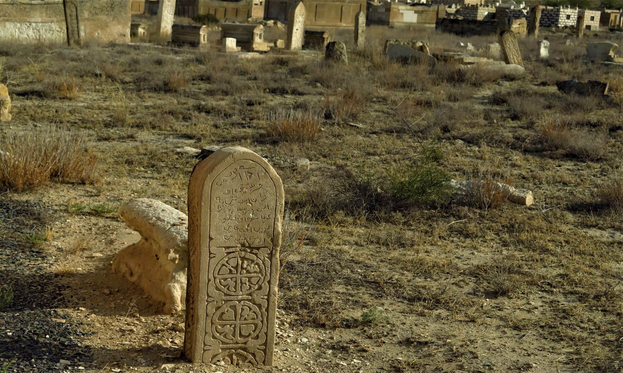
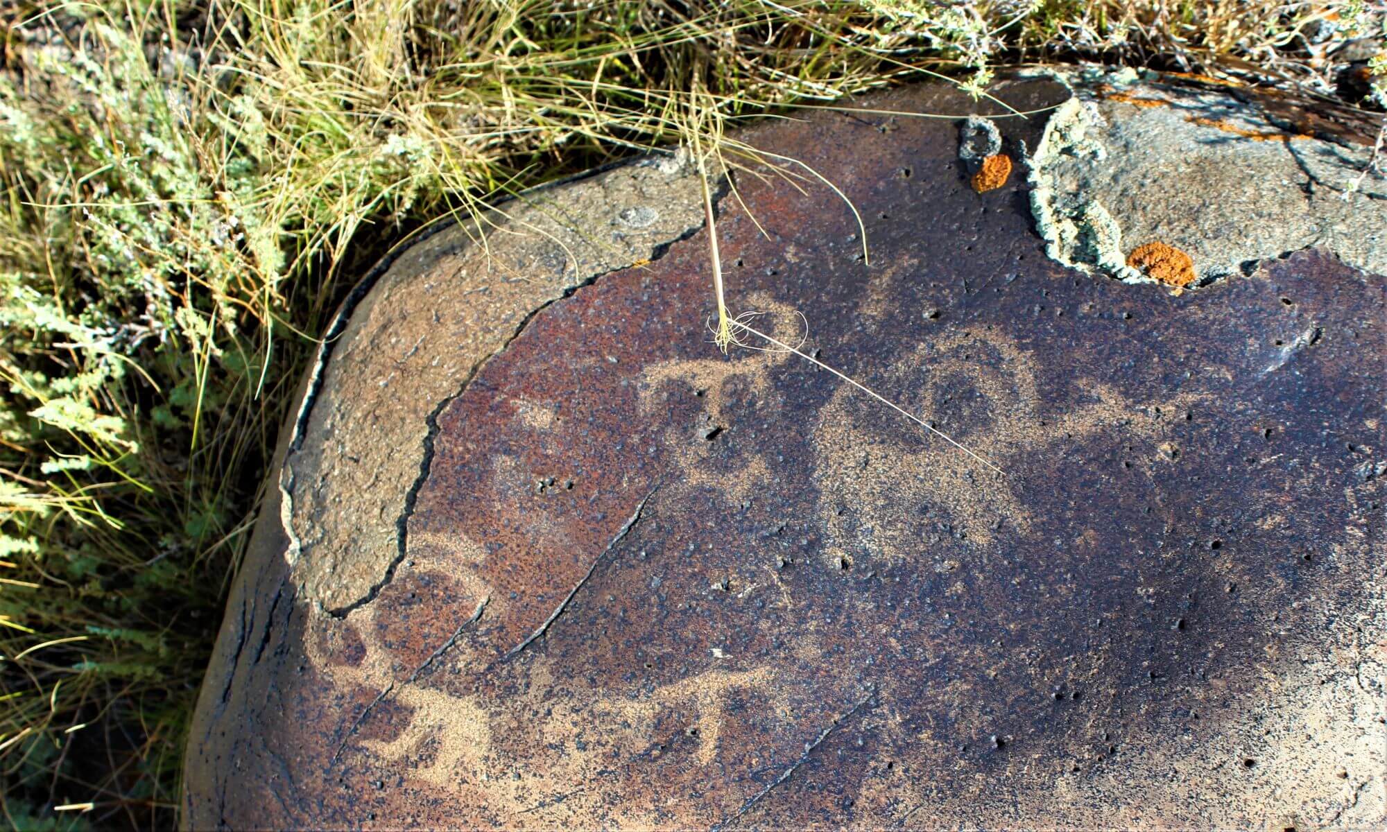
In the 1st millennium BC. the territory of Kazakhstan was inhabited by the Saki people. This is what the Persians called him, the Greeks called him Scythians, and the Chinese called him se. Saki-Scythians-se were contemporaries of the Persians of the Achaemenid era, the kings of Cyrus and Darius I, as well as the Greeks of the era of Alexander the Great. It was the Saki who left numerous cemeteries or necropolises (from the Greek language “the city of the locals”), consisting of dozens of huge mounds, sometimes reaching the height of a five- or six-story building and over 100m in diameter. Until recently, the culture of the Saks was studied only on the basis of burial monuments - mounds that belonged to the kings and the elite of society. For a long time, scientists had the opinion that the Saks were nomads, and that settled life and agriculture were secondary to them. But as soon as archaeologists turned their attention to the search for Saka settlements and cities, success immediately came.
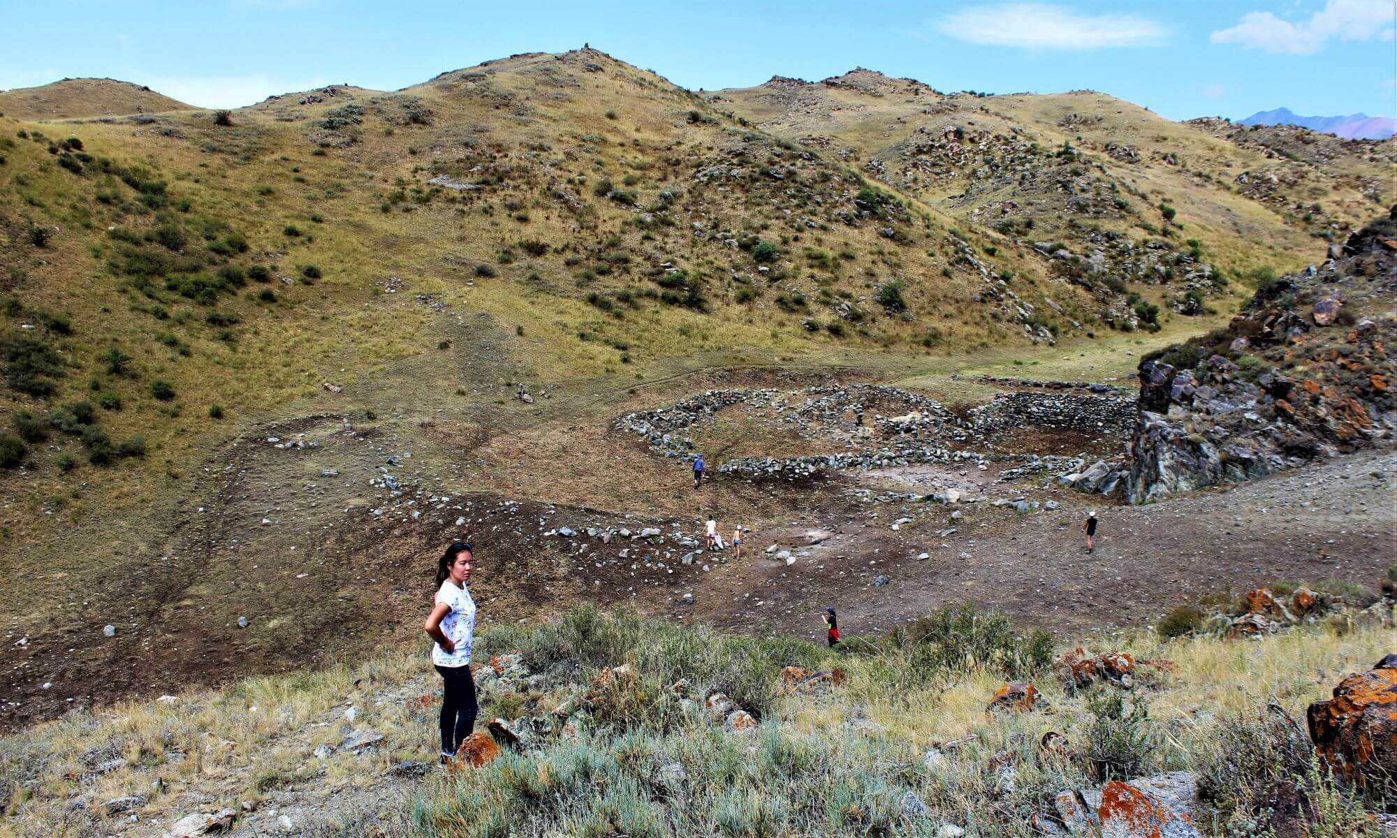
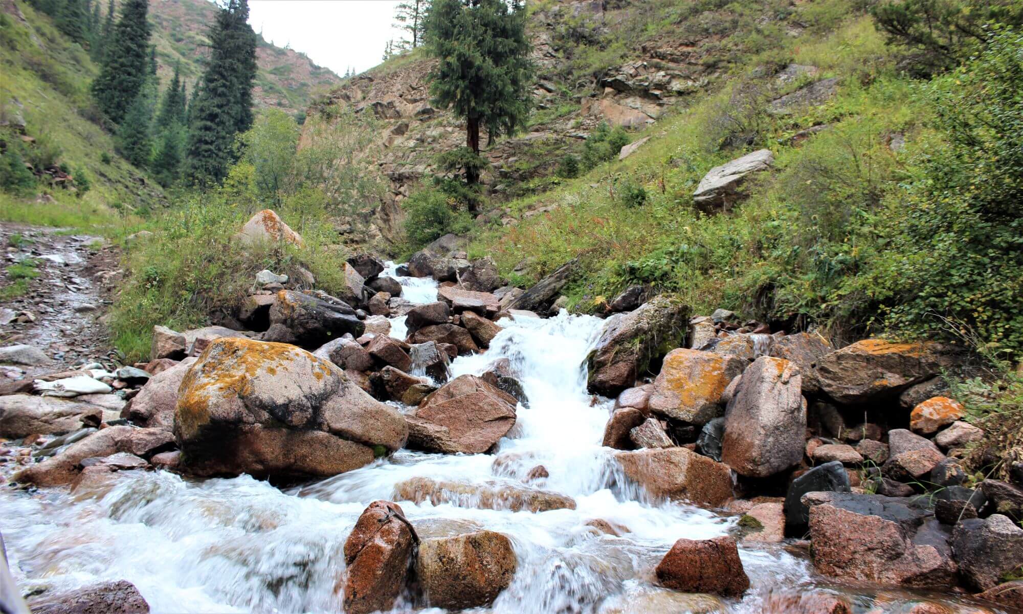
Near Almaty, in the picturesque foothills of the Zailiyskiy Alatau, in the steppe zone of the Anrakhay and Seriktas mountains, in the high mountainous regions of Assy and Turgen, dozens of Saka settlements were discovered.
Some settlements grew into cities. One of them was discovered by researchers on the mountain slopes near the village of Rakhat, just 5 km south of the Issyk burial ground. The research of the Saka settlements in the Semirechye is just beginning, but in the Aral Sea region they have been going on for a long time.
 One of the cities of the Saks, or rather, its ruins under the modern name Chirik-rabat, is located on the banks of the ancient, now dry bed of the Syr Darya River. Now this territory is occupied by the sands of the Kyzyl Kum desert.
The Saka city was built on a high hill, which, as it were, raised the city over a flat plain and made it invulnerable to enemies. Like the top of the hill, the city was oval in shape. Its length is 850 m and its width is about 600 m, and its area is thus 51 hectares.
Chirik-rabat was protected from all sides by two rings of walls and a deep moat, once filled with water. The height of the inner wall, now heavily destroyed, even now reaches 3 m. Inside it there was a gallery, from where archers through arrow-shaped loopholes could hit the enemy approaching the city.
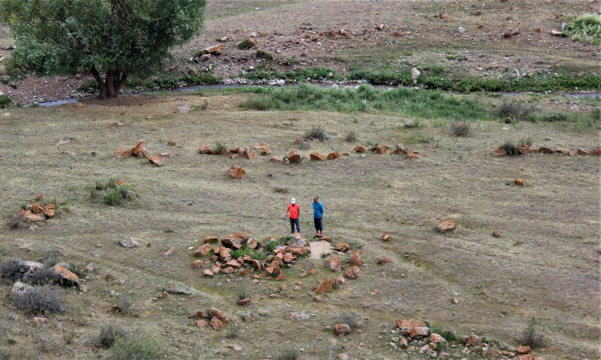
As it was possible to establish, initially on the site of the future city there was a necropolis - a cemetery of Saka-Apasiacs. Here, under high earthen mounds (there are 6 in total) they buried their kings. One of the mounds has been excavated. It turned out that under the embankment there was a burial pit cut into the ground with dimensions of 7.5 x 7.5 m and a depth of 2.5 m. Its walls were covered with clay and whitewashed with lime. From above, the pit was covered with a deck of six layers of reeds. Unfortunately, the mounds were plundered in antiquity, the robbers could not endure all alone, or did not have time. Found an iron sword with a wide massive blade, bronze arrowheads, fragments of gold items.
In addition to the burial mounds, there were burial structures here - mausoleums, built of adobe bricks. The walls of one of them are still preserved to a height of 8 m. This is a round building with a diameter of almost 40 m, which was also robbed in antiquity. The robbers "left" the remains of the iron plate armor that once defended the warrior to archaeologists. Usually such armor was worn by equestrian warriors - heavily armed cataphractor riders.
 Now let's turn over the pages of a geographical composition of the last third of the 10th century. "Boundaries of the World", written in Persian. On one of the pages of this work, two villages are named - Tong and Talhiz, located on the border between the possessions of the Jikils and Karluks, near Lake Issyk-Kul. Let's try, however, to find these names on the map. Of particular interest is the village of Talhira (Talhiza). And first of all, by its sound similarity with the name of the city of Talgar, which is well known to contemporaries, located not far from Almaty. Famous archaeologists A.N. Bernshtam and A.Kh. Margulan was the first to determine that the chronicle Talkhir and the ancient settlement Talgar are one and the same.
The central part of the settlement, covering an area of about 9 hectares, rises above the rest of the area. Talhir was surrounded on all sides by a wall, which has now turned into a swollen rampart overgrown with grass and bushes. A deep moat surrounded it from all sides, except for the western one, which adjoined the city to the steep bank of the river. The corners and walls of the settlement are fortified by protruding towers. The entrances were opposite each other in the middle of the walls. The streets connecting them divide the settlement into four parts. Outside the fortifications, the buildings were solid and of the same type. Judging by the remains of stone walls that have been preserved on the surface, protruding above the ground, these were rectangular structures with an area of 200 to 500 square meters. m. Talhir as a city emerged in the VIII century. AD, and in the X-XIII centuries. reached its prime. We managed to find out its layout. The city was divided into quarters by straight streets. Each block consisted of 12 to 14 manor houses, connected by small streets. It is assumed that people who lived in the neighborhoods were related by family ties. The manors of the city had a characteristic feature: the presence of a residential part, a house and a courtyard proper, the size of the area of which depended on the prosperity of the owner, since urban land was always expensive.
Talhir on the Silk Road occupied a nodal position, since here the Silk Road branched out: one direction went northeast down the Talgar River to the crossing of the river. Or, and then in the Dzhungar region, to the banks of Ala-Kol and further to China, and the second went east through Chilik to Charyn, and then along the right bank of the Ili through modern Jarkent and Khorgos to China or through Chilik, modern Raimbek (Narynkol) also to China. During the excavation of the houses of the townspeople, bronze mirrors, porcelain dishes from China, bronze jugs and dishes from Iran, ivory products brought from distant India, glazed pottery from Samarkand, even from distant Japan, a faience dish got to Talhir. It depicts people in rich gilded robes.
Talhir began to decline at the end of the XIII-XIV centuries, which was due to the internecine struggle of the Mongol khans, constant wars, from which the sedentary urban population suffered. During the wars, the irrigation system was destroyed, fields were trampled, trade fell into decay. The townspeople were forced to move to more stable regions of southern Kazakhstan and Central Asia. Gradually, Talhir became desolate, turned into a small village, but the inhabitants, engaged in arable farming and cattle breeding, continued to live here on fertile, well-irrigated lands. Russian travelers of the 19th century write about the villages of Kazakh farmers in Zhetysu, and Chokan Valikhanov, who traveled here in 1854, writes about Kazakh farmers who lived in the valley of the Talgar River near the Rustemovskiy Kurgan, as the ruins of the large medieval town of Talkhir were then called.
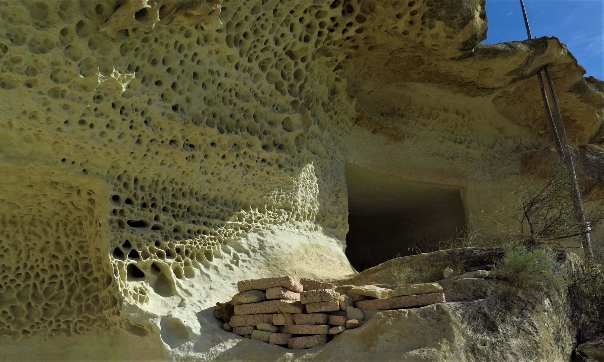
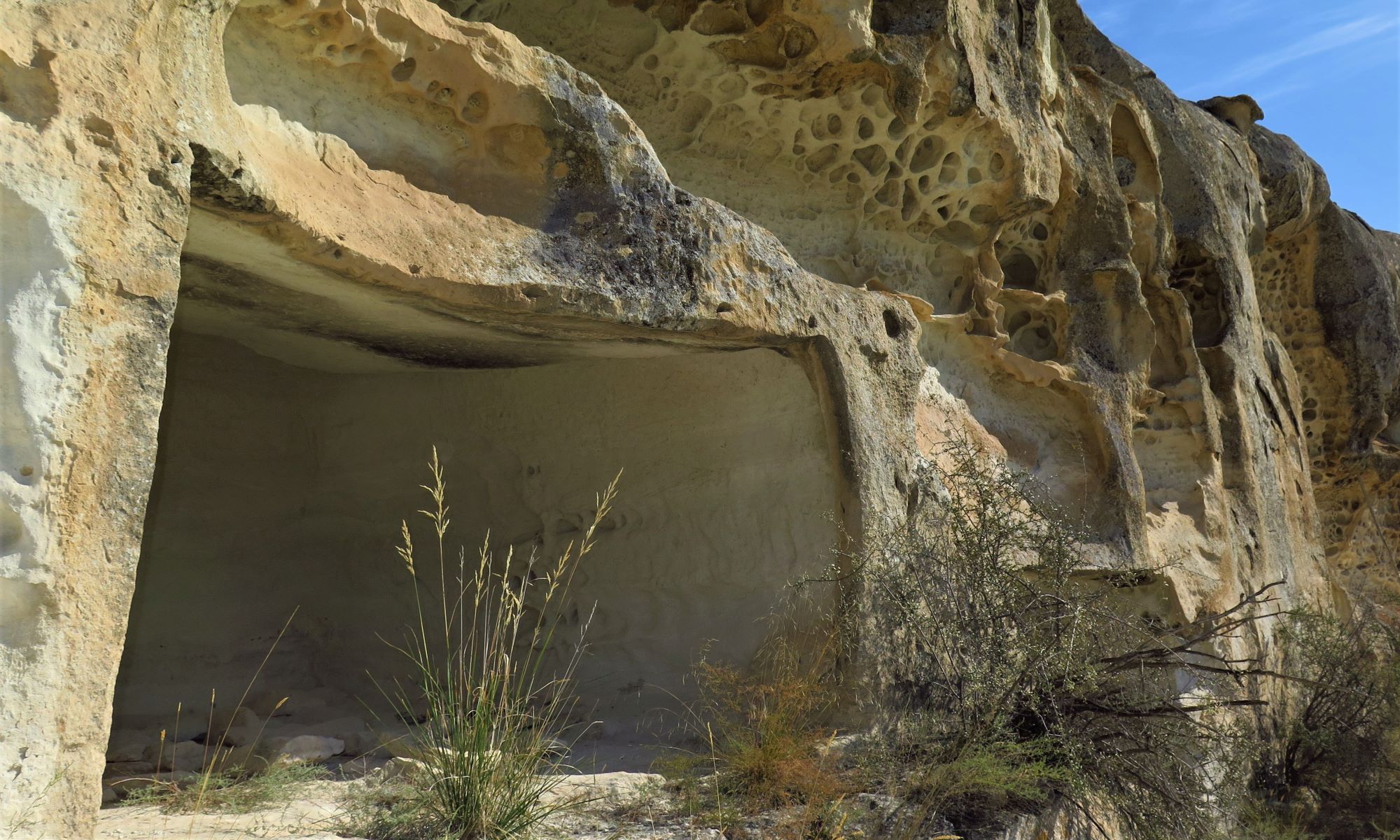
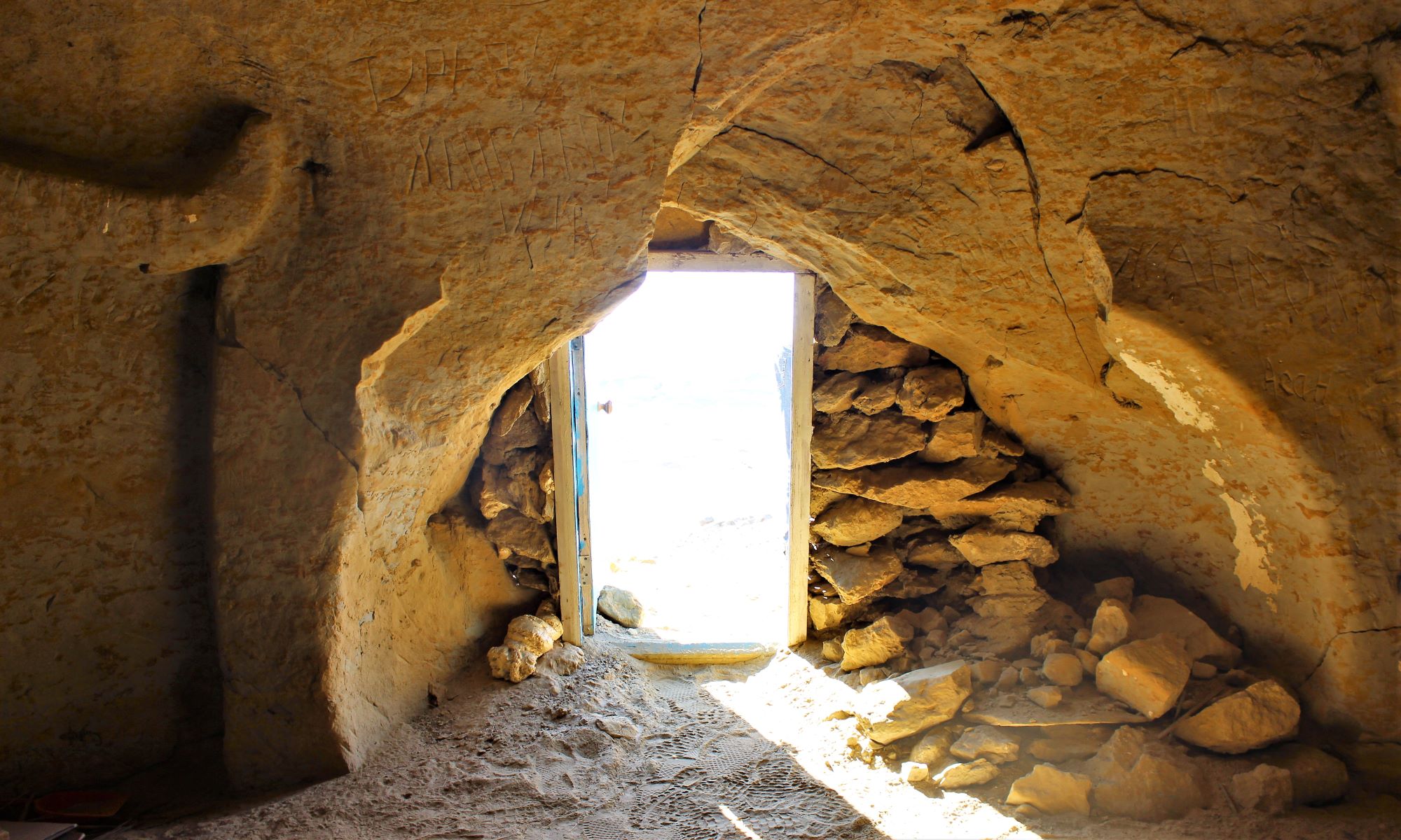
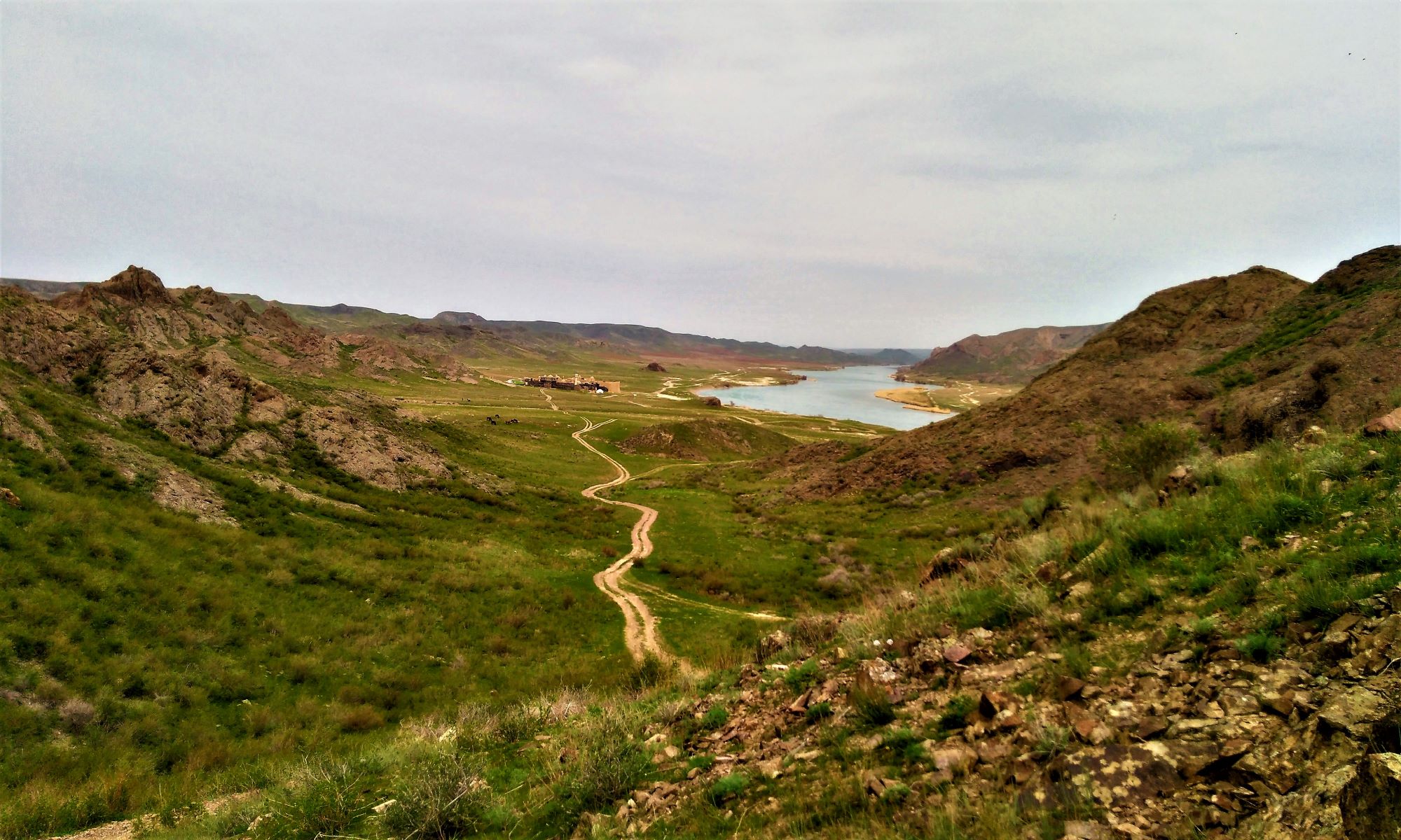
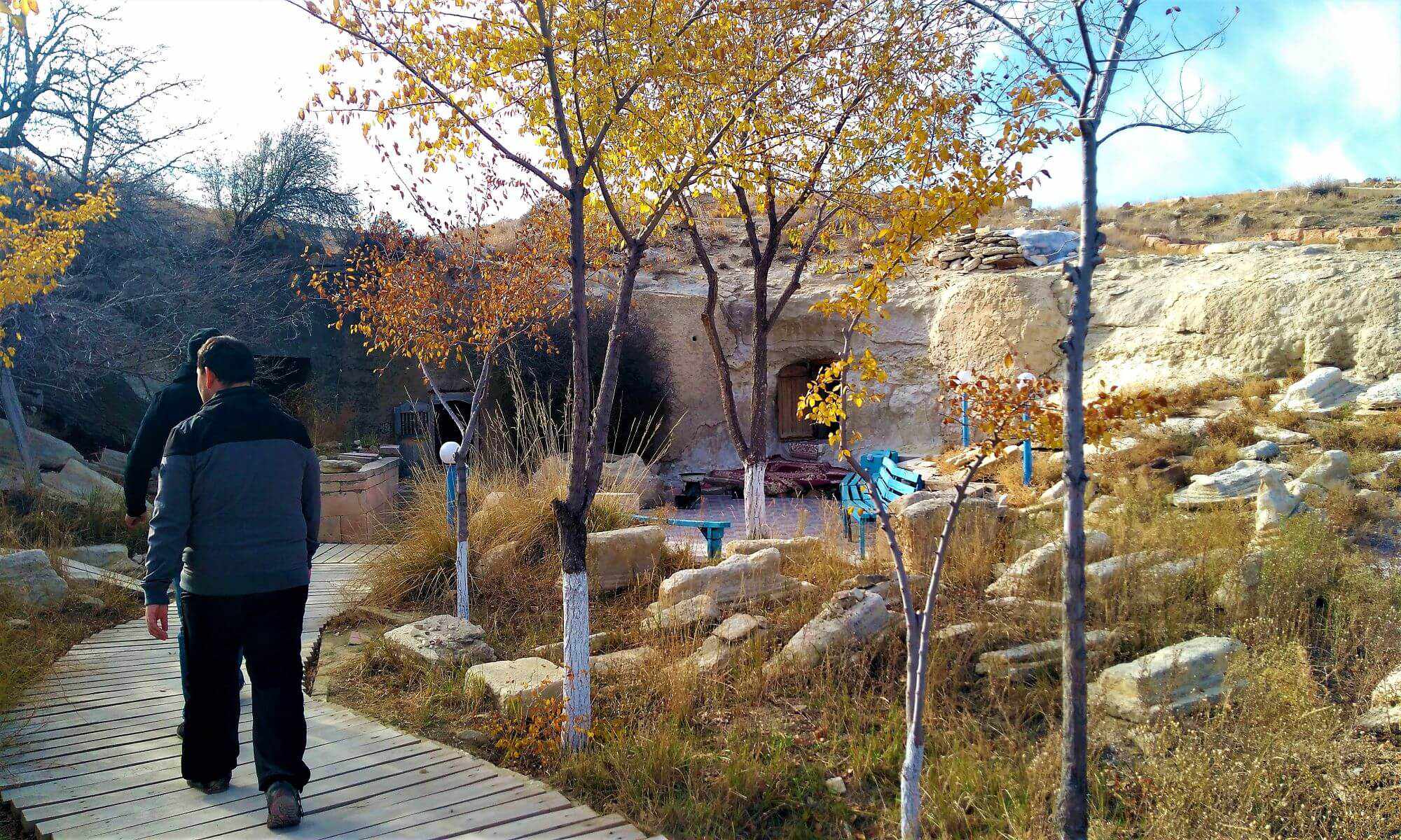
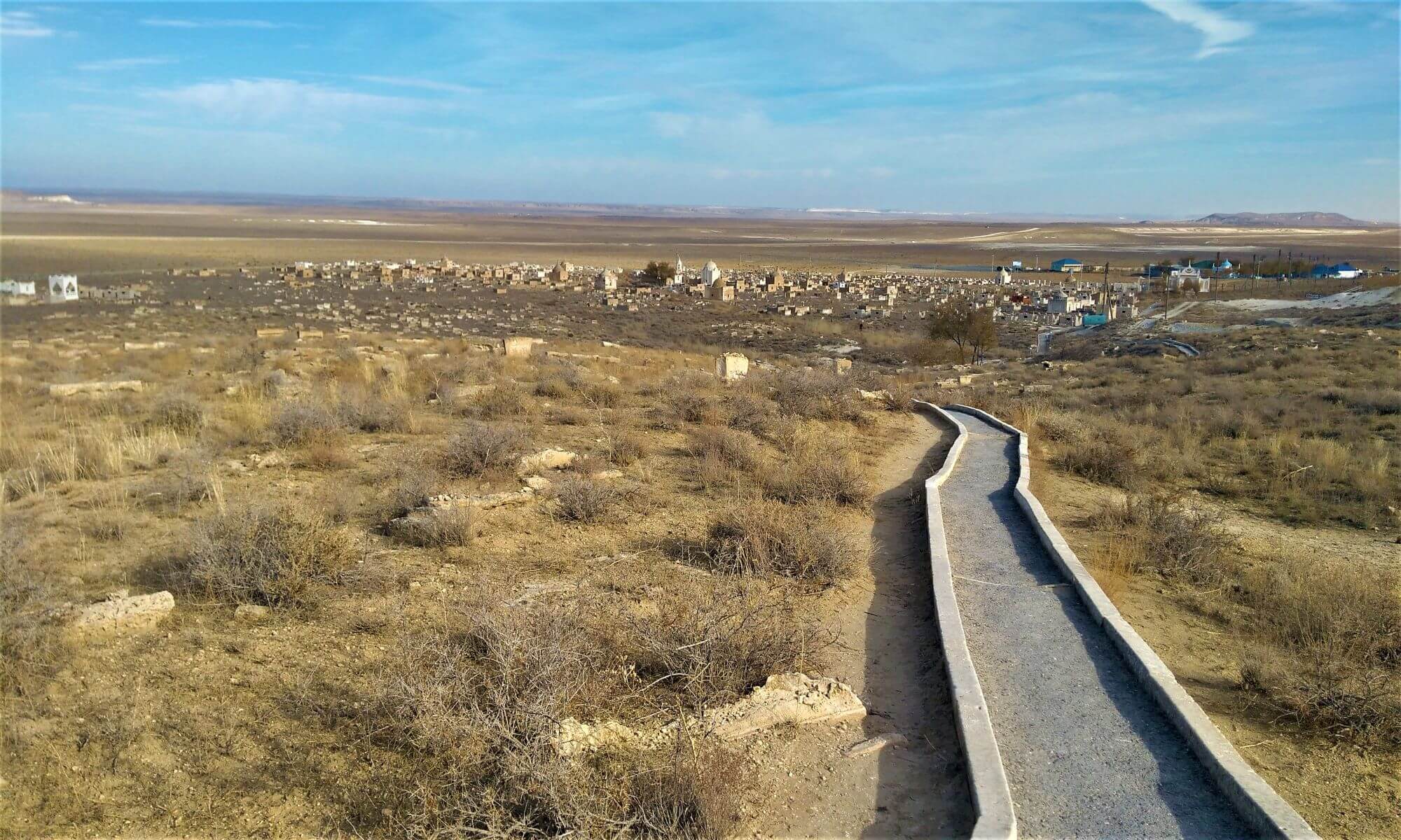
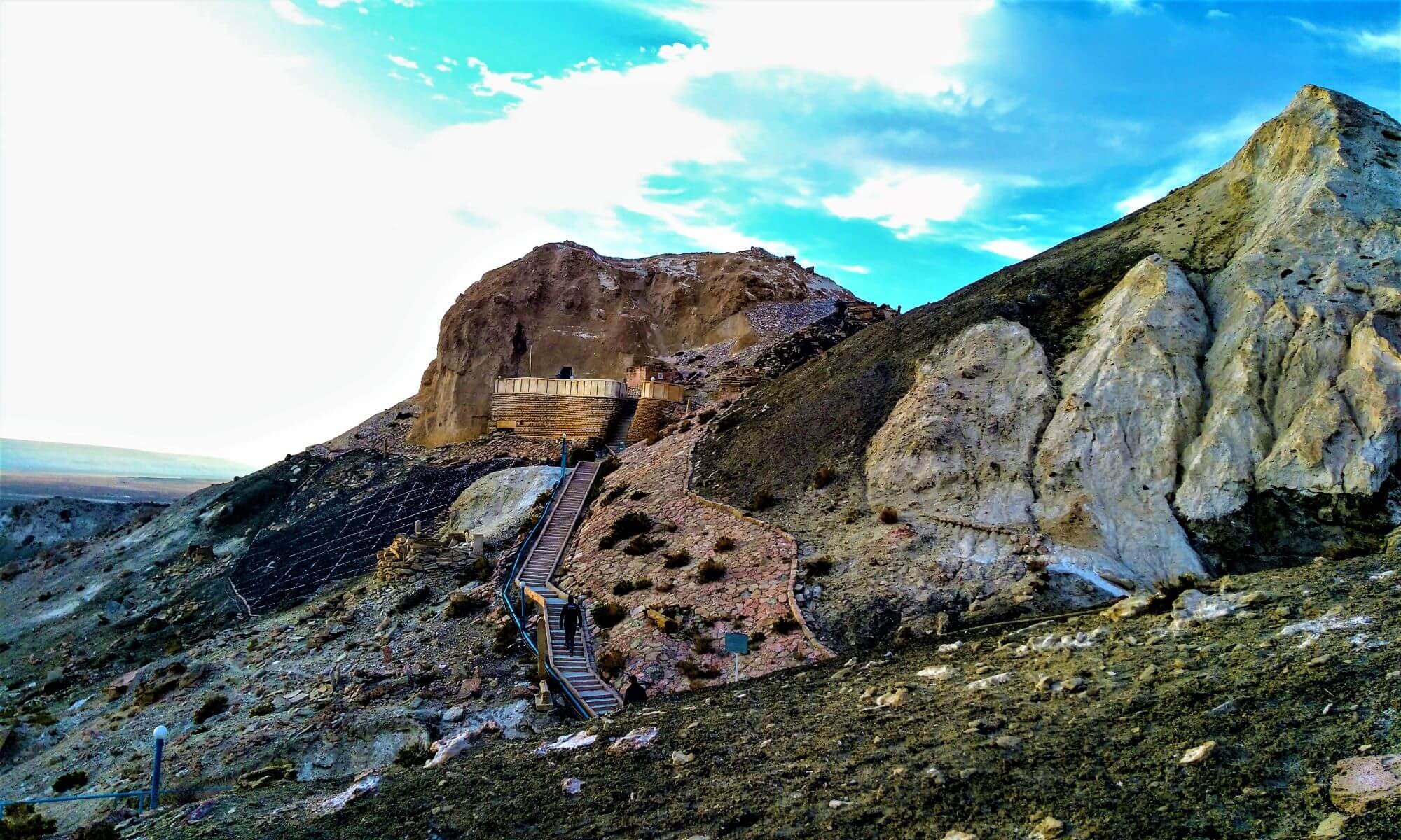
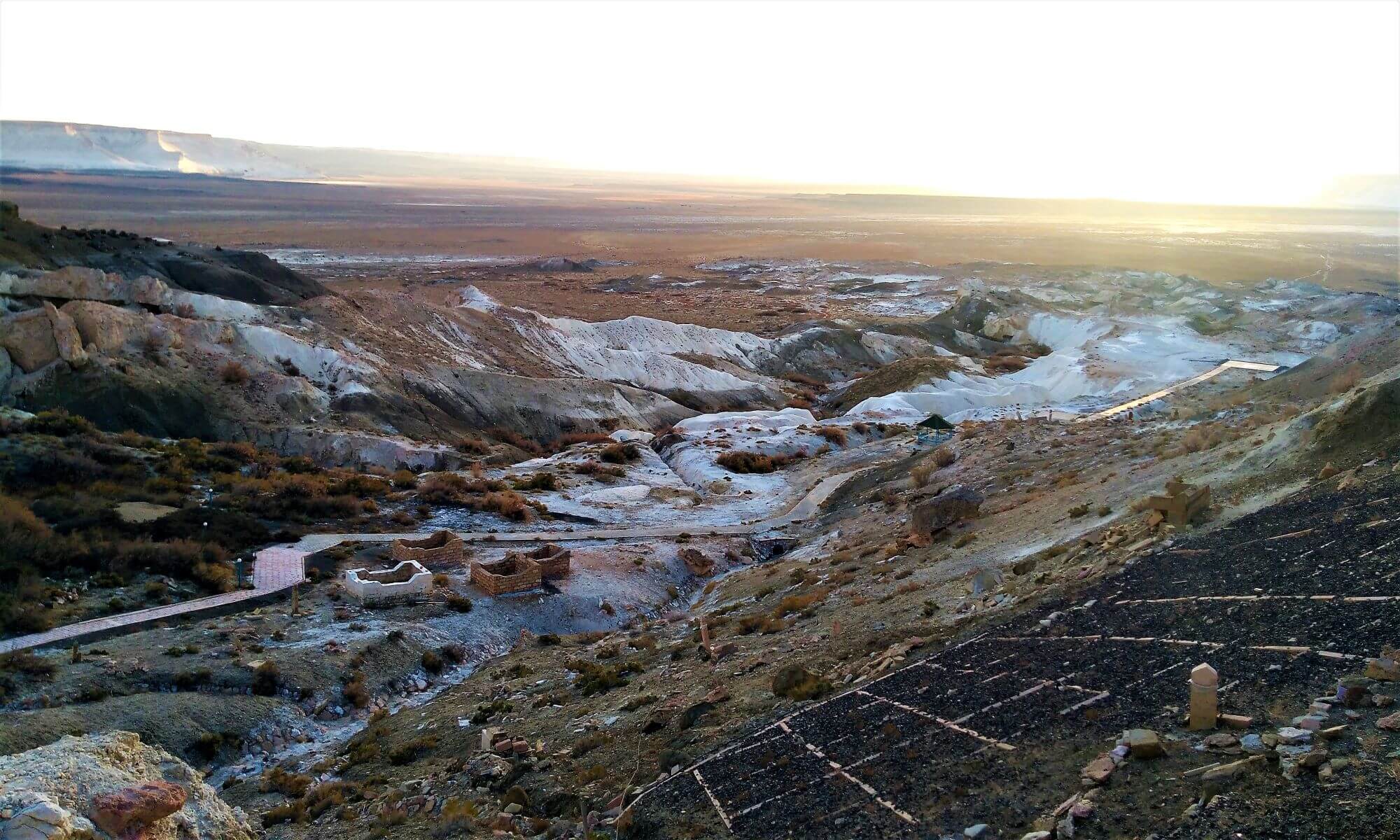
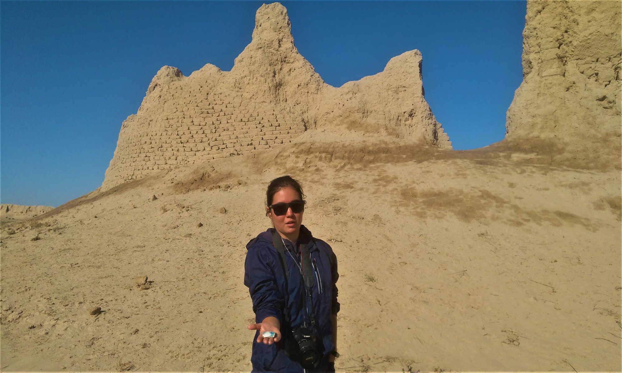
 There are in the Syresik-Atyrau desert the most unique objects of global interest - cities lost in the sands. The story of their discovery is quite fascinating. Imagine, one autumn a freight forwarding vehicle covered with a tarpaulin left Almaty. It housed archaeologists. A yellow, still cold disk of the sun fell out from behind a steep brown dune. After a few minutes, it turns red hot. It's getting hot, the air is ringing with dryness. The alternation of sandy ridges and takyrs quickly tires you. Around, wherever you look, depressing dull monotony. And suddenly, like a mirage, from the top of one of the sandy hillocks a view of the ruins of the ancient city opened up. He stood up, as if from a fairy tale, with a silver quadrangle of walls, with swollen towers - the mysterious white settlement of Ak-Tam - the shepherds call it "white ruins". They are white from a thick layer of salt that has appeared on their surface. The inner part of the settlement is a flat area, in places covered with takyrs and overgrown with saxaul.
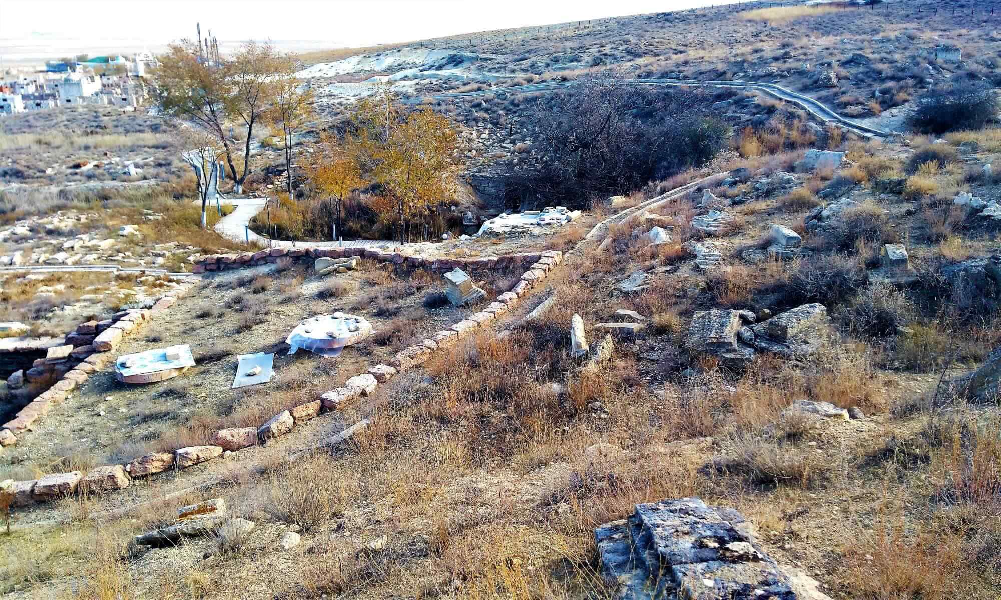
On the western side of Ak-Tam, one and a half kilometers from it, archaeologists have discovered a main canal, taken out of the Orta-Bakanas channel, with a length of 20 km. Even now, half buried in sand and overgrown with saxaul, it makes a strong impression. Its width is almost 5 m, its depth is 2 meters. Remains of an earthen dam, about 20 m long and up to 3 m high, have been preserved at the head of the canal.
The ruins of the city represent an elevated rectangular area surrounded by a collapsed wall. The mound is oriented with corners to the cardinal points. Its long southwestern and northeastern walls are 180 m, and the short southeastern and northwestern walls are 170 m. All four corners are fortified by strongly protruding round towers with a diameter of 10–12 m, and now they are up to 3 m high. Long walls had 4 towers, 35 m from one another, short - two towers each, covering the entrances to the city.
The entrances are arranged in the form of L-shaped corridors. A person entering the city could always be struck by a hail of arrows shot at him from the right side, from which he was not covered by a shield.
 The next morning found the archaeologists on their way. It was necessary to examine the ancient river bed. Ortasu, from which the main canal was also withdrawn. The settlement Karamergen was discovered 3 km north of the confluence of the now dry rivers Ortasu and Shet-Bakanas. From here to the village of Bakanas 200 km.
The territory of the settlement is a rectangle with the long sides of 120 m, the smaller ones - 110 m. The fortress wall, which once surrounded the city, has now swam and turned into a rampart with sloping rounded walls. However, even now, its three-meter height is impressive. An even more impressive sight is produced by the ruins of corner towers as high as a two-story house. On each side, apart from the corner ones, there are two more towers of somewhat smaller sizes. Entrances in the form of G-ob-different corridors can be traced in the middle of the northwestern and southeastern walls. Outside, immediately under the wall, there are deep, once filled with water ditches. Now they swam and crumbled.
 And what caused the death of Ak-Tam, Karamergen, Agashayak, as well as other cities and settlements discovered by archaeologists not far from the named fortresses? Perhaps the hordes of foreign invaders, devastating them, took with them all the population that survived the pogroms and massacres? Or did the water leave the once deep rivers, dams collapsed, canals dried up, and people themselves left this once-blooming land so as not to perish under the fierce sun on the earth blazing from the heat? When the desert triumphed and the hot wind destroyed the domes of the palaces and the dilapidated walls of the huts? Unfortunately, it turned out to be impossible to organize any large excavations. Too great difficulties have arisen with the delivery of water here. For the time being, archaeologists had to confine themselves to stratigraphic pits - excavations that cut through the entire thickness of the cultural layer of the monument. In its walls, layers-strata are visible, each of which corresponds to a certain period of the monument's life. The lowest layer is the most ancient, the topmost is the latest. If the layer is thick, contains a lot of ceramics and other objects, remnants of building structures, then the city was built, experienced a period of prosperity, but if layers of fire and destruction are visible in the layer, it means during this period the city was sieged, stormed and burned. Three pits were laid at the Ak-Tam settlement and two at Karamergen. It turned out that both settlements are single-layer. The thickness of the cultural strata averaged 0.8 - 1.3 m. If we consider that the thickness of the cultural layers is tens of meters on the settlements that existed for many hundreds of years, it becomes clear that the Bakanas cities lived for a relatively short time. The crockery shards can be dated to the 10th century; life ceased in them at the beginning of the 13th century.
 During his travels Rubruk described a certain city of Kailak. The city was known in the sources of the XI - early XIII centuries. as Kayalyk - the capital of the Karluk jabgu, an independent possession of the Karluk Turks in the Karakhanid kaganate. Rubruk somewhat distorted the name of the city. The area occupied by the Kayalyk settlement extends 1.2 km from southwest to southeast and 1 km from northwest to northeast. The city wall is well preserved from the north-east and south-west sides. Now it is a rampart up to 10-15 m high with hillocks of towers on it every 20-25 m.
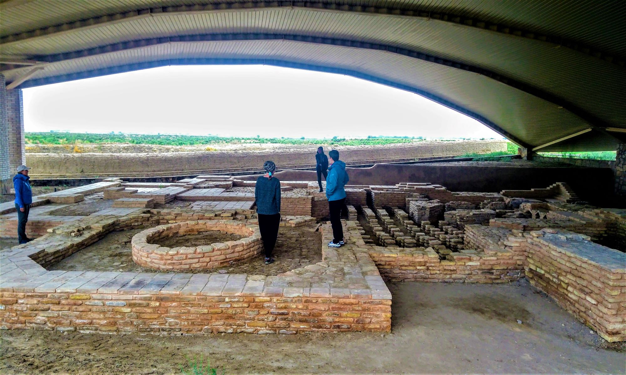
During the excavation of the Buddhist temple in the rubble of Kayalyk and on the floors of the central hall and corridors, fragments of large hums were collected, and also a fragment of a jug with a spout in the form of a bull's head was found. The pottery dates back to the 12th - 13th centuries. Other finds include an iron dagger and iron door butts, as well as bronze items.
A heated mosque was also discovered in Kayalyk. The Kayalyk mosque is one of the architectural structures of the "forest of columns" or "pillar" type. This means that there were no additional load-bearing walls inside the mosque, and the wooden-reed roof rested on numerous wooden columns. The columns have not survived, but the stone bases on which they relied have remained. There are 54 such bases in total. The size of the mosque, built and existed at the end of the 12th - 13th centuries. testify that it was conciliar, that is, the main one in the city and, apparently, in the entire state of Karluk jabgu.
Searches and excavations of a Christian church are still ahead, but for now, interesting results have been obtained during excavations of the rich estate of Kayalyk. Residential and household buildings were opened here, and the residential buildings were heated by a system of underground channels through which hot smoke and heat circulated from a special oven. The interior decoration of the front rooms of the estate was decorated with carved ornaments. The Chinese ceramics, Iranian chandeliers (ceramics covered with golden brown paint) and glass, Central Asian bronze found in the estate suggest that a wealthy owner lived here, who had the opportunity to purchase expensive foreign goods.
The above facts convincingly prove that archaeologists have discovered and are studying a large city of the 9th-14th centuries in the Ili Valley. - Kayalyk, which was an important political, economic and cultural center of Karluks on the Great Silk Road.
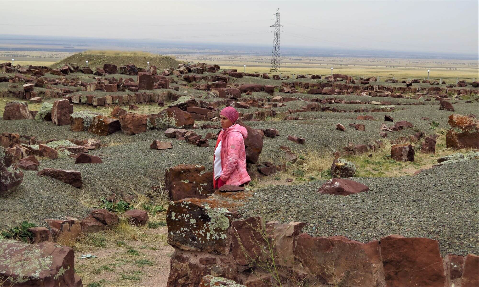
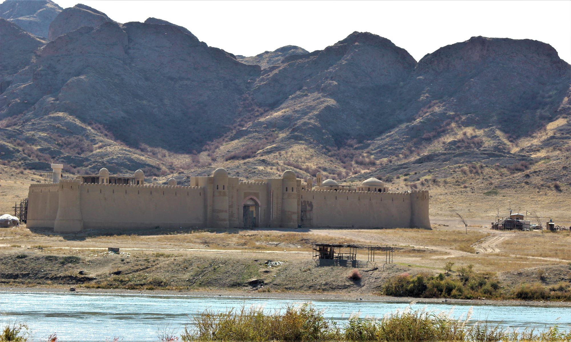
 40 km east of the city of Taraz, slightly south of the Ak-Chulak railway station, on the sun-scorched waterless slopes of the Kyrgyz ridge, a red-brown monolith rise the grandiose ruins of a stone structure. This is Akyrtas settlement. Giant stone blocks, as if thrown by someone's mighty hand, are scattered here and there around this truly fantastic structure. The ruins are located on the side of the mountain. The northern façade faces a wide valley, the southern façade faces the mountain range; from the west and east, the ruins are surrounded by low hills. Akyrtas gave birth to many legends and traditions in human minds. Its construction was associated with the legendary Kyrgyz hero Manas and his son. The son would have thrown huge stones to his father from the distant mountains, and Manas made a grandiose dwelling out of them, in which they lived until their death. Another legend tells about the giant Alan-Khazar, who, having fallen in love with a de-ear, undertook to fulfill one of her "small" whims and undertook to build a stone palace and a city for her. Having started a business somewhat unusual for the hero, Alan-Khazar suddenly discovered the absence of water in the place he had chosen for the palace. Then he decided to pave the way through the mountains to the full-flowing Talas, but during this lesson he suddenly fell in love with another beauty. Alan-Khazar's work was interrupted at this, and the construction remained unfinished.
Akyrtas is a monumental quadrangular structure unfinished to the end, its walls are laid out of massive stone blocks of red sandstone and erected to a height of 1 to 1.5 m. The blocks were laid in one or two, less often in three or four rows. The building plan (dimensions 180x205 m), oriented with some deviations of the sides from north to south, is well readable.
Akyrtas was classified as a Buddhist monastery, as a monastery of non-Storrian Christians, and as an Arab fortress palace. The latest research makes us see a palace in the construction of Akyrtas, which was supposed to become the summer residence of the ruler. It could have been the Karluk kagan. As you know, the Karluks ruled in the western part of Semirechye from 766 to 893.
 Sairam village is located 12 km east of Shymkent, immersed in dense greenery of gardens. Its streets are lined with rows of poplars, and around are cotton plantations and wheat fields. However, not many people know that eight to ten centuries ago Sairam was the center of a vast district with dozens of cities, craft settlements and agricultural settlements. During the heyday of the capital, the power of its rulers, even such large cities as Taraz, Otrar, Sauran and Turkestan were included in the region.In that era that was distant from us for several centuries, Sairam bore a different name - Ispidzhab. In 1214 Sairam, like Taraz, was destroyed by the ruler of a huge empire, Khorezmshah Muhammad.
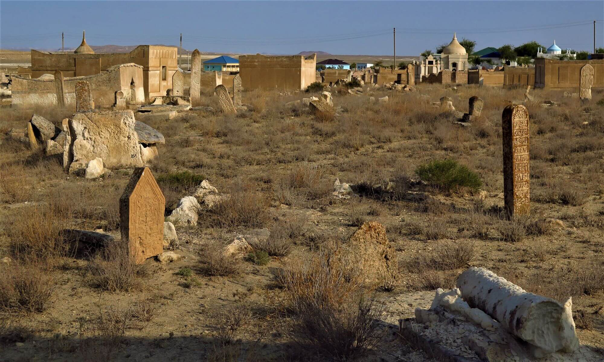
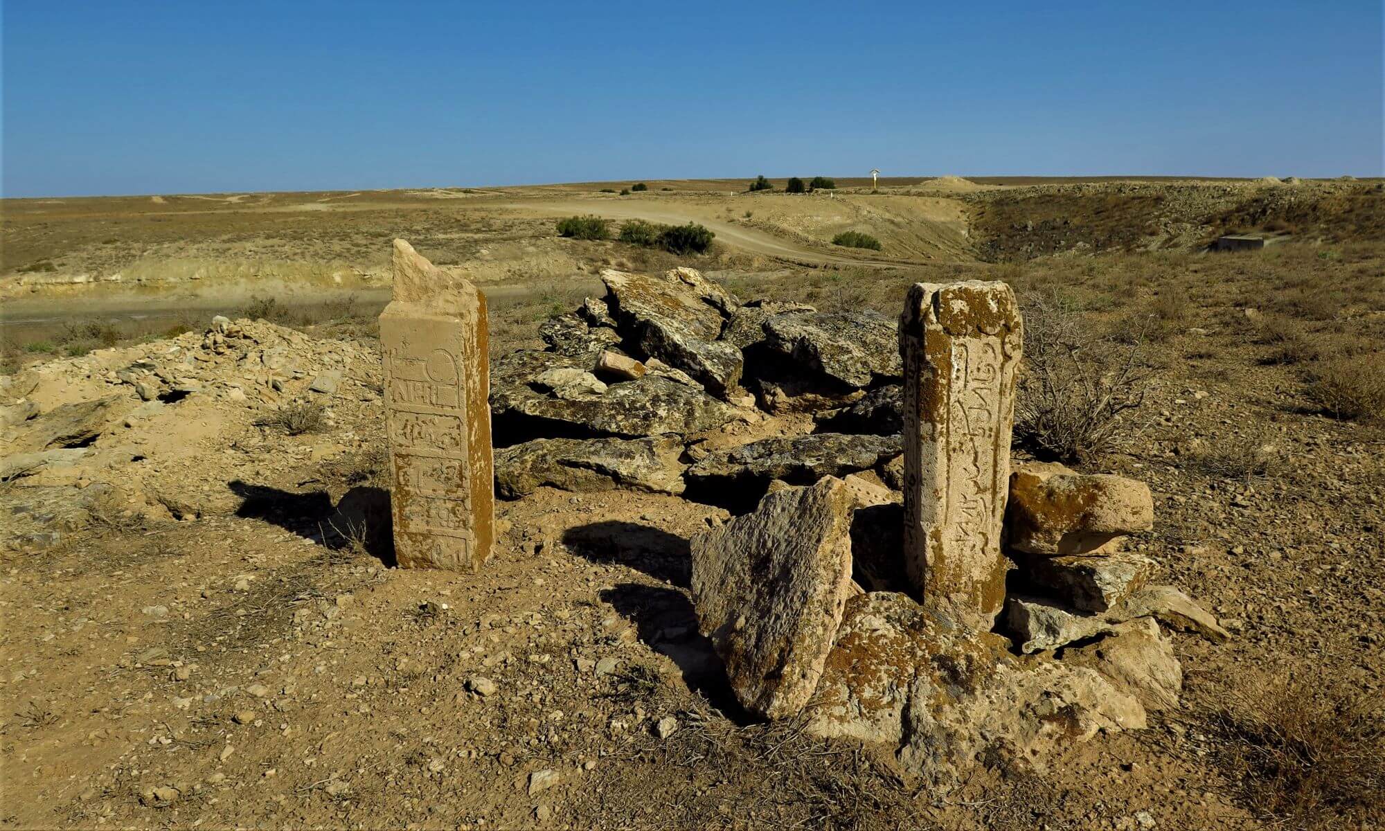
There are many “holy places” in Sairam - mazars, which have survived in a rebuilt form to this day. One of the oldest can be considered the mazar Padshah Malik Baba, or Miralibaba, who lived at the end of the 11th and 12th centuries. Mausoleums were also erected on the graves of Ibrahim-ata and Karashash-ana, father and mother of Ahmed Yasavi.
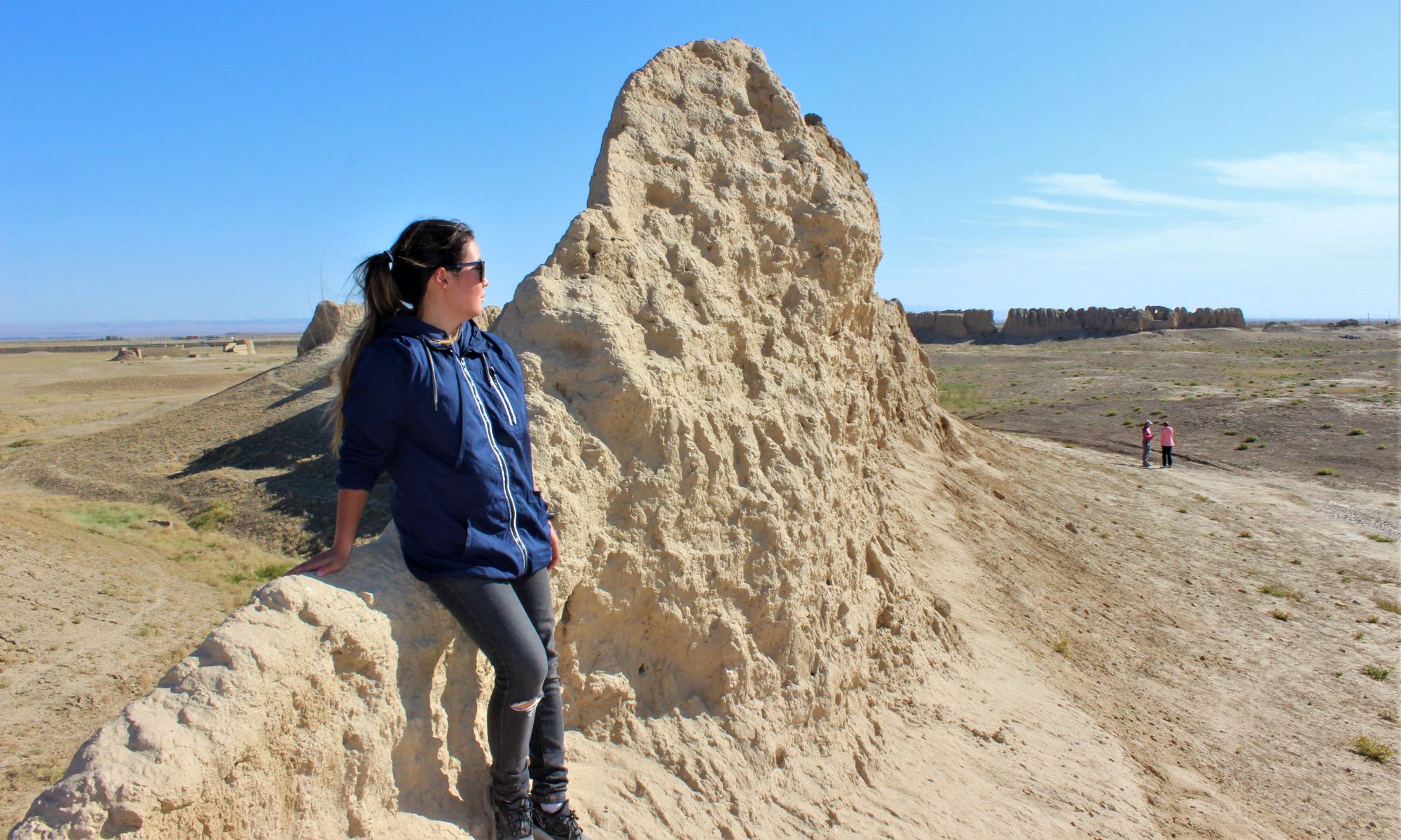
 In Kazakhstan, it is difficult to find a region more interesting in archaeological terms than the Otrar oasis. Where r. The Arys flows into the Syrdarya, on an area of about 300 km2 there are over fifty ruins of ancient cities, settlements, small estates and watchtowers. Each hill, which was formed on the site of ancient settlements, has its own name: Altyn-tepe, Jalpak-tepe, Kuyruk-tepe, Mardan, Pchakchi-tepe and many others. Most of the cities and settlements that surrounded Otrar in antiquity were abandoned in the X-XII centuries, and therefore it is not surprising that the folk legends did not retain historically reliable names. And only the Otrar settlement itself carried its name through the centuries.
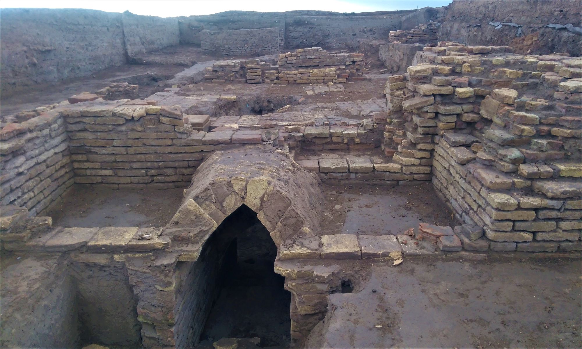
The ruins of Otrar are covered with a “carpet” of ceramics from different eras: from ancient Kangyu tableware to fine examples of glazed ceramics of the 15th – 16th centuries. There are coins minted in the era of the Samanids on behalf of the Jochids and Chagatai khans. Time randomly selects ceramics and coins from the layers of the settlement and throws them to the surface. There were also occasional finds of hoards of coins. Potters made cauldrons, pots, pans, and jugs. Tableware is very diverse. These are jugs and bowls, bowls, plates, dishes, trays and vases. Glass production was established in the city. Decanters, vases, glasses, bowls, vessels for incense were made from it. Glass was made transparent and colored in green, blue, yellow and pink colors. All this was determined by archaeologists thanks to the remains of slag and defective glass products. In archaeological terms, Otrar was a blank spot until recently. Only in 1971 was the South Kazakhstan complex archaeological expedition organized, until 1990 headed by the archaeologist K.A. Akishev. And year after year, the restoration of the ancient life of Otrar and the cities of the oasis began. Step by step, scientists opened more and more new pages of history.
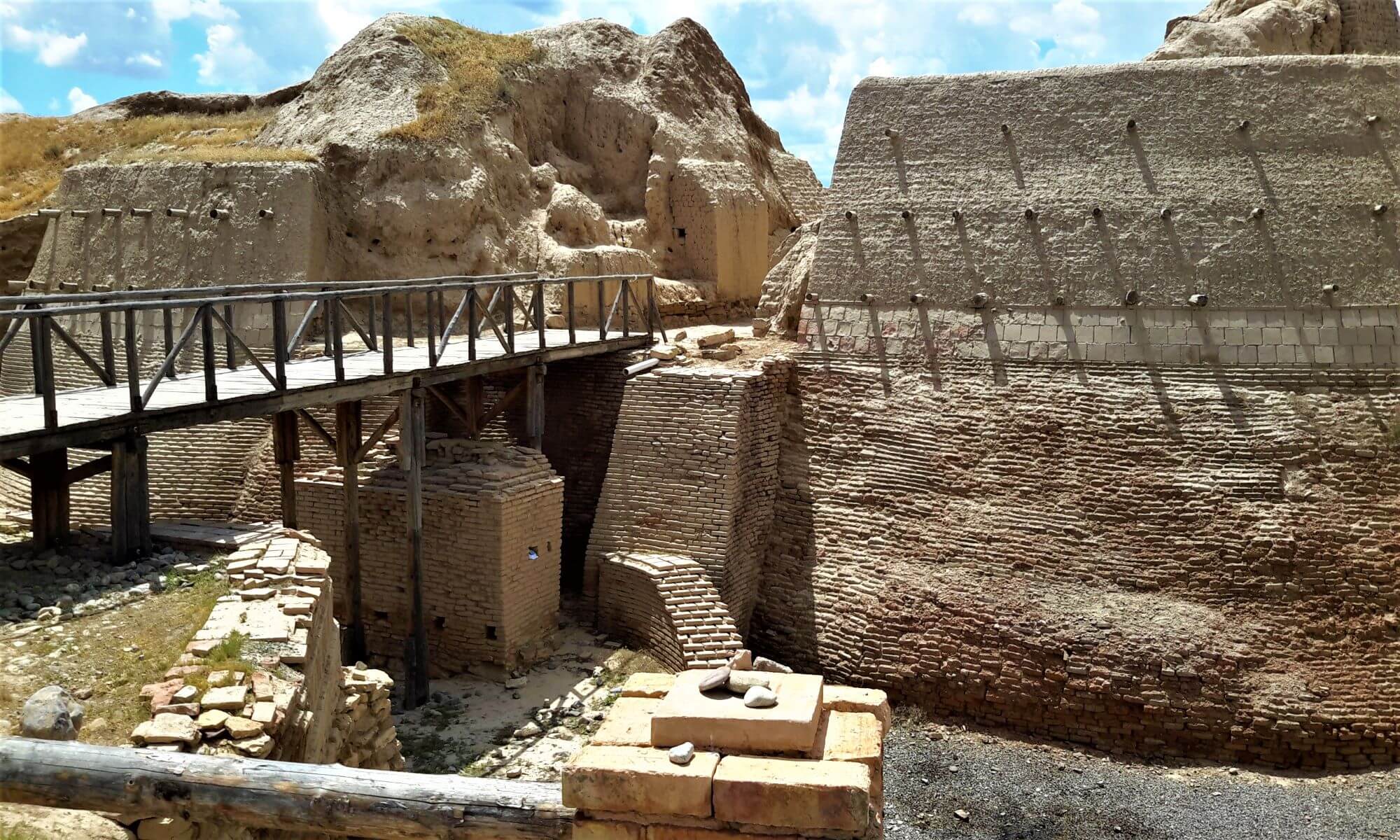
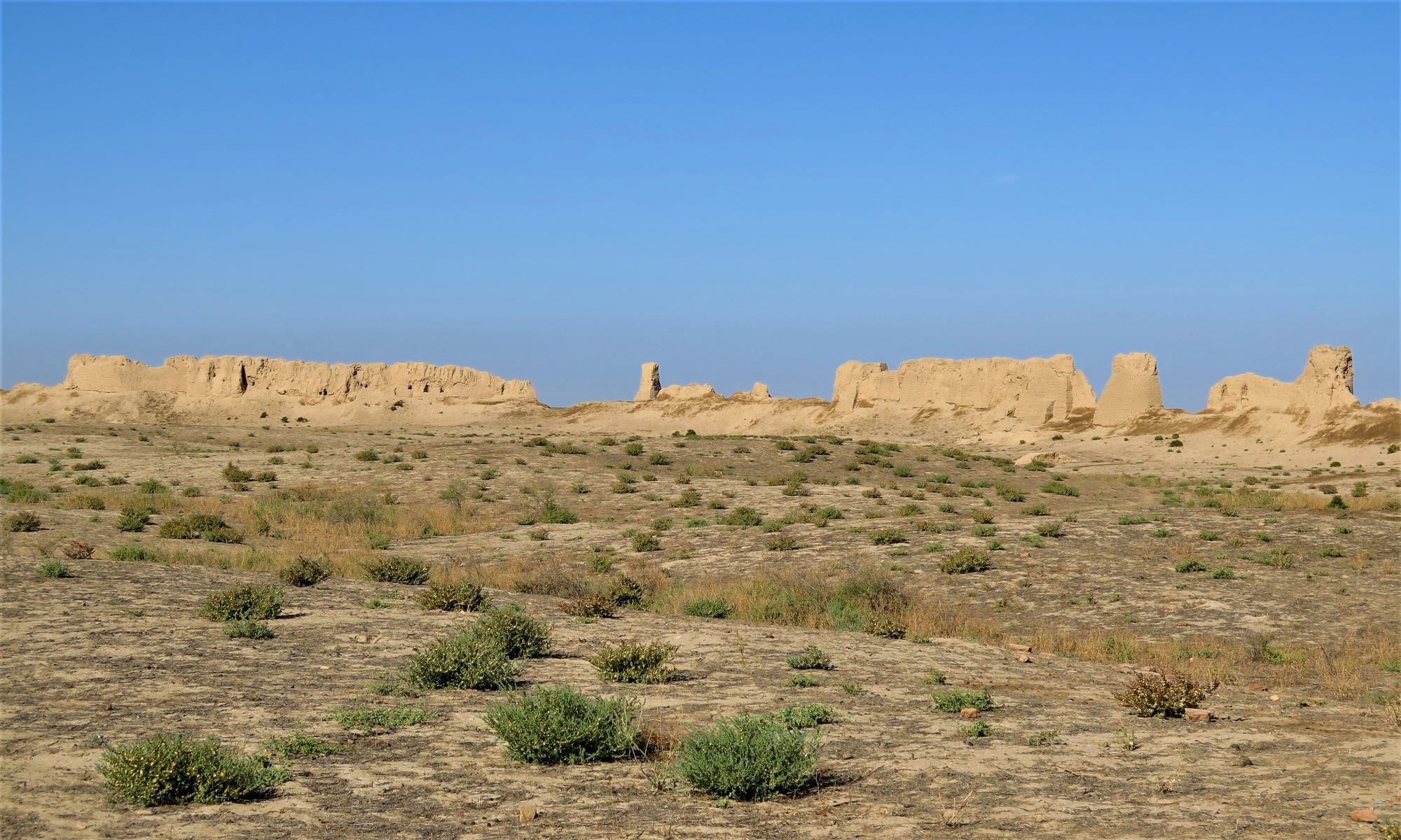
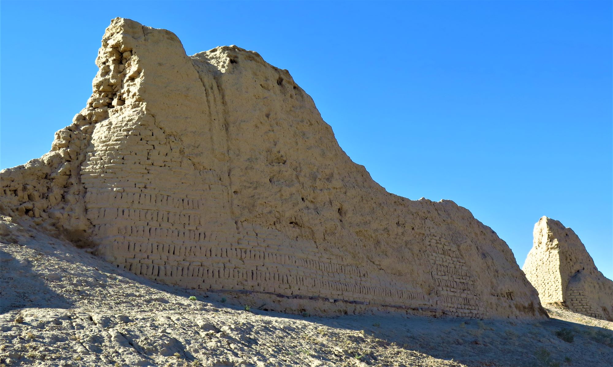
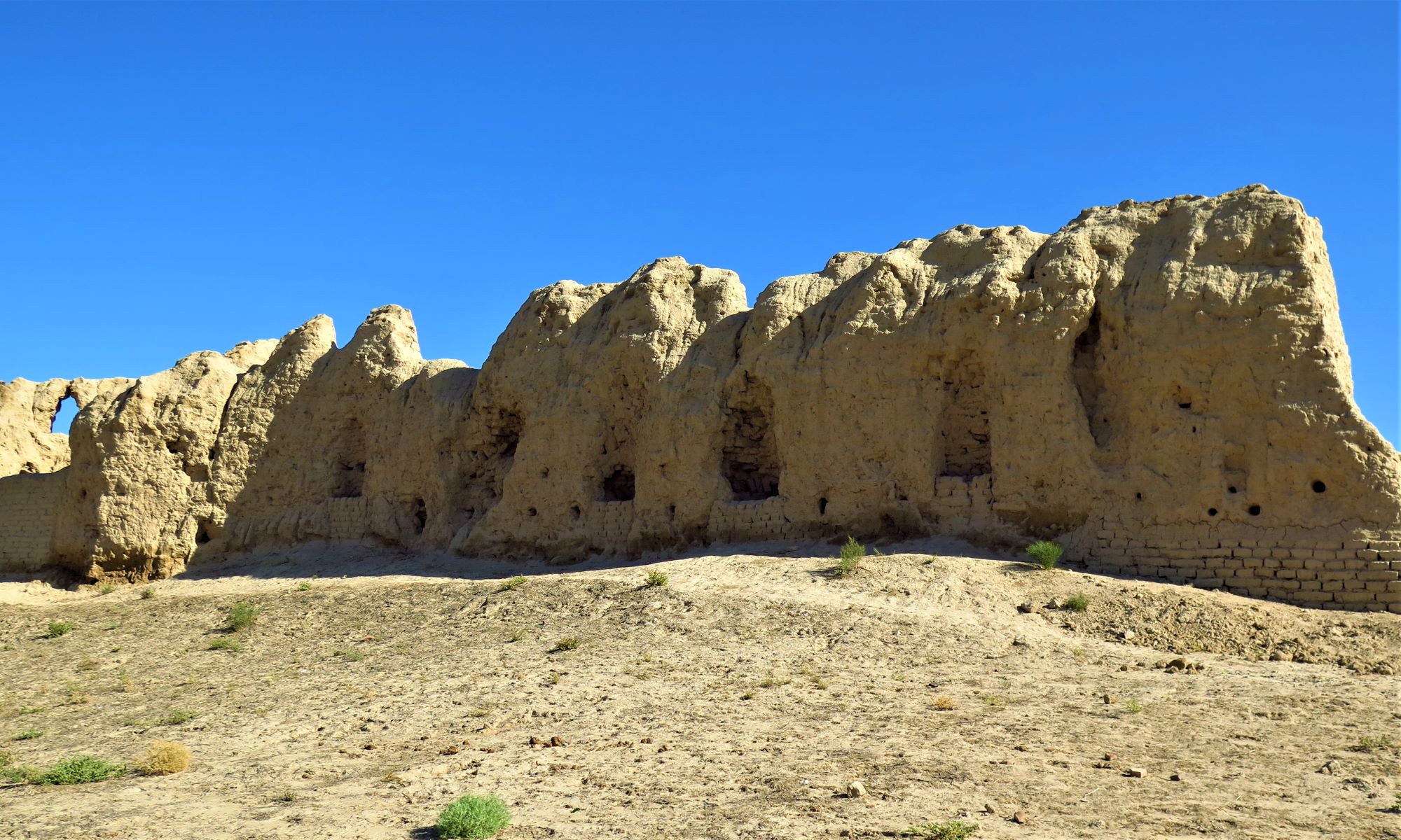
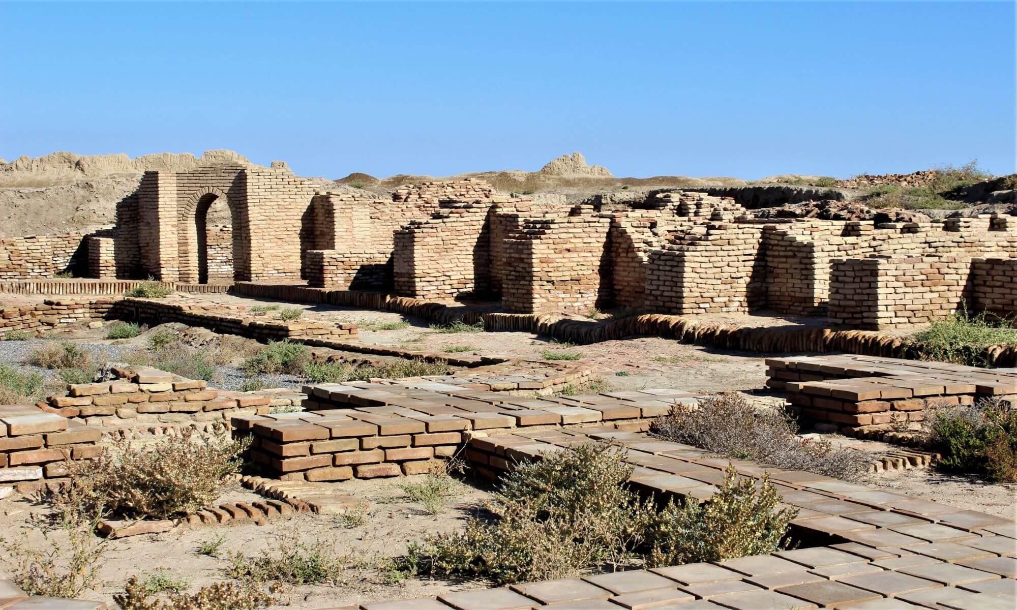
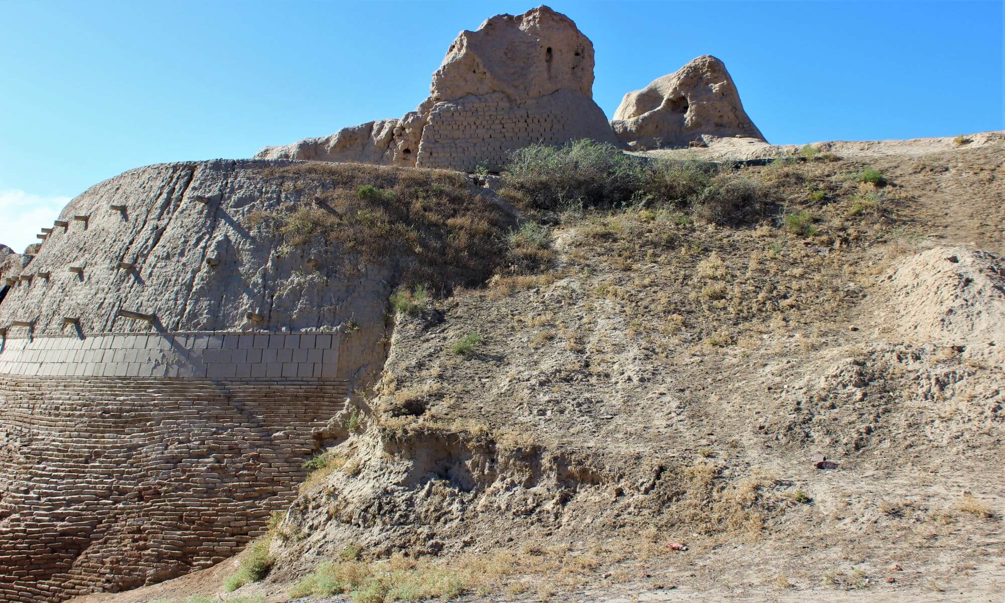
Otrar covers an area of 20 hectares. The southern side stretches for 380 m, the south-west - for 145 m, the west - for 400 m, the northeast - for 380 m and the east - for 350 m. by comparing the instrumental plan of Otrar, aerial photographs and visual observations, it was possible to reveal some details of the previous layout. The central part is surrounded on all sides by a wall, which now retains a steepness of 75–80 ̊ in some of its sections. Towers are visible on the wall, which were undoubtedly round: now they look like rounded hillocks protruding beyond the line of the wall; the towers at the corners are clearly visible, worse - along the perimeter of the walls. An ancient moat is visible behind the wall. Now it is a hollow 2-3 m deep, 10-15 m wide with sloping edges. The suburb of Otrar is surrounded on all sides by a wall, partially destroyed, behind which there is a moat, in some areas and now swampy.
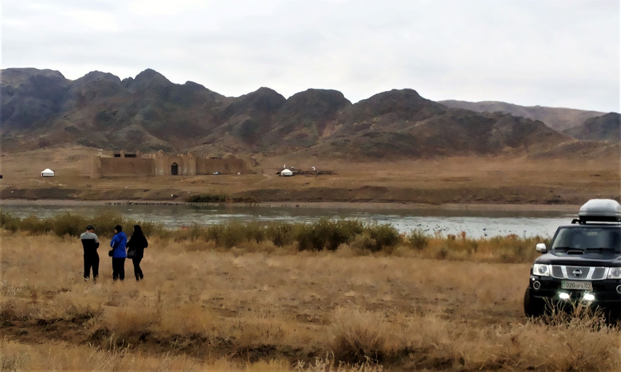
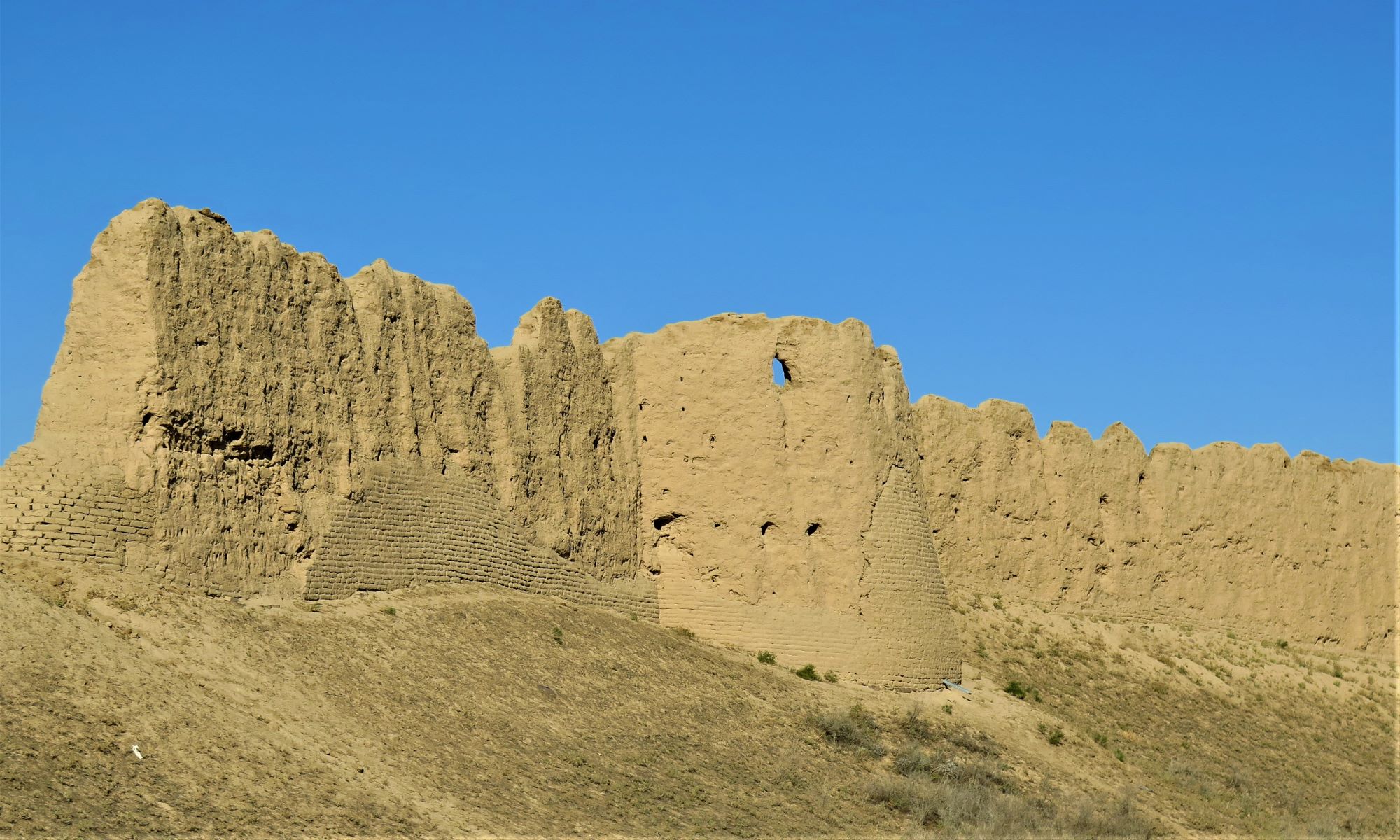
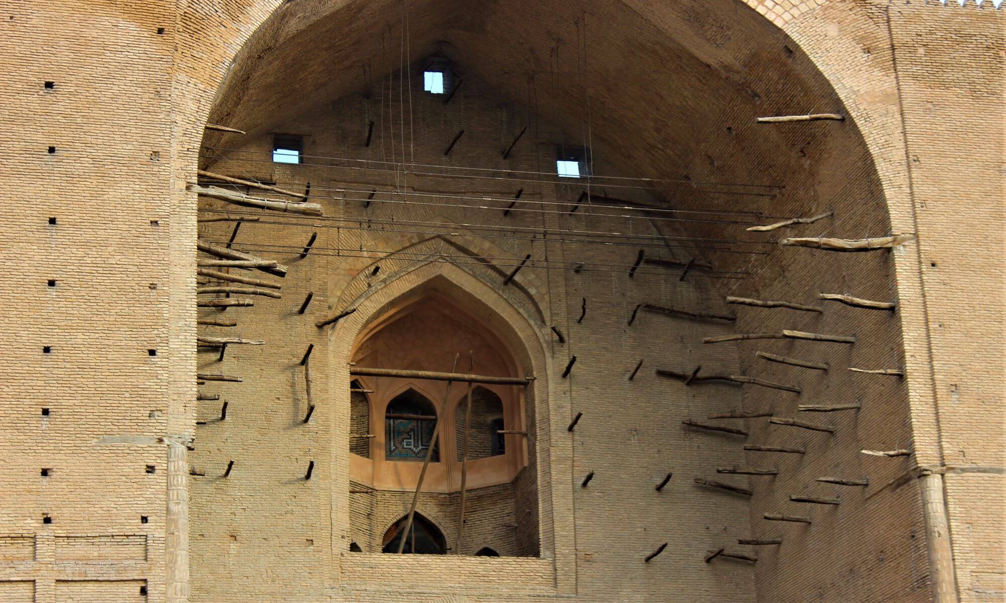
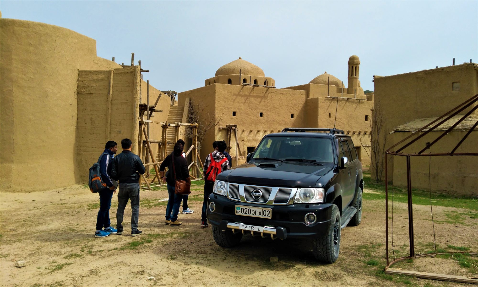
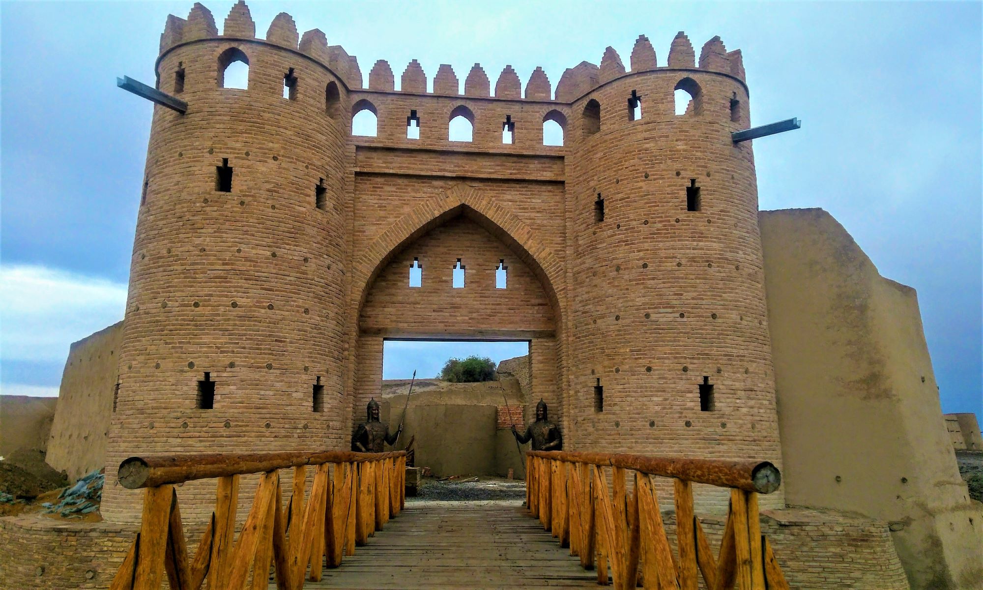
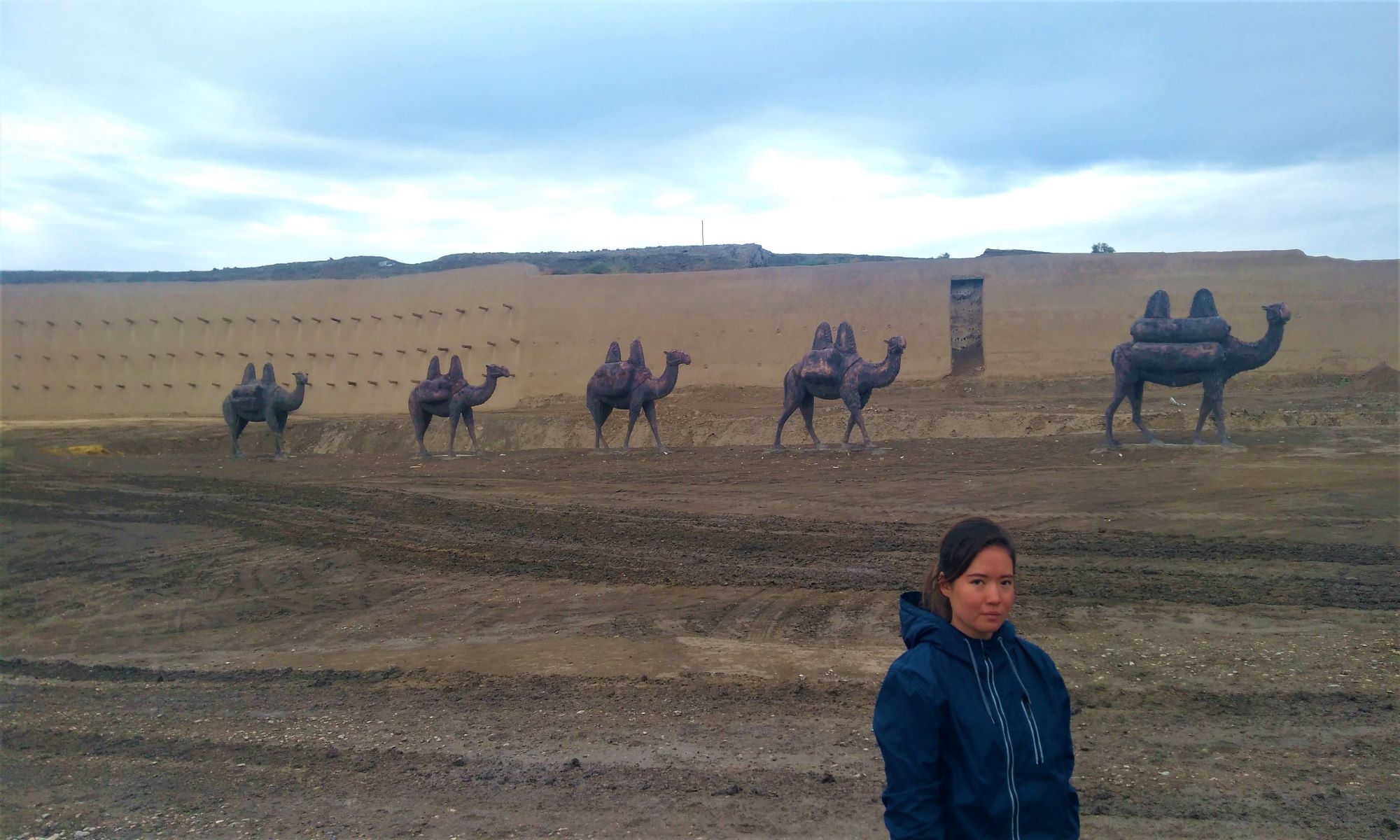
 The settlement of Sauran ... In the archaeological literature, it is customary to begin the description of ancient cities with the words: "The remains of the ancient city are ...". You can't say that about Sauran. The city stands as it stood two and three hundred years ago, and only the scorched steppe around and dry canals indicate that the city is dead. The well-preserved battlement walls with loopholes and massive round towers protruding far are clearly visible. The city can be entered from two sides: from the northeast and southeast. The gate is formed by twenty-meter corridor-shaped sections of the wall curved outward. The width of the passages is 15–18 m. Entering the gate, you involuntarily feel the massiveness of the fortress wall, built of pakhsa, alternating with adobe brickwork. The height of the wall reaches six meters above the surrounding terrain, at the base its thickness is up to three meters. On the territory of 33 hectares, the layout of the city is perfectly readable with squares, streets, dead ends of lanes with swollen remnants of houses. By the massive outcrops of slag and defective products, one can guess ceramic and metal workshops, deposits of burnt bricks indicate the remains of rich houses and administrative buildings. The first mention of the city dates back to the 10th century. The famous Arab geographer al-Maqdisi described it as follows: “Sauran (Savran, Sabran) is a large city surrounded by 7 walls one after another, and there is a rabad in it, the cathedral mosque is located in the inner city. It is a frontier fortress against the Oguzes and Kipchaks”.
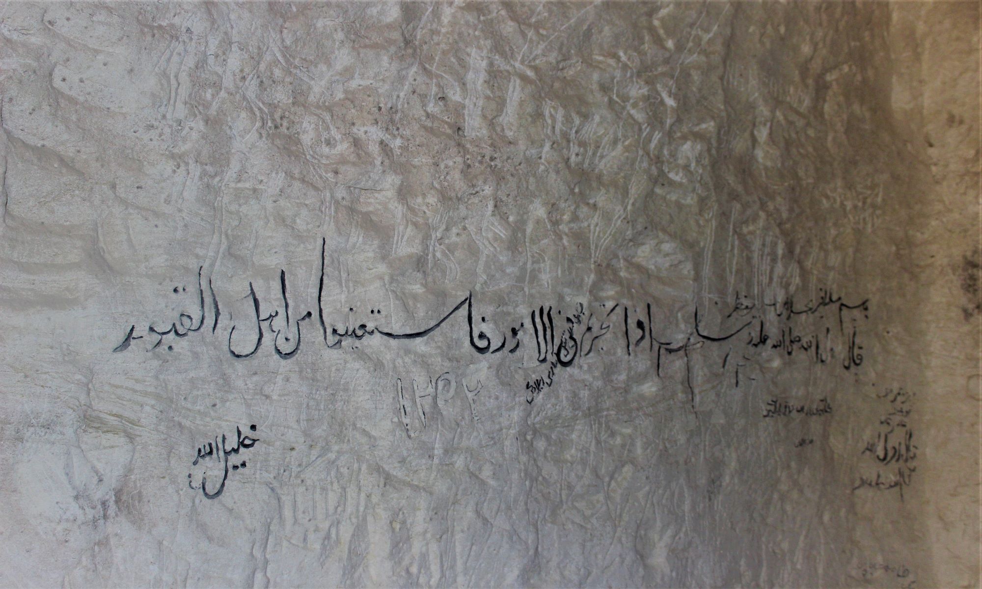
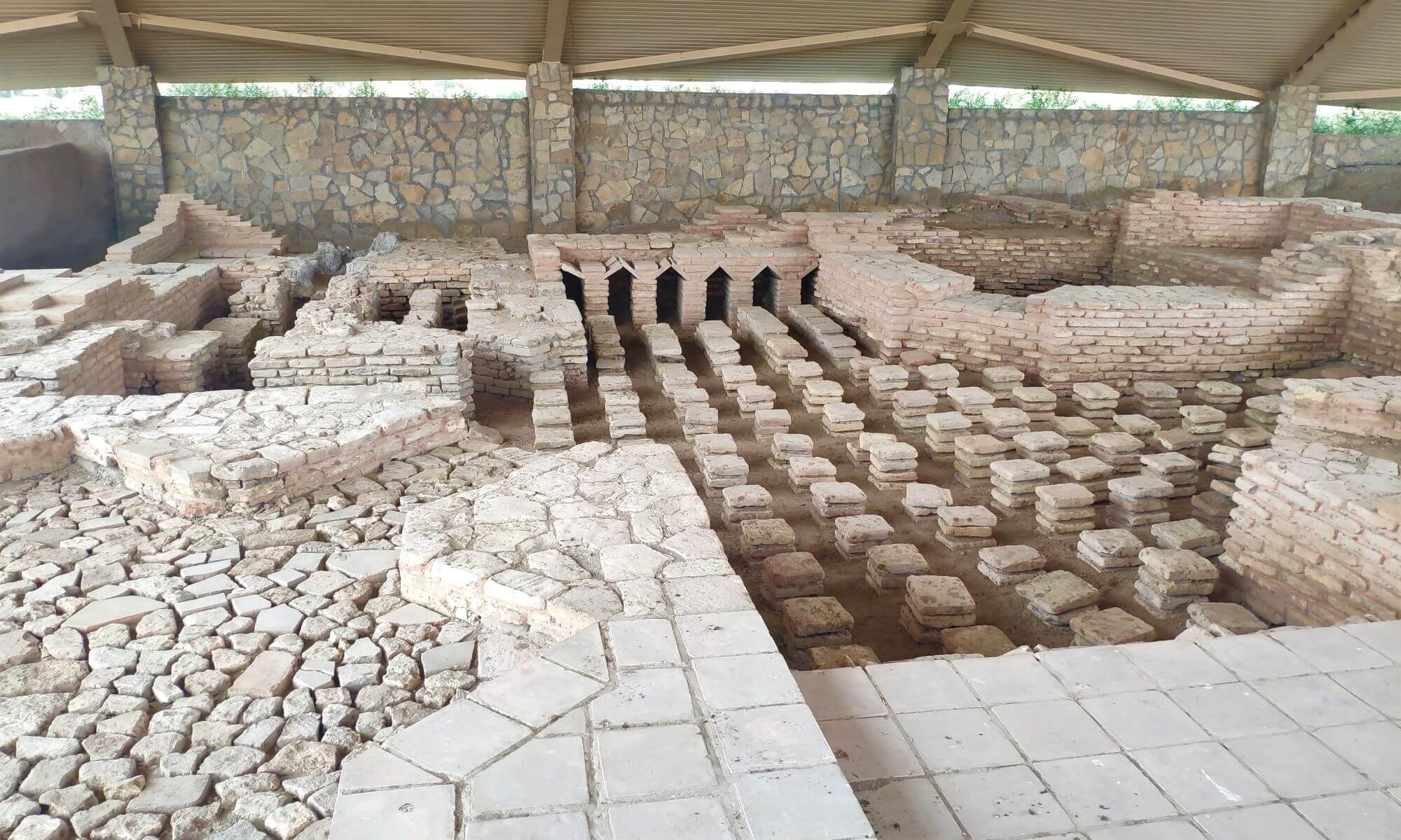
Valuable information about the city is contained in the memoirs of the poet and writer Vasifi, who lived here in 1514-1515. He reports on one of the most remarkable city buildings - a madrasah with two swinging minarets: “On the shoulders of his aivan there are two high minarets of extraordinary height and extreme nobility. Chains are attached to the "guldast" of those minarets, and a log is attached under the domes of each minaret so that someone sets the log in motion with force, the chain vibrates, and it seems to those on the opposite minaret that the minaret will collapse, and this is one thing of the wonders of the world. " "Swinging" minarets are known in the architecture of the Middle East and for earlier eras. Vasifi also describes the water supply of the city, which is unusual for Kazakhstan, by means of kyariz - underground galleries through which underground waters are discharged outside. "People like them," notes Vasifi, "have not been seen by people who have traveled the whole world on land and at sea."
 If the location of Sauran XIII-XVIII centuries. there is no doubt and the settlement of Sauran corresponds to it, the localization of the pre-Mongol city was a reason for discussion, since there are no layers with materials earlier than the 12th century on the settlement. Only a thorough examination of the environs of the settlement made it possible to find the location of the pre-Mongol city. In 3 km east of Sauran, there is the settlement of Karatobe. It dates back to the first centuries A.D. - XII century. A collection of irrigation bowls typical of the 11th – 12th centuries was collected at the site. transparent glaze over white engobe and painted in green, red and brown colors. In the western part of the Karatobe rabad, traces of ceramic production were noted - the remains of furnaces, slags, and defective products. The topography of the settlement is characterized by the presence of features inherent in the cities of the developed Middle Ages. It contains a citadel, shahristan and rabad. But the most compelling argument in favor of the Karatobe - Sauran identity is the discovered remains of several rows of walls around the rabad. Their outer ring is at a distance of 1–1.5 km from the central ruins; inside there are at least two more rings of walls. Written sources mention a similar description of the fortifications of the city, in particular, seven rows of walls. Apparently, it is the remains of these walls that can be traced in the topography of the Karatobe settlement. Thus, now it can be argued that the pre-Mongol Sauran of the first centuries. AD - XII centuries. was located on the site of the settlement of Karatobe, and Sauran of the XIII-XVIII centuries. was moved to a new location, and the monument of the same name corresponds to it.